Keller Loop
At a glance
Keller Loop is an easy out-and-back hike of about 1.6 miles in Fort Abraham Lincoln State Park in North Dakota, managed by State Park and Recreation. The route is roughly 3.3 miles long when you go out and back, with a total climb of about 437 feet and a high point of 1,854 feet. The trail is rated easy, and the steepest stretch comes at about 1.2 miles in, with a grade of about 8 percent. The trail is open to both horses and bikes, so riders and pack animals can join the walk. Summer is the most comfortable time to go. Typical averages from a nearby weather station in Mandan show July highs around 83°F with lows near 58°F, while winter highs stay in the 20s. Several other trails sit close by. Cavalry Square Loop is about 0.2 miles away, and the Mandan-Fort Lincoln Bike Trail is about 0.4 miles off. Bloody Knife Trail and Mato-tope Trail are each within a mile.
- round trip
- 1.6 mi
- climb
- 437 ft
- high point
- 1,854 ft
- route
- Out and back
- time
- About 45 minutes
- best months
- Mid-Apr–early Jul, mid-Aug–late Oct
Where it is: Fort Abraham Lincoln State Park
Near: Bismarck
Best weeks to go
Mid-April to early July and mid-August to late October are usually best for hiking here.
Typical highs of 55–80°F and lows of 31°F or warmer in those weeks. Rain falls on about 35% of days at the wettest of them, so plan around showers.
Typical weather: NOAA 1991–2020 normals at Mandan Exp Stn, ND, 5 mi away. Not a forecast.
Typical weather by monthBest time to visit Keller Loop
Best months: April–June and September–October. Best months are the ones mostly made of the best weeks for hiking: typical temperatures in its comfortable range, few snowy days and not usually wet, judged with the same limits as our good-day forecasts.
Jan
22°
3°
5 wet
Feb
27°
6°
4 wet
Mar
40°
18°
5 wet
Apr
54°
30°
7 wet
May
67°
43°
10 wet
Jun
76°
53°
10 wet
Jul
83°
58°
9 wet
Aug
82°
56°
7 wet
Sep
72°
46°
6 wet
Oct
56°
32°
5 wet
Nov
40°
19°
4 wet
Dec
27°
8°
5 wet
Typical high / low (°F) and days with rain or snow, 1991–2020. Measured at Mandan Exp Stn, ND, 4.6 mi away at 1,750 ft. This station doesn't record snowfall. Source: NOAA NCEI U.S. Climate Normals 1991–2020.
Been here? Tell people how it was.
- Cavalry Square LoopHiking0.2 mi
 Mandan-Fort Lincoln Bike TrailHikingPhoto: Stabbur's Master, CC BY-SA 2.0 (via Flickr)0.4 mi
- Bloody Knife TrailHiking0.6 mi
- Mato-tope TrailHikingPhoto: Stabbur's Master, CC BY-SA 2.0 (via Flickr)0.7 mi
- Young Hawk LoopHiking0.7 mi
- Little Soldier LoopHiking0.7 mi
- Bob-Tailed Bull PassHiking0.9 mi
- Missouri RiverRiver fishing3.4 mi
- Mandan-Fort Lincoln Bike TrailHikingPhoto: Stabbur's Master, CC BY-SA 2.0 (via Flickr)Next door
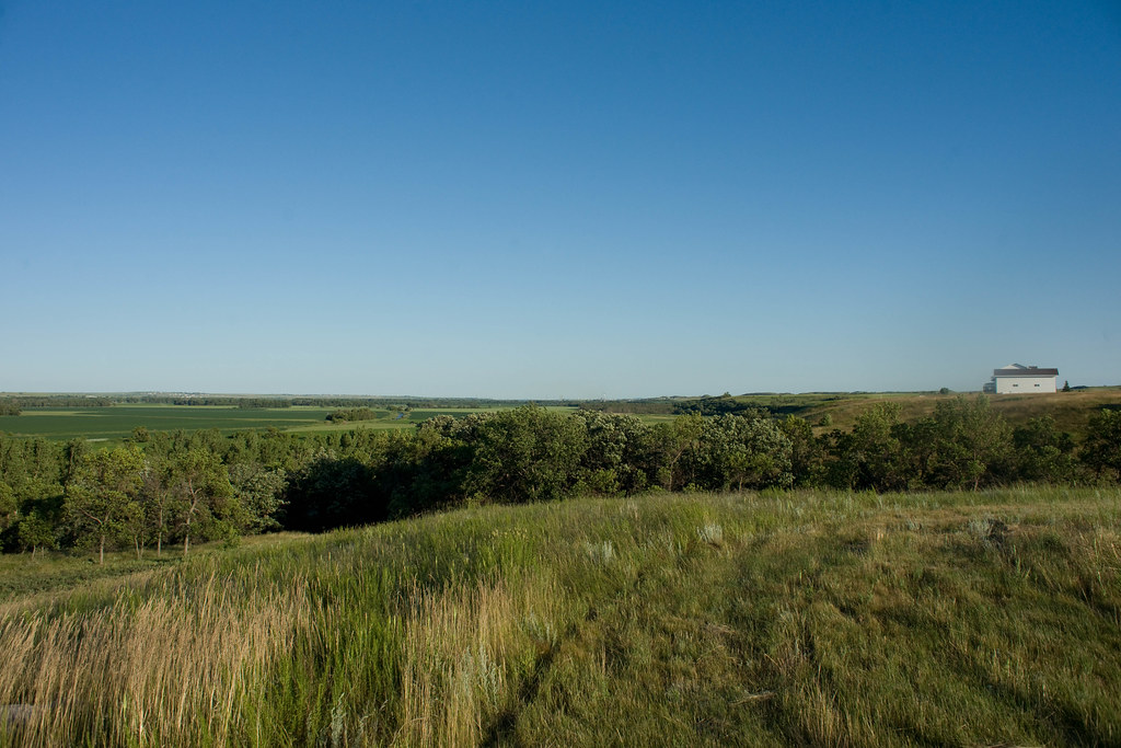 Harmon Lake Recreational TrailHikingPhoto: In memoriam afiler, CC BY-SA 2.0 (via Flickr)~24 min drive
- Roughrider TrailHiking~10 min drive
- Mato-tope TrailHikingPhoto: Stabbur's Master, CC BY-SA 2.0 (via Flickr)~1 min drive
- Mcclusky CanalHiking~1h 9m drive
 Bridge LoopHikingPhoto: Magicpiano, CC BY-SA 4.0 (via Wikimedia Commons)~7 min drive
- Chain Of Lakes Recreation AreaHiking~1h 11m drive
 Dogwood LoopHikingPhoto: Magicpiano, CC BY-SA 4.0 (via Wikimedia Commons)~9 min drive
- Fishing LoopHikingPhoto: Magicpiano, CC BY-SA 4.0 (via Wikimedia Commons)~9 min drive
 Ma-ak-oti TrailHikingPhoto: David Becker, CC BY 2.0 (via Wikimedia Commons)~53 min drive
Conditions and forecast
Daily highs and lows, wind and the chance of precipitation at Start for the next 7 days, from the Open-Meteo model.
Ask about this place
Questions about Keller Loop: conditions, access, timing. Answers say when something isn't known.
