Roughrider Trail
- 22.1 mi
- round trip
- 396 ft
- climb
- 1,695 ft
- high point
- Out and back
- route
- May–Oct
- best months
Roughrider Trail is a hard, out-and-back route in North Dakota, about a mile from the town of Schmidt. The trail is 44.3 miles long, with a total elevation gain of 134 feet. It starts at 1,649 feet and reaches a high point of 1,695 feet. The trail is open to both bikes and horses. That makes it a practical choice for anyone riding a horse or a bicycle rather than just walking. Summer is the most comfortable time to go. Typical July averages from the Bismarck weather station, about 6 miles away, run around 85°F for highs and 58°F for lows. Winters there are severe, with January highs near 23°F. Nearby options include the Mandan-Fort Lincoln Bike Trail, about 5.6 miles away, and the Cavalry Square Loop and Keller Loop, each just under 6 miles off. The Missouri River, about 8.3 miles away, offers river fishing.
 Mandan-Fort Lincoln Bike TrailHikingPhoto: Stabbur's Master, CC BY-SA 2.0 (via Flickr)5.6 mi
- Cavalry Square LoopHiking5.7 mi
- Keller LoopHiking5.7 mi
- Mato-tope TrailHikingPhoto: Stabbur's Master, CC BY-SA 2.0 (via Flickr)6.1 mi
- Young Hawk LoopHiking6.3 mi
- Little Soldier LoopHiking6.3 mi
- Bloody Knife TrailHiking6.4 mi
- Missouri RiverRiver fishing8.3 mi
Source: Roamze catalog (indexable pages within 10 miles, PostGIS distance)
- Mandan-Fort Lincoln Bike TrailHiking · ~10 min drivePhoto: Stabbur's Master, CC BY-SA 2.0 (via Flickr)
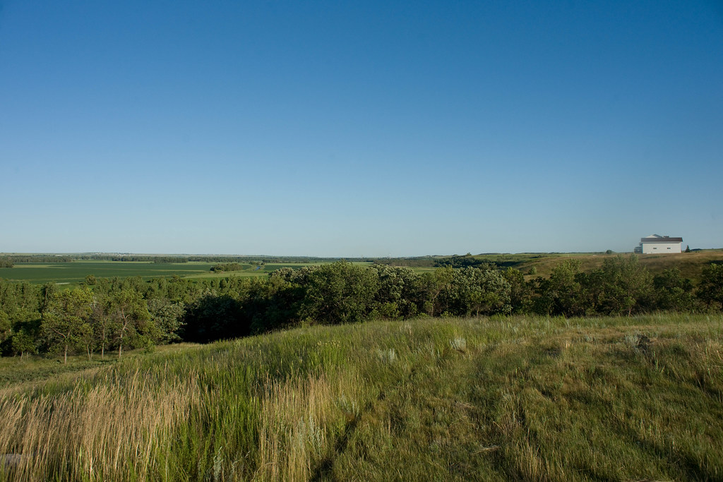 Harmon Lake Recreational TrailHiking · ~33 min drivePhoto: In memoriam afiler, CC BY-SA 2.0 (via Flickr)
- Mcclusky CanalHiking · ~1h 16m drive
- Mato-tope TrailHiking · ~10 min drivePhoto: Stabbur's Master, CC BY-SA 2.0 (via Flickr)
- Chain Of Lakes Recreation AreaHiking · ~1h 20m drive
 Bridge LoopHiking · ~16 min drivePhoto: Magicpiano, CC BY-SA 4.0 (via Wikimedia Commons)
 Dogwood LoopHiking · ~18 min drivePhoto: Magicpiano, CC BY-SA 4.0 (via Wikimedia Commons)
- Fishing LoopHiking · ~19 min drivePhoto: Magicpiano, CC BY-SA 4.0 (via Wikimedia Commons)
 Ma-ak-oti TrailHiking · ~1h 2m drivePhoto: David Becker, CC BY 2.0 (via Wikimedia Commons)
- Cavalry Square LoopHiking · ~10 min drive
Best time to visit Roughrider Trail
Best months: May–October. Best months have typical highs of 55–85 °F, lows of 30 °F or warmer (32 °F where the station doesn't record snow), at most one snowy day and no more than 12 wet days.
Jan
23° / 2°
8 wet
Feb
28° / 7°
7 wet
Mar
41° / 19°
8 wet
Apr
56° / 30°
8 wet
May
68° / 42°
11 wet
Jun
78° / 53°
11 wet
Jul
85° / 58°
10 wet
Aug
83° / 56°
8 wet
Sep
73° / 46°
7 wet
Oct
57° / 33°
7 wet
Nov
41° / 19°
7 wet
Dec
28° / 8°
8 wet
Typical high / low (°F) and days with rain or snow, 1991–2020. Measured at Bismarck, ND, 6.3 mi away at 1,658 ft. This station doesn't record snowfall. Source: NOAA NCEI U.S. Climate Normals 1991–2020.
