Salto Uruyén
- 2,281 ft
- elevation
- Instituto Nacional de Parques
- managed by
- Feb–Mar
- best months
Salto Uruyén is a waterfall in Bolívar State, Venezuela, at about 2,280 ft above sea level. It is inside Parque Nacional Canaima. The nearest town is Kamarata, about 11 miles west of the falls. Salto Akareupa is within about 3 miles. In a typical April, the warmest month, highs reach about 83°F (29°C) and lows about 68°F (20°C); in July, the coldest, highs are about 79°F (26°C) and lows about 66°F (19°C). Precipitation falls on about 26 days in June, the wettest month, and about 10 days in February, the driest. These typical figures for 1981–2010 come from the CHELSA 1 km climate model and CRU TS 4.09. The location and elevation come from OpenStreetMap and the Copernicus 90 m elevation model. Check local access rules and conditions before you go.
Conditions and forecast
Daily highs and lows, wind and the chance of precipitation at Salto Uruyén for the next 7 days, from the Open-Meteo model.
- Elevation
- 2,281 ft
- Land manager
- Instituto Nacional de Parques
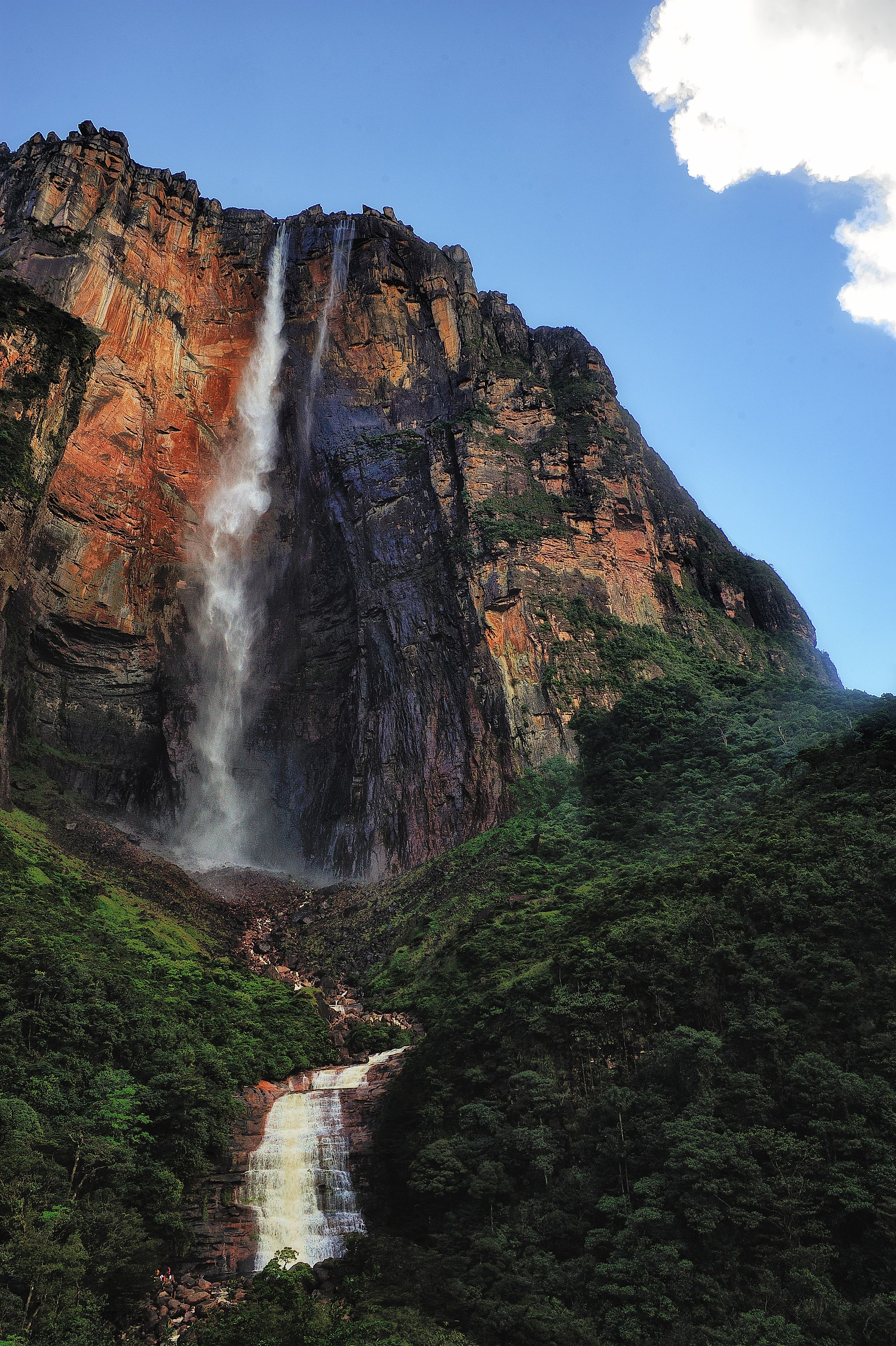 Salto ÁngelWaterfall · ~32 min drivePhoto: Paulo Capiotti, CC BY-SA 2.0 (via Wikimedia Commons)
 Salto KaruayWaterfall · ~1h 15m drivePhoto: Diego Pino Zanetti, CC BY-SA 3.0 (via Wikimedia Commons)
 Salto El SapoWaterfall · ~1h 17m drivePhoto: Stefan Freidel, CC BY 2.5 (via Wikimedia Commons)
- Salto AkareupaWaterfall · ~4 min drive
- Salto AichakWaterfall · ~9 min drive
- Salto La AvispaWaterfall · ~9 min drive
- Salto Churún MerúWaterfall · ~21 min drive
- Salto ColibríWaterfall · ~23 min drive
- Salto KamadakWaterfall · ~26 min drive
- Salto La CortinaWaterfall · ~33 min drive
Best time to visit Salto Uruyén
Best months: February–March. Best months have typical highs of 55–85 °F, lows of 30 °F or warmer (32 °F where there's no snowfall data), at most one snowy day and no more than 12 wet days.
Jan
81° / 66°
13 wet
Feb
83° / 66°
10 wet
Mar
84° / 67°
11 wet
Apr
83° / 68°
13 wet
May
81° / 68°
22 wet
Jun
80° / 67°
26 wet
Jul
79° / 66°
26 wet
Aug
81° / 66°
23 wet
Sep
82° / 67°
16 wet
Oct
82° / 67°
13 wet
Nov
81° / 67°
13 wet
Dec
81° / 67°
15 wet
Typical high / low (°F) and days with rain or snow, 1981–2010. Modelled for the 1 km square this place sits in (average height 2,188 ft), not measured at a weather station. Snowfall days aren't in this data. Source: CHELSA 1 km climate model (1981–2010) and CRU TS 4.09 wet days. Data: CHELSA V2.1 climatologies (Karger et al. 2017), WSL (CC0 1.0); CRU TS 4.09 (Harris et al. 2020), University of East Anglia Climatic Research Unit. Contains public sector information licensed under the Open Government Licence v3.0. (Open Government Licence v3.0).

Map and trail data © OpenStreetMap contributors
