Fire Box
- 1.7 mi
- distance
- 320 ft
- climb
Is Fire Box open right now?
Alert in the area
The Forest Service lists an alert for Powder River Ranger District.
Foot Creek Fire Road Closures
Agency alert covering Powder River Ranger District · Order 02-02-01-26-08 · USFS · Powder River Ranger District
As of · Source: USFS · Powder River Ranger District. Agencies don't list every closure — check before you go.
Fire Box is a mountain biking route in the Powder River Ranger District of Bighorn National Forest in Wyoming, managed by the Forest Service. The ride covers about 1.7 miles, with a high point of 7,307 feet and a low of 7,083 feet. The climb totals 320 feet, and the route also descends 446 feet, so it works as a short loop or a connector between other trails. The steepest stretch comes early, at about 0.33 miles in, with a grade of 15 percent. The start sits at 7,122 feet, and the route reaches its peak before heading back down. Cow Camp and the Fire Box Cut-Off are both within a mile, and the South Rock Creek mountain biking area is about 0.9 miles away. Hunter Campground, about 5 miles off, is the closest place to camp.
- Cow CampHiking0.6 mi
- Fire Box Cut-OffHiking0.7 mi
- South Rock CreekMountain biking0.9 mi
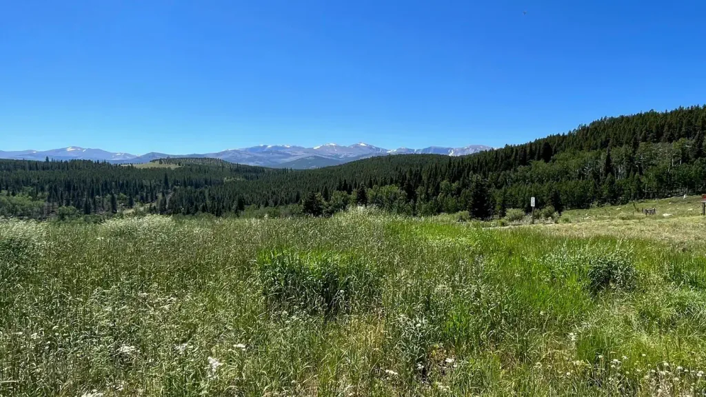 Hunter CampgroundCampingPhoto: Recreation.gov (RIDB) / public domain5 mi
 Middle ForkCampingPhoto: Recreation.gov (RIDB) / public domain7 mi
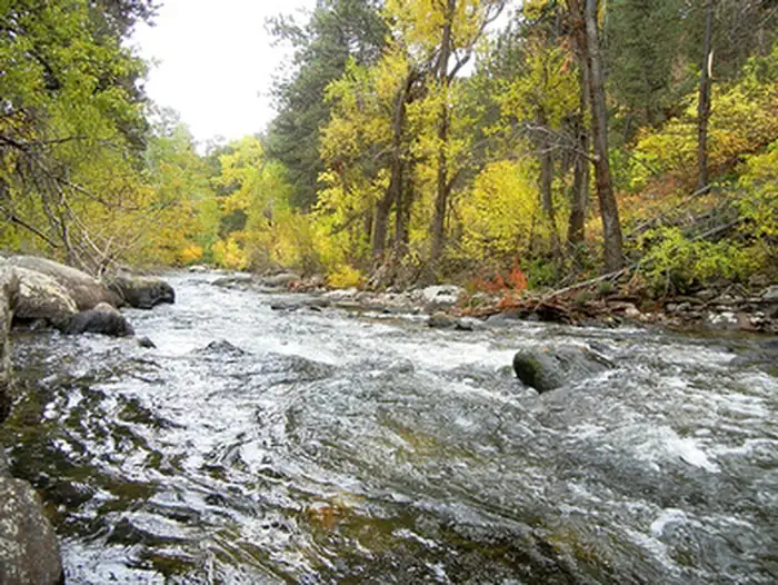 Mosier GulchRiver fishing8.2 mi
- Kearny CreekCanoeing8.5 mi
- South Fork CampgroundRock climbing8.7 mi
Source: Roamze catalog (indexable pages within 10 miles, PostGIS distance)
- Fire Box Cut-OffMountain biking · ~1 min drive
- Cow CampMountain biking · ~2 min drive
- North Sayles SpurMountain biking · ~2 min drive
- Stone Mountain Cut-OffMountain biking · ~3 min drive
- French CreekMountain biking · ~3 min drive
- Balm of GileadMountain biking · ~3 min drive
- Bear GulchMountain biking · ~4 min drive
- North Rock Creek CutoffMountain biking · ~4 min drive
- Johnson CreekMountain biking · ~4 min drive
- Middle Rock CreekMountain biking · ~5 min drive
Map and trail data © OpenStreetMap contributors
