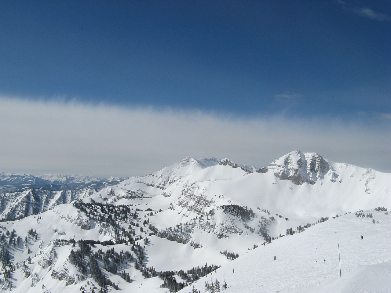
Trail Creek
Campground
Campground · 5.2 mi from the trail
No closures listed
The Forest Service lists no closures for Caribou-Targhee National Forest.
As of · Source: USFS · Caribou-Targhee National Forest. Agencies don't list every closure — check before you go.
Black Canyon Trail is a mountain biking route in the Teton Basin Ranger District of Caribou-Targhee National Forest in Wyoming, managed by the Forest Service. The trail is short, about a mile and a quarter long, and the climb runs from roughly 8,420 feet to about 8,650 feet, with a total gain of 536 feet over the round trip. That makes it a steep out-and-back, with the steepest section coming in at about 0.16 miles from the start. The trail is rated hard. Dogs are allowed. The Black Canyon hike sits just 0.1 mile away, and Fuzzy Bunny is 0.3 mile off. Trail Creek campground is about 5 miles away, and the Snake River, a fishing destination, is about 6 miles away.
Trail Creek
Campground
Flat Creek Overlook
Viewpoint
Places © OpenStreetMap contributors
More in JacksonNot on Roamze yet. Their page has how to reach them.
 Photo: Matt Berger
https://www.inaturalist.org/people/sheriff_woody_pct, CC BY 4.0 (via Wikimedia Commons)
Moose Creek
~8 min drive
A 7.2-mile Wyoming trail through scenic backcountry from Mike Harris Trailhead.
RIDE
Black Canyon Trail
Next door
0.75-mile out-and-back singletrack in Wyoming with 418 ft elevation gain, rated Difficult / Black Diamond.
Photo: Matt Berger
https://www.inaturalist.org/people/sheriff_woody_pct, CC BY 4.0 (via Wikimedia Commons)Mail Cabin
~4 min drive
A 3.5-mile trail at Mike Harris Trailhead in Wyoming's mountain biking terrain.
RIDE
Black Canyon Trail
~2 min drive
4.82-mile out-and-back singletrack in Wyoming rated Black Diamond difficulty.
Photo: Matt Berger
https://www.inaturalist.org/people/sheriff_woody_pct, CC BY 4.0 (via Wikimedia Commons)Taylor Mountain
~10 min drive
Quick 0.279-mile trail at Mike Harris Trailhead in Wyoming.
RIDE
Black Canyon Trail
~4 min drive
Black Canyon Trail is a hard singletrack trail in Wyoming.
RIDE
Fuzzy Bunny
Next door
1.33-mile out-and-back trail with 897 ft gain in Wyoming
RIDE
Black Canyon Trail
~4 min drive
0.15-mile hard singletrack in Wyoming with 3 ft elevation gain.
RIDE
Phillips Connector
~2 min drive
0.94-mile out-and-back trail in Wyoming with 386 ft elevation gain
RIDE
Powerline Jumps
~2 min drive
0.51-mile out-and-back trail with 223 ft elevation gain in Wyoming.
Map and trail data © OpenStreetMap contributors