Trail Fork #037
- 1.4 mi
- round trip
- 1,806 ft
- climb
- 10,010 ft
- high point
- Out and back
- route
Is Trail Fork #037 open right now?
No closures listed
The Forest Service lists no closures for Bridger-Teton National Forest.
As of · Source: USFS · Bridger-Teton National Forest. Agencies don't list every closure — check before you go.
Trail Fork #037 is a moderate hike in the Greys River Ranger District of Bridger-Teton National Forest in Wyoming, managed by the Forest Service. The trail is about 1.35 miles long, and the round-trip climb totals about 1,806 feet, with the steepest stretch at roughly 0.93 miles in. The route is an out-and-back that starts at about 9,215 feet and reaches a high point of about 10,010 feet. The climb is front-loaded, with the steepest grade around 37% at the beginning. That makes the first half of the hike the most demanding part. The Trail Fork hike lies about 0.1 mile away, and Corral Creek Trail #179 is about 1.8 miles off. Cottonwood Group Campsite and Cottonwood Group Picnic Site are both within about 2.4 miles, so the area works well for an overnight stay.
Local outfitters
- Greys River Cove36 mi away
- Yellowstone Trail RV Park48 mi away
Not on Roamze yet. Their page has how to reach them.
- TRAIL FORKHiking0.1 mi
- Corral Creek Trail #179Hiking1.8 mi
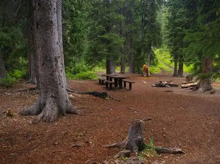 Cottonwood Group CampsiteCampingPhoto: Recreation.gov (RIDB) / public domain2.2 mi
- Cottonwood Group Picnic SiteCamping2.4 mi
- Greys RiverCanoeing6.2 mi
 Salt RiverCanoeingPhoto: Clyde Charles Brown, CC BY-SA 4.0 (via Wikimedia Commons)6.8 mi
- Swift Creek SpireRock climbing6.9 mi
- Swift Creek CanyonRock climbing7.2 mi
Source: Roamze catalog (indexable pages within 10 miles, PostGIS distance)
 SWIFT CREEKHiking · ~11 min drivePhoto: Ninjatacoshell, CC BY-SA 3.0 (via Wikimedia Commons)
- Periodic SpringHiking · ~11 min drivePhoto: Ninjatacoshell, CC BY-SA 3.0 (via Wikimedia Commons)
- North Fork Swift CreekHiking · ~12 min drivePhoto: Ninjatacoshell, CC BY-SA 3.0 (via Wikimedia Commons)
- DRY CREEK LAKEHiking · ~6 min drive
- Way Trail #079Hiking · ~5 min drive
- Swift Creek LakeHiking · ~6 min drive
- Corral Creek Trail #179Hiking · ~3 min drive
- Corral Creek TrailHiking · ~8 min drive
- Way Trail #079Hiking · ~13 min drive
- Cedar Creek RidgeHiking · ~11 min drive
Also worth it near here
Map and trail data © OpenStreetMap contributors
