Swift Creek Trail #035
- 6.1 mi
- round trip
- 3,894 ft
- climb
- 9,250 ft
- high point
- Out and back
- route
Is Swift Creek Trail #035 open right now?
No closures listed
The Forest Service lists no closures for Bridger-Teton National Forest.
As of · Source: USFS · Bridger-Teton National Forest. Agencies don't list every closure — check before you go.
Swift Creek Trail #035 is a hard, out-and-back route in Wyoming's Bridger-Teton National Forest, within the Greys River Ranger District. The trail stretches about 12 miles round trip, starting and ending at an elevation of 9,250 feet. The climb is back-loaded, with the high point of 9,250 feet at the start and a total of 3,894 feet of gain and loss over the course of the trip. The steepest part of the route comes at about 4.7 miles in, with a grade of 30%. The trail is managed by the Forest Service, and the trip is estimated to take about six hours. The route is a long, demanding one, with the bulk of the elevation change coming in the second half. Swift Creek Lake lies about a mile from the trail, and Dry Creek Lake is under a mile away. Cottonwood Group Campsite is roughly 5 miles off, and the Swift Creek Spire climbing area is about 5 miles away.
Local outfitters
- Greys River Cove33 mi away
- Yellowstone Trail RV Park47 mi away
Not on Roamze yet. Their page has how to reach them.
- DRY CREEK LAKEHiking0.9 mi
- Swift Creek LakeHiking1 mi
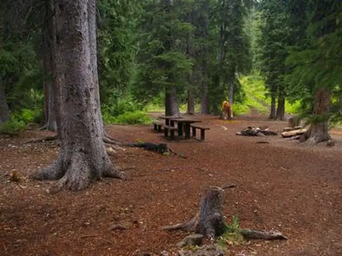 Cottonwood Group CampsiteCampingPhoto: Recreation.gov (RIDB) / public domain4.9 mi
- Cottonwood Group Picnic SiteCamping5.1 mi
- Swift Creek SpireRock climbing5.2 mi
- Swift Creek CanyonRock climbing5.3 mi
- Greys RiverCanoeing7.4 mi
 Salt RiverCanoeingPhoto: Clyde Charles Brown, CC BY-SA 4.0 (via Wikimedia Commons)8.8 mi
Source: Roamze catalog (indexable pages within 10 miles, PostGIS distance)
 SWIFT CREEKHiking · ~8 min drivePhoto: Ninjatacoshell, CC BY-SA 3.0 (via Wikimedia Commons)
- Periodic SpringHiking · ~8 min drivePhoto: Ninjatacoshell, CC BY-SA 3.0 (via Wikimedia Commons)
- North Fork Swift CreekHiking · ~9 min drivePhoto: Ninjatacoshell, CC BY-SA 3.0 (via Wikimedia Commons)
- DRY CREEK LAKEHiking · ~2 min drive
- Way Trail #079Hiking · ~6 min drive
- Swift Creek LakeHiking · ~2 min drive
- Corral Creek Trail #179Hiking · ~2 min drive
- TRAIL FORKHiking · ~5 min drive
- Way Trail #079Hiking · ~8 min drive
- Way TrailHiking · ~9 min drive
Map and trail data © OpenStreetMap contributors
