Papoose Ridge Trail
- 21.1 mi
- round trip
- 2,212 ft
- climb
- 9,220 ft
- high point
- Out and back
- route
Is Papoose Ridge Trail open right now?
Alert in the area
The Forest Service lists an alert for Shoshone National Forest.
Morrison Jeep Trail
Agency alert covering Shoshone National Forest · USFS · Shoshone National Forest
As of · Source: USFS · Shoshone National Forest. Agencies don't list every closure — check before you go.
Papoose Ridge Trail is a hard hike in the North Absaroka Wilderness, part of the Clarks Fork Ranger District of Shoshone National Forest in Wyoming. The Forest Service manages the land, and the trail is an out-and-back that climbs from about 7,985 feet to about 9,220 feet over a distance of about 21 miles, with a total elevation gain of about 2,212 feet. The trail is accessible and allows horses. Bikes are not permitted. The natural surface makes it a straightforward route for riders on foot or horseback. Several other destinations sit within a few miles. Closed Creek Trail is about 2 miles away, and Hoodoo Creek offers canoeing about 2.3 miles off. Hunter Peak campground is about 6.8 miles away, and the Absaroka Range climbing area is about 9.4 miles away.
- Closed Creek TrailHiking2.1 mi
- Hoodoo CreekCanoeing2.3 mi
- Hoodoo Cr. TrailHiking2.6 mi
- Crandall CreekCanoeing2.9 mi
- Papoose to Hoodoo TrailHiking3.1 mi
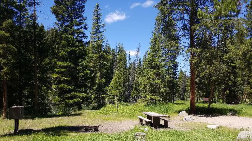 Hunter PeakCampingPhoto: Recreation.gov (RIDB) / public domain6.8 mi
- Lake Creek CampgroundCamping7.9 mi
- Absaroka RangeRock climbing9.4 mi
Source: Roamze catalog (indexable pages within 10 miles, PostGIS distance)
- Closed Creek TrailHiking · ~4 min drive
- Hoodoo Basin TrailHiking · ~15 min drive
- LOST LAKE CUTACCROSS TRAILHiking · ~19 min drive
- Clay Butte TrailHiking · ~19 min drive
- Hoodoo Cr. TrailHiking · ~4 min drive
- Bootjack Gap TrailHiking · ~19 min drive
- Clarks Fork Cuttoff TrailHiking · ~20 min drive
- Beauty Lake TrailHiking · ~22 min drive
- North Crandal TrailHiking · ~8 min drive
- Lost Lake Cut across TrailHiking · ~20 min drive

