
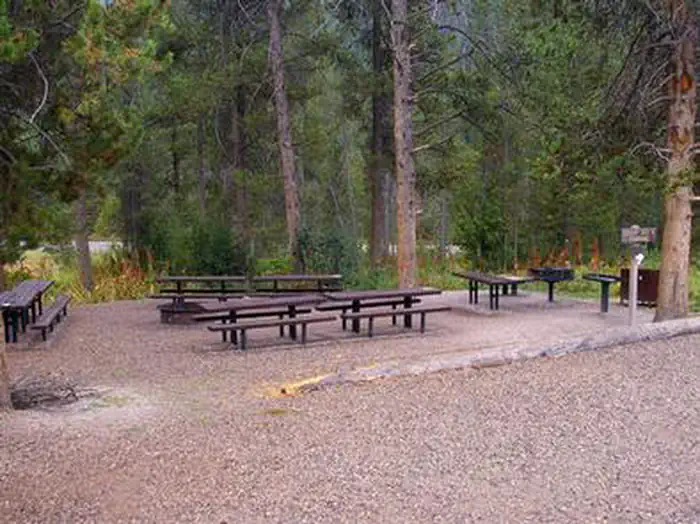
The Virginian RV Park
Hiking business nearby (~7 mi away) — hasn't claimed their Roamze page yet
Free — you'll pick up right here.
Watch this trail
Sign up to watch it — saving subscribes you to gate, closure and report changes.
Wyoming
15.6 mi
Distance
1,254 ft
Gain
5h 50m
Time
We won't guess. Here is exactly what we do and don't know.
What we do know
Inside Bridger-Teton National Forest
2 managing-area boundaries mapped — agency alerts for them feed this page automatically.
Boundary data
What's missing
No access route mapped
We don't yet know which road reaches this trailhead, so we can't tell you if it's gated.
Nobody's filed a report here yet — be the first.
Why you'll love it
Munger Mountain
AI-suggested draft · review before you go
No permit or access details on file for this trail — check with the local land manager before you go.
Munger Mountain is a 7.8-mile out-and-back trail located in Wyoming. The route offers hikers a straightforward path with a turnaround point at the summit or destination. This out-and-back format means you'll retrace your steps on the return journey, making it easy to plan your hiking day. The total distance of 7.8 miles breaks down to approximately 3.9 miles each way, giving hikers flexibility to turn back early if desired. The trail provides a solid day hike option for those exploring Wyoming's outdoor recreation opportunities. Whether you're a local or visiting the region, this route offers a manageable distance for various skill levels. Plan to bring plenty of water and check current trail conditions before heading out. The Wyoming weather can change quickly, so dress in layers and bring a map or GPS device for navigation. Given the out-and-back nature of the trail, you'll have clear direction finding on both the ascent and descent.

North Fork Fall Creek
~6 min drive
5.8 mi · Moderate

Wilson Canyon
~8 min drive
12 mi · Hard
A and W Trail
~8 min drive
1.1 mi · Easy

South Fork Leeks Canyon
~11 min drive
3.5 mi · Moderate

Game Creek
~9 min drive
12 mi · Hard

Kellys Trail
~12 min drive
1.4 mi · Easy
Sink or Swim
~12 min drive
4.5 mi · Moderate
Skyline Tr
~13 min drive
12 mi · Hard
Kc Trail
~12 min drive
2.0 mi · Easy
Josies Ridge
~12 min drive
4.5 mi · Moderate
Local operatorsoffering guided trips. You book directly with them — Roamze doesn’t take a cut.
The Virginian RV Park
Hiking business nearby (~7 mi away) — hasn't claimed their Roamze page yet
Greys River Cove
Hiking business nearby (~17 mi away) — hasn't claimed their Roamze page yet