Loading…

Lamar River Bridge
Free — you'll pick up right here.
Watch this trail
Sign up to watch it — saving subscribes you to gate, closure and report changes.
Wyoming
We won't guess. Here is exactly what we do and don't know.
What we do know
Inside Yellowstone National Park
National Park unit boundary is mapped — agency alerts for it feed this page automatically.
Boundary data
What's missing
No access route mapped
We don't yet know which road reaches this trailhead, so we can't tell you if it's gated.
Nobody's filed a report here yet — be the first.
Lamar River Bridge
AI-suggested draft · review before you go
No elevation data on file for this trail.
At first, travel to and within the park was difficult. Visitors had to transport themselves or pay a costly transportation company. In the park, there were only a few places for food and lodging. Access improved in 1883 when the Northern Pacific Railroad reached Cinnabar, Montana, a town near the North Entrance. Wagons to Automobiles After checking into the hotel, they toured the hot springs. For the next four days, they bounced along in passenger coaches called “Yellowstone wagons,” which had to be unloaded at steep grades. Each night visitors enjoyed a warm bed and a lavish meal at a grand hotel. These visitors carried home unforgettable memories of experiences and sights, and they wrote hundreds of accounts of their trips. They recommended the tour to their friends, and each year more came to Yellowstone to see its wonders. When the first automobile entered in 1915, Yellowstone truly became a national park, accessible to anyone who could afford a car. Expect Travel Hazards and Delays Drive cautiously and defensively. Allow time for road congestion. Do not stop on or block a road. Use pullouts; stay in your car to watch animals. You are responsible for your safety. Think Safety, Act Safely. Yellowstone is a Dangerous Place.
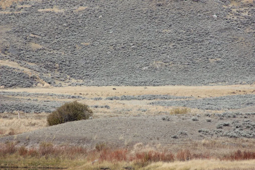
Slough Creek Campground Entrance Vault Toilet
~1 min drive
A worthwhile stop near Wyoming.
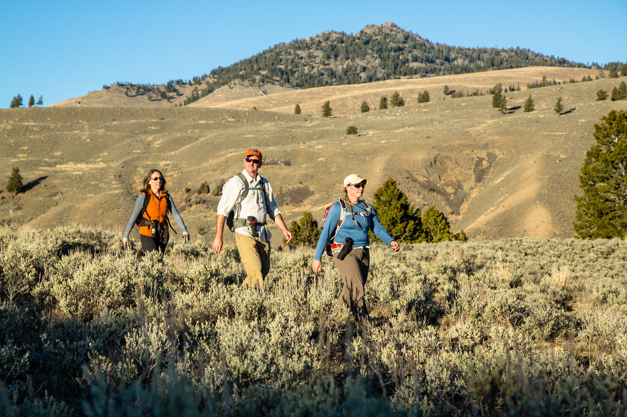
Garnet Hill Loop Trailhead (2K2)
~8 min drive
Situated in Pleasant Valley near Tower Junction, this trailhead provides access to the following trail: Garnet Hill Loop Trail There is very limited parking at this trailhead. However, a large parking lot is located at the Tower Junction Trailhead just to the south. Garnet…
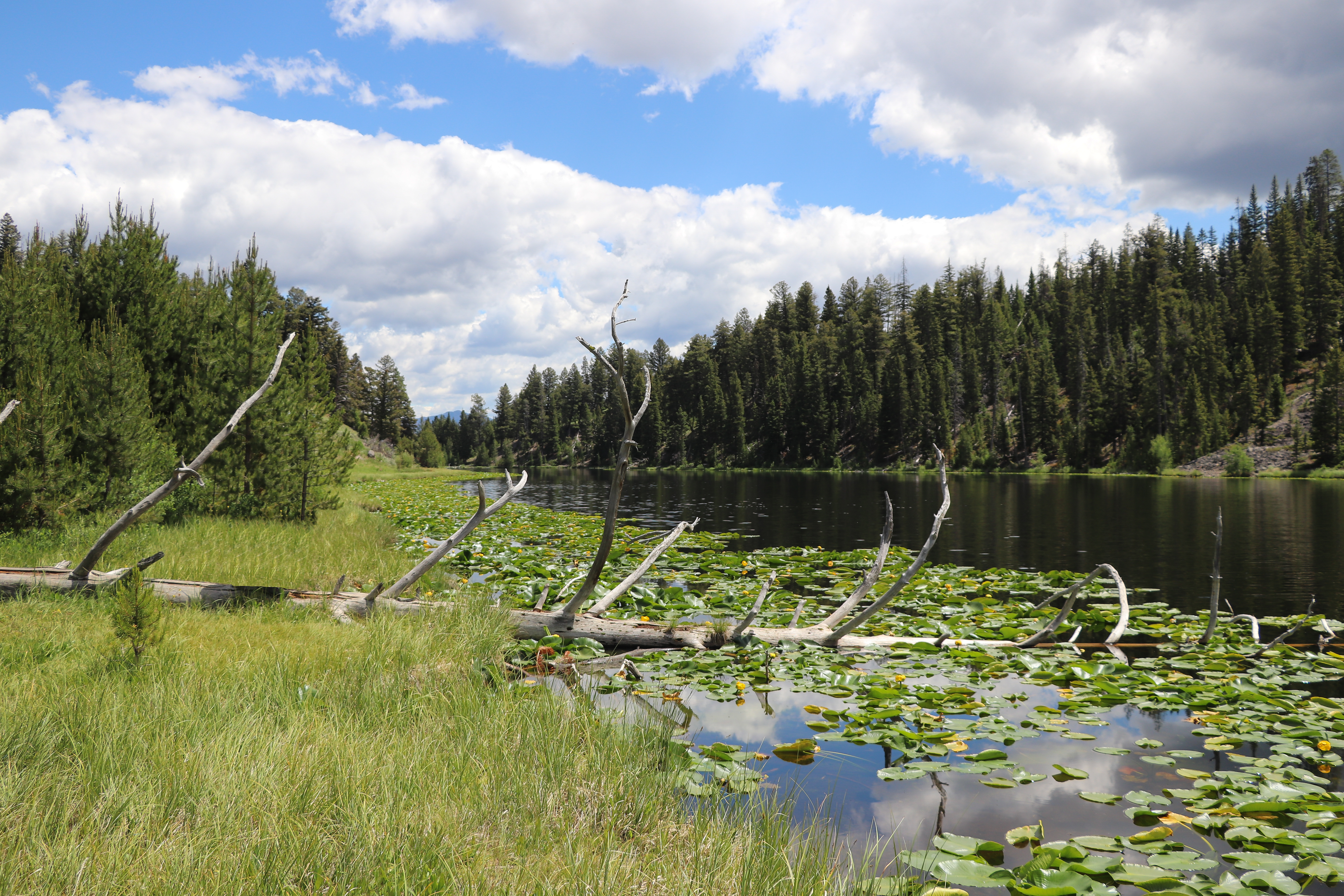
Lost Lake Loop
~8 min drive
Round trip 2.8 miles (4.6 km), moderate. The trail climbs 300 feet up a forested hillside. At the junction, veer right (west). You reach Lost Lake in 0.2 miles (0.3 km). From there, follow the trail through a ravine to the Petrified Tree parking area. From the parking lot, th…
Poacher
~16 min drive
Moderate 13.23-mile backcountry trail with 1,855 ft elevation gain.
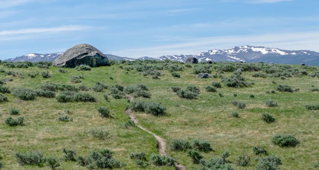
Lamar Valley - Evidence of Glaciers
~5 min drive
<p>Glaciers result when, for a period of years, more snow falls in an area than melts.</p> <p>Once the snow reaches a certain depth, it turns into ice and begins to move under the force of gravity or the pressure of its own weight.</p> <p>During this movement, rocks are picked…

Lost Lake
~9 min drive
6.6 mi · Moderate
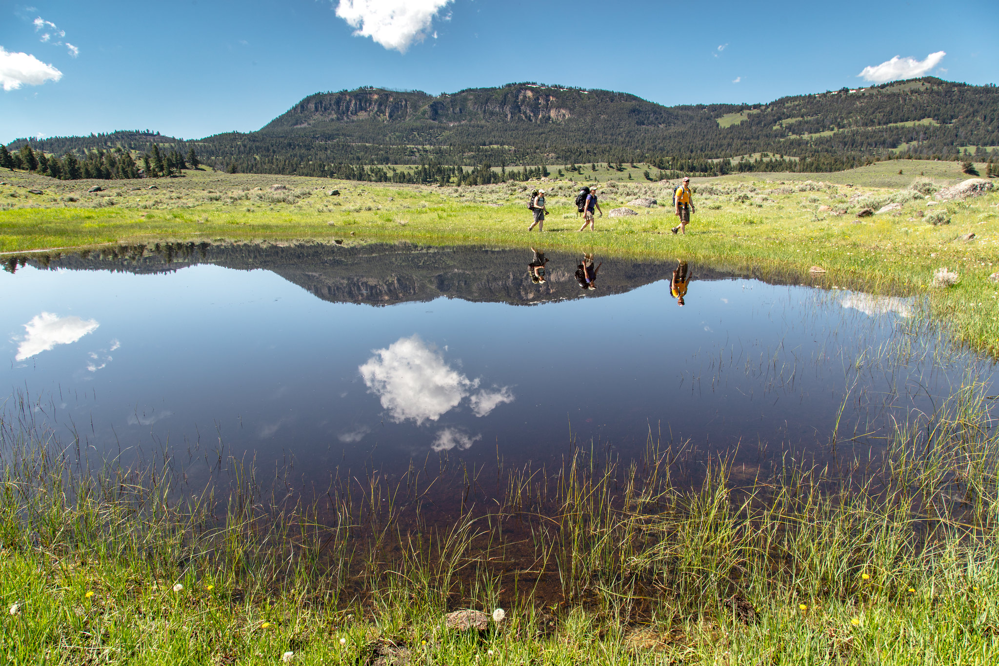
Hellroaring Trailhead (2K8)
~11 min drive
Nestled a 1/4-mile (0.4-km) off the Grand Loop Road, this trailhead provides access to the following trails: Buffalo Plateau Trail Coyote Creek Trail Garnet Hill Loop Trail Hellroaring Creek Trail There is a decent amount of parking at the trailhead. Buffalo Plateau Trai…
Telephone Basin
~20 min drive
Remote 18-mile alpine basin trek with 2,185 ft elevation gain.
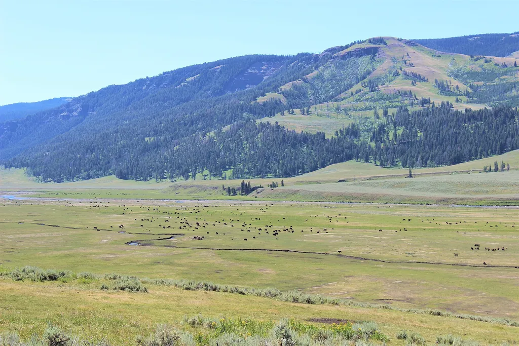
Lamar Valley - Predators and Prey
~6 min drive
<p>Wolves eat a wide variety of prey, large and small. They efficiently hunt large prey that other predators cannot usually kill.</p> <p>In Yellowstone, 90% of their winter prey is elk. In the summer, 10 to 15% of their summer prey is deer. They also can kill bison.</p> <p>Man…

Dunraven Pass - Mount Washburn Trail
~19 min drive
7.0 mi · Moderate