

The Virginian RV Park
Hiking business nearby (~11 mi away) — hasn't claimed their Roamze page yet
Free — you'll pick up right here.
Watch this trail
Sign up to watch it — saving subscribes you to gate, closure and report changes.
Wyoming
2.0 mi
Distance
47 ft
Gain
41 min
Time
We won't guess. Here is exactly what we do and don't know.
What we do know
Inside Grand Teton National Park
National Park unit boundary is mapped — agency alerts for it feed this page automatically.
Boundary data
What's missing
No access route mapped
We don't yet know which road reaches this trailhead, so we can't tell you if it's gated.
Nobody's filed a report here yet — be the first.
Why you'll love it
Lake Creek Overlook
AI-suggested draft · review before you go
Lake Creek flows south from Phelps Lake as a clear mountain stream. Early season the stream is high and cold with snowmelt. As summer days warm, the flow diminishes but is still shockingly cold! Visitors of all abilities may reach this picturesque spot. You may notice the brownish yellow or white mats clinging to the rocks in the water. This algae bloom, called "didymo" or "rock snot," has spread quickly in the Lake Creek drainage as visitors inadvertently transported the algae from another place. Help stop the spread! Clean-Drain-Dry your gear before and after visiting a new waterway.

Aspen Ridge Trail
~2 min drive
5.4 mi · Easy
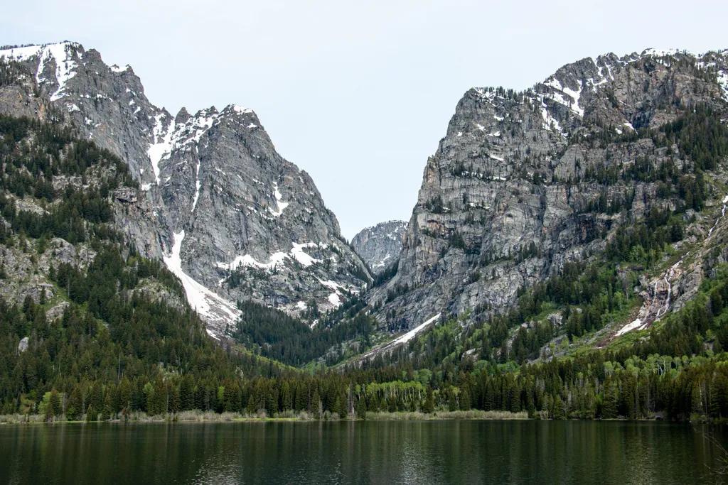
Death Canyon Trailhead
~4 min drive
<p><b>Location:</b> Access the Death Canyon trailhead from the Moose-Wilson Road. Travel three miles south from Moose and turn north on a spur road. The last mile leading to the trailhead is a narrow, rough dirt road recommended for high-clearance vehicles.<br /> <br /> <b>Not…

Valley Trail
~4 min drive
31 mi · Hard
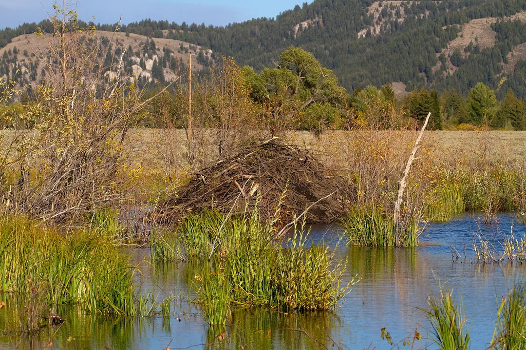
Murie Homestead Cabin
~5 min drive
<p>In 1945, the Muries bought the STS Ranch, with Adolph and Louise living in the original building now known as the Homestead. In 1926, the Murie brothers began their master's degree programs at the University of Michigan in the young science of ecology. While Olaus' studies…
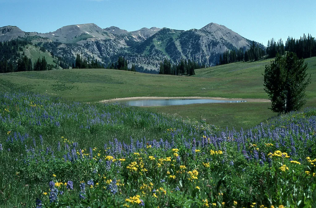
Granite Canyon Trailhead
~3 min drive
<p><b>Location:</b> Access the Granite Canyon Trailhead one mile north of the Granite Entrance Station on the Moose-Wilson Road. The road is not accessible to vehicles over 23.3 feet long or trailers. The parking lot is small so arrive early in the day to secure your space.<br…

Taggart Lake Trail
~9 min drive
7.3 mi · Moderate
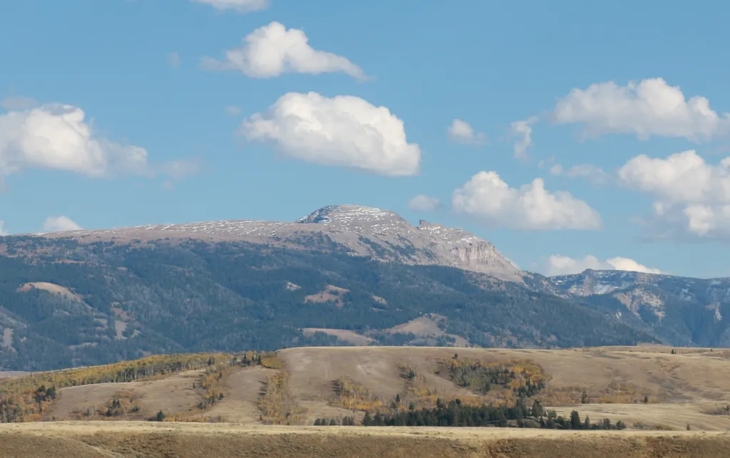
Sleeping Indian Turnout
~5 min drive
<p>Sleeping Indian turnout along US Highway 89/26/191 gives you sweeping views of both the Teton and Gros Ventre Range. The Gros Ventre Mountains—impressive in their own right—surround the southeast portion of the valley. One peak in the range stands out prominently. Nicknamed…
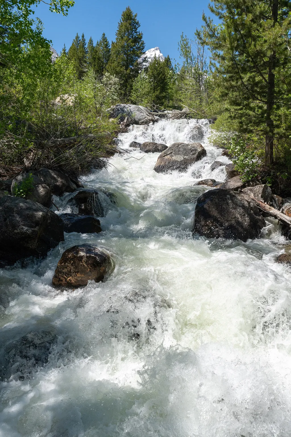
Taggart Lake Trailhead
~9 min drive
<p><b>Location:</b> Access the Taggart Lake trailhead from the Teton Park Road three and a half miles northwest from Moose Junction.<br /> <br /> <b>Notes:</b> Visitor services include a modest-sized parking lot, a vault toilet, map brochure box, bike rack and a trailhead sign…
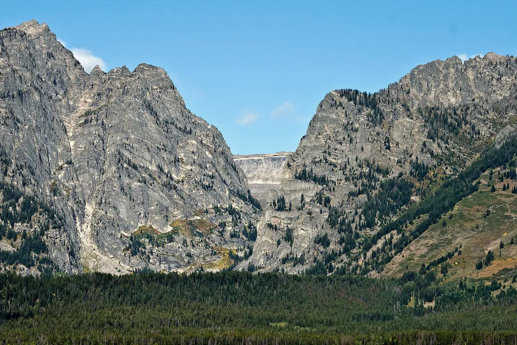
Albright View Turnout
~5 min drive
<p>Albright turnout is one of many scenic viewpoints along the highway through the park. Use turnouts like this one to take photos and enjoy wildlife safely. Do not stop along the road on the main highway to keep you and other visitors safe. Although the Teton Range dominates…
Cottonwood Creek Overlook
~9 min drive
<p>A popular fall photograph captures the Jimmy Manges cabin, the park stock used by the summer trial crew, the aspens turning golden and the Grand Teton towering above. A corral is a classic buck and rail fence used by the early homesteaders. Enjoy the view of the horses and…
Local operatorsoffering guided trips. You book directly with them — Roamze doesn’t take a cut.
The Virginian RV Park
Hiking business nearby (~11 mi away) — hasn't claimed their Roamze page yet
Greys River Cove
Hiking business nearby (~34 mi away) — hasn't claimed their Roamze page yet