

The Virginian RV Park
Hiking business nearby (~13 mi away) — hasn't claimed their Roamze page yet
Kelly Post Office
Free — you'll pick up right here.
Watch this trail
Sign up to watch it — saving subscribes you to gate, closure and report changes.
Wyoming
We won't guess. Here is exactly what we do and don't know.
What we do know
Inside Grand Teton National Park
National Park unit boundary is mapped — agency alerts for it feed this page automatically.
Boundary data
What's missing
No access route mapped
We don't yet know which road reaches this trailhead, so we can't tell you if it's gated.
Nobody's filed a report here yet — be the first.
Kelly Post Office
AI-suggested draft · review before you go
No elevation data on file for this trail.
The Kelly Post Office in the southeastern part of the park offers most postal services, but with limited hours. For hours and addtional information check the Kelly Post Office web page. Name Origin Founded by William Kelly when he built a sawmill in 1907. The town was nearly voted the county seat for Teton County in 1925. That same year a massive landslide dammed the Gros Ventre River forming Lower Slide Lake. Two years later the natural dam failed, flooding the town and killing six people. Only two buildings remained standing.
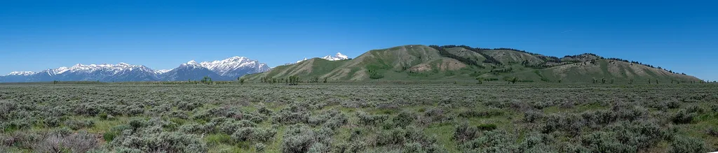
Gros Ventre Amphitheater
~3 min drive
<p>Enjoy an program at the Gros Ventre Amphitheater. This open-air facility provides a fantastic setting for ranger-led evening programs during the summer. Special programs also occur throughout the season. Check at a visitor center for a current schedule of events.</p>

Turpin Creek
~6 min drive
3.4 mi · Moderate
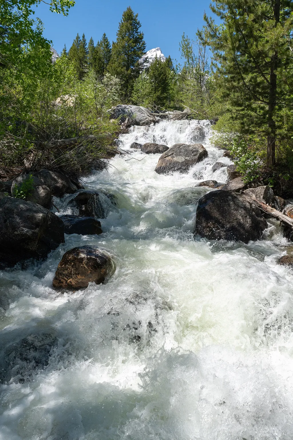
Taggart Lake Trailhead
~12 min drive
<p><b>Location:</b> Access the Taggart Lake trailhead from the Teton Park Road three and a half miles northwest from Moose Junction.<br /> <br /> <b>Notes:</b> Visitor services include a modest-sized parking lot, a vault toilet, map brochure box, bike rack and a trailhead sign…
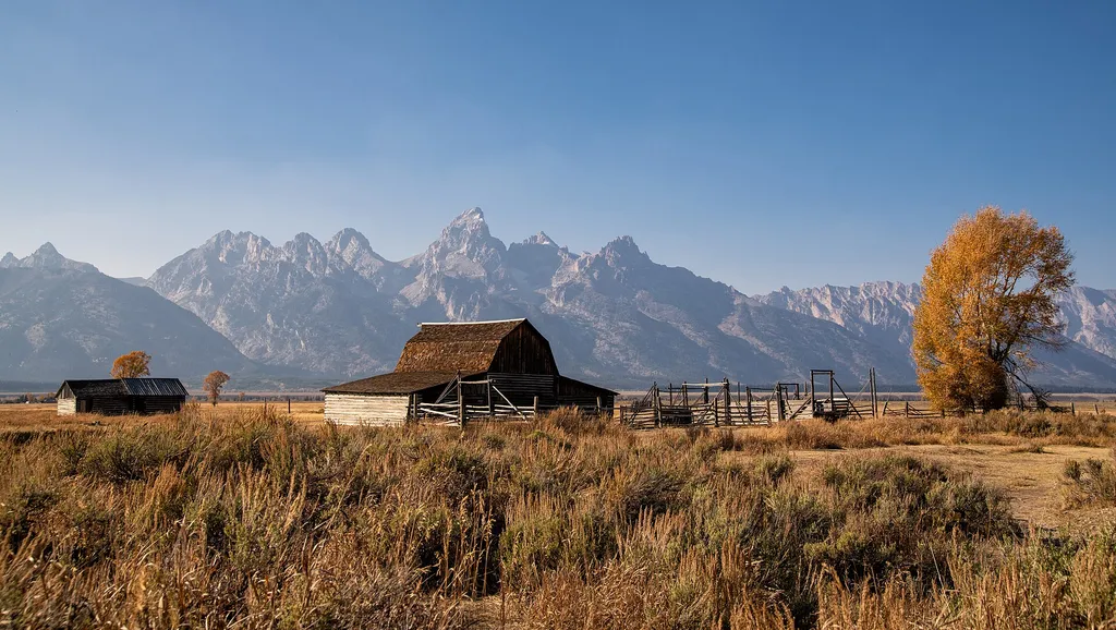
Thomas Murphy Homestead
~6 min drive
<p>The northernmost homestead on Mormon Row--the Thomas Murphy homestead boasts a gray stucco house, a large barn and several smaller buildings. Like many other early settlers on Mormon Row, Murphy laid claim to his land in 1908 and gained title in 1915.</p>
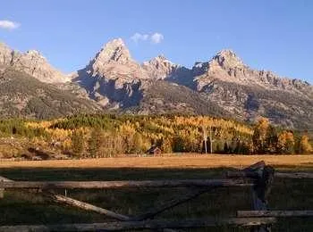
Cottonwood Creek Overlook
~12 min drive
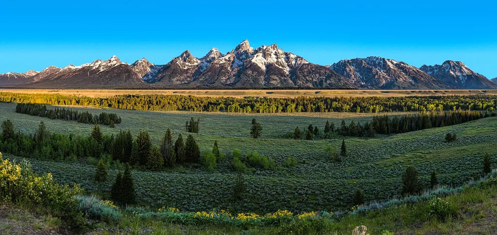
<p>A popular fall photograph captures the Jimmy Manges cabin, the park stock used by the summer trial crew, the aspens turning golden and the Grand Teton towering above. A corral is a classic buck and rail fence used by the early homesteaders. Enjoy the view of the horses and…
Blacktail Butte Trailhead
~7 min drive
<p><b>Location:</b> Access the Blacktail Butte Trailhead from US 26/89/191. The parking lot is one mile north of Moose Junction on the east side of the highway.<br /> <br /> <b>Notes:</b> There are no facilities at this trailhead-remember to bring water and use a restroom befo…
Ditch Creek Pathway Access
~7 min drive
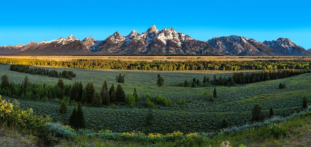
<p>The pathway section from Moose Junction to the Antelope Flats Road is the most recent addition to the multi-use pathway system. This section allows bicyclists to complete a loop on the secondary roads from Antelope Flats to Kelly and return to Gros Ventre Junction without r…
Albright View Turnout
~8 min drive
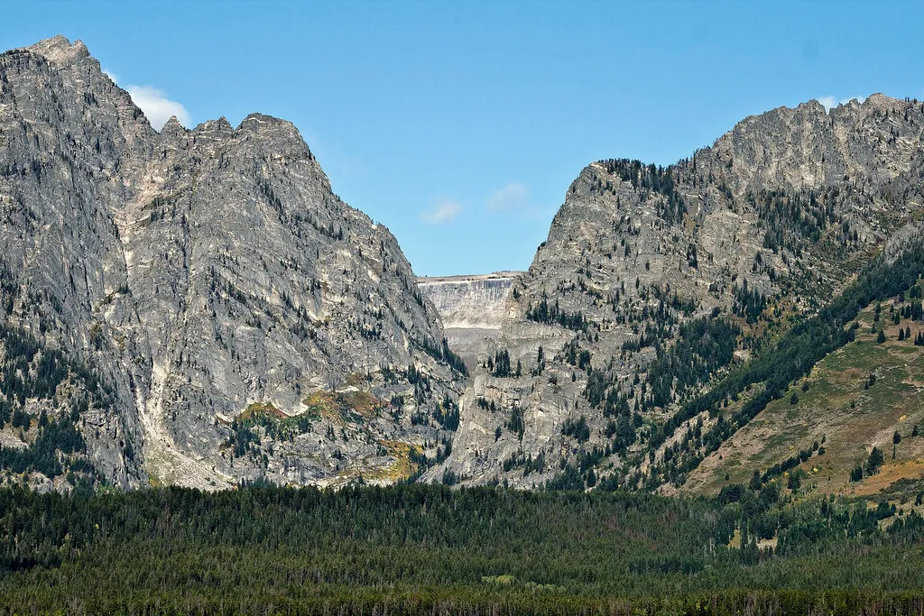
<p>Albright turnout is one of many scenic viewpoints along the highway through the park. Use turnouts like this one to take photos and enjoy wildlife safely. Do not stop along the road on the main highway to keep you and other visitors safe. Although the Teton Range dominates…
Sleeping Indian Turnout
~8 min drive
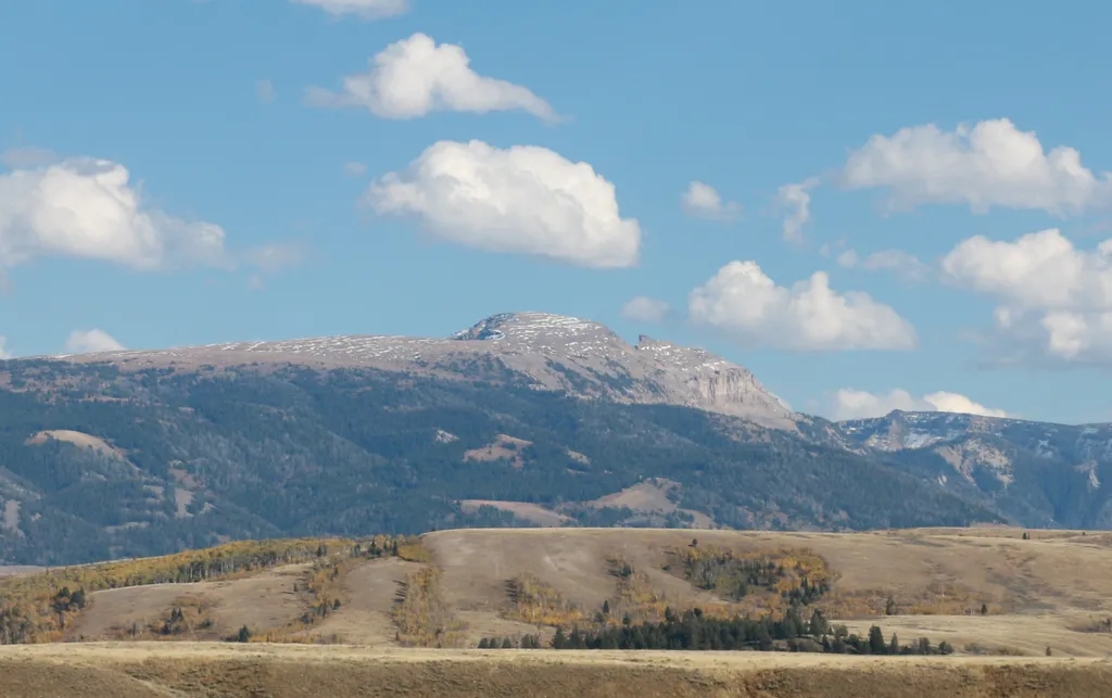
<p>Sleeping Indian turnout along US Highway 89/26/191 gives you sweeping views of both the Teton and Gros Ventre Range. The Gros Ventre Mountains—impressive in their own right—surround the southeast portion of the valley. One peak in the range stands out prominently. Nicknamed…

Glacier View Turnout
~9 min drive
<p>Across the valley, the Teton Range rises abruptly from the valley with no foothills to obscure your view. Glaciers lie sheltered on the northeastern flanks of the highest peaks including the Middle Teton and Teton glaciers. Climate change is causing these glaciers to retrea…
Local operatorsoffering guided trips. You book directly with them — Roamze doesn’t take a cut.
The Virginian RV Park
Hiking business nearby (~13 mi away) — hasn't claimed their Roamze page yet
Greys River Cove
Hiking business nearby (~37 mi away) — hasn't claimed their Roamze page yet