Loading…

Free — you'll pick up right here.
Watch this trail
Sign up to watch it — saving subscribes you to gate, closure and report changes.
Wyoming
2.0 mi
Distance
56 ft
Gain
41 min
Time
We won't guess. Here is exactly what we do and don't know.
What we do know
Inside Medicine Bow-Routt National Forest
2 managing-area boundaries mapped — agency alerts for them feed this page automatically.
Boundary data
What's missing
No access route mapped
We don't yet know which road reaches this trailhead, so we can't tell you if it's gated.
Nobody's filed a report here yet — be the first.
Why you'll love it
East Duck Creek
AI-suggested draft · review before you go
No permit or access details on file for this trail — check with the local land manager before you go.
East Duck Creek is a 2.0-mile out-and-back trail located in Wyoming. This straightforward route offers an accessible option for hikers seeking a moderate day hike in the region. The trail follows Duck Creek, providing riparian scenery typical of Wyoming's creek corridors. The out-and-back format means hikers will retrace their steps on the return journey, making distance planning simple and predictable. The trail is well-suited for those looking to enjoy a shorter outing without committing to a full-day expedition. Its relatively modest mileage makes it an option for families, beginners, or anyone preferring a quick hike. The creek setting offers opportunities to observe local wildlife and vegetation adapted to water-adjacent environments. Hikers should prepare with standard day-hike essentials including water, sun protection, and appropriate footwear for creek-side terrain. Weather conditions in Wyoming can change rapidly, so checking forecasts before heading out is recommended. The trail provides a straightforward way to experience Wyoming's natural landscape without requiring extensive route-finding skills.

Joyner Ridge Trail
~43 min drive
1.5 mi · Easy
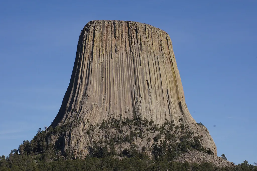
Joyner Ridge
~43 min drive
<p lang="EN-US" paraeid="{287ac1e3-519d-4639-843a-5c7babcf517c}{163}" paraid="802754861" xml:lang="EN-US">Joyner Ridge is one of the quietest, yet most scenic, places in Devils Tower National Monument. Set to the north of the Tower, Joyner Ridge offers brilliant views of the T…

Snow-F1
~1h 9m drive
5.0 mi · Moderate

Snow-K
~1h 11m drive
9.6 mi · Hard

Tower Trail
~44 min drive
2.8 mi · Easy
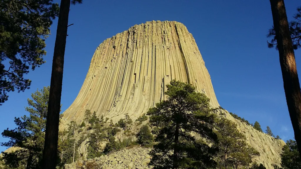
Climbing Kiosk (Devils Tower National Monument)
~44 min drive
<p paraeid="{5e58ad13-a6b2-40a6-98db-abc065b82bb7}{23}" paraid="1282916875">Register to rock climb at the climbing kiosk. The kiosk is located in the visitor center hub near the start of the <a href="https://www.nps.gov/thingstodo/deto-tower-trail-walk.htm">Tower Trail</a>. An…
Sundance Sheepnose Mountain
~1h 13m drive
4.5 mi · Moderate
Snow-B-North
~1h 11m drive
13 mi · Hard
Red Beds Trail
~44 min drive
2.9 mi · Easy
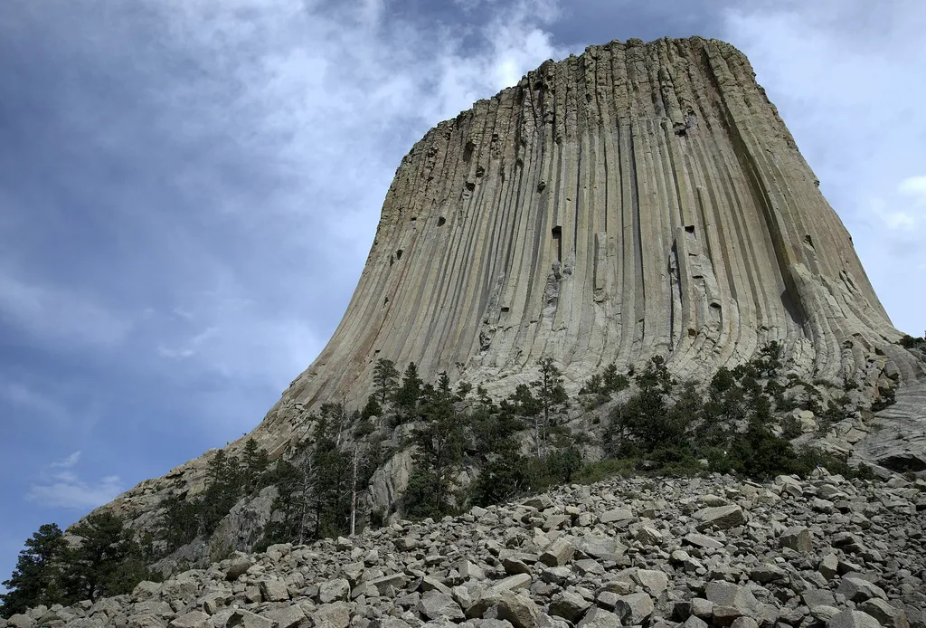
Devils Tower Boulder Field
~44 min drive
<p paraeid="{fc5c9f79-92b8-441a-94e1-4cf376bcbde1}{173}" paraid="827932320">As the first stop on the Tower Trail, the boulder field is the first close-up impression you get of Devils Tower. From the trail, the Tower appears perched atop this giant pile of boulders. Cracks in t…
