Loading…

Free — you'll pick up right here.
Watch this trail
Sign up to watch it — saving subscribes you to gate, closure and report changes.
Wyoming
9.2 mi
Distance
2,424 ft
Gain
4h 16m
Time
We won't guess. Here is exactly what we do and don't know.
What we do know
Inside Bighorn National Forest
2 managing-area boundaries mapped — agency alerts for them feed this page automatically.
Boundary data
What's missing
No access route mapped
We don't yet know which road reaches this trailhead, so we can't tell you if it's gated.
Nobody's filed a report here yet — be the first.
Why you'll love it
Dry Horse Trail
AI-suggested draft · review before you go
No permit or access details on file for this trail — check with the local land manager before you go.
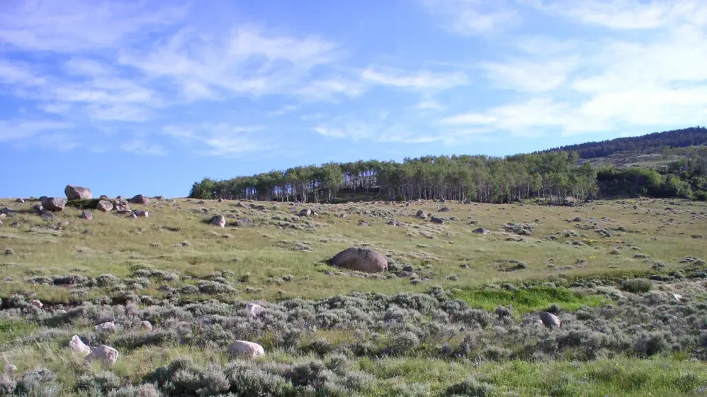
Dry Horse Trail is a 4.6-mile out-and-back hike located in Wyoming. This trail offers hikers an accessible route through the region's landscape, making it suitable for those seeking a moderate-distance day hike. The out-and-back format means hikers will retrace their steps after reaching the turnaround point, covering approximately 2.3 miles in each direction. The trail is situated in the scenic Wyoming area and provides an opportunity to explore the local terrain and natural features. Whether you're looking for a relatively quick outing or a straightforward hiking experience without navigation complications, Dry Horse Trail delivers a familiar route structure that's easy to plan. The specific elevation gain for this trail has not been documented, so hikers should be prepared for variable terrain. Before heading out, check current trail conditions and bring adequate water and supplies for the full 4.6-mile journey. This trail is ideal for hikers wanting a no-fuss day hike in Wyoming's outdoor landscape.

Cedar Creek
~9 min drive
11 mi · Hard

Prune Creek
~29 min drive
1.4 mi · Easy

Tillets Hole
~31 min drive
3.6 mi · Moderate
East Beaver
~15 min drive
6.2 mi · Hard

Dry Fork Ridge
~33 min drive
2.9 mi · Easy
Grouse Creek
~8 min drive
2.9 mi · Moderate
West Pass Stock
~35 min drive
8.9 mi · Hard
Dry Horse Trail
~5 min drive
4.9 mi · Easy
West Fork
~21 min drive
3.8 mi · Moderate
Elkhorn Trail
~5 min drive
16 mi · Hard