Laramie Peak Area
- May–Sep
- best months
Is Laramie Peak Area open right now?
Alert in the area
The Forest Service lists 3 alerts for Medicine Bow-Routt National Forest.
Access Impact: Big Creek Lakes Dam Project
Agency alert covering Medicine Bow-Routt National Forest · USFS · Medicine Bow-Routt National Forest
Trail & Access Impact: Stillwater Reservoir Project
Agency alert covering Medicine Bow-Routt National Forest · USFS · Medicine Bow-Routt National Forest
Snowy Range - 2026 Active Vegetation Operations
Agency alert covering Medicine Bow-Routt National Forest · USFS · Medicine Bow-Routt National Forest
As of · Source: USFS · Medicine Bow-Routt National Forest. Agencies don't list every closure — check before you go.
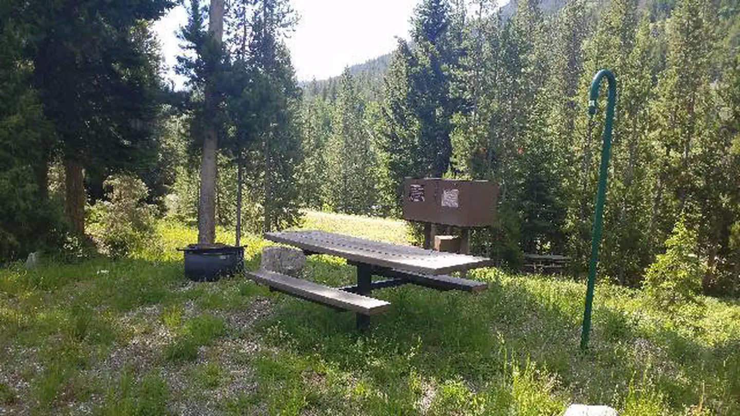
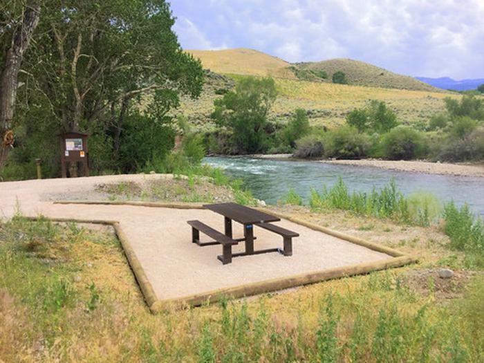
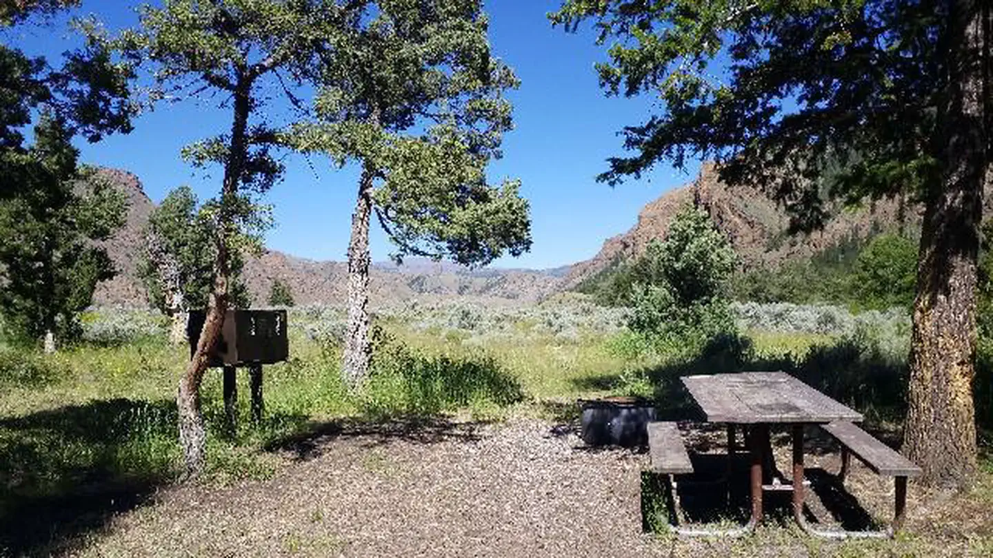
The Laramie Peak area is located in east central Wyoming, stretching from southeast of Casper to west of Wheatland. This portion of the Medicine Bow National Forest is part of the Laramie Range and is dominated by the jagged 10,274 foot crest of Laramie Peak. The Laramie Peak area is managed by the Douglas Ranger District.With nearly 180,000 acres on the Medicine Bow National Forest, the Laramie Peak area offers many public uses and recreation opportunities such as hunting, fishing, hiking, OHV riding, and many others.From I25 at Douglas or Glendo, expect to drive one hour just to get to the National Forest boundary and another half hour to an hour to get where you are headed.Dispersed Camping is allowed on all Forest Service Land in the Laramie Peak Unit, the restrictions are on motor vehicle parking and road access. The Motor Vehicle Use Map (MVUM) identifies what roads are open to the public. From there, you can camp along open roads and trails, parking 1 to 2 car lengths from the road and in selected areas up to 300' from the road (see MVUM) and in either case, you cannot cause habitat damage. After the Campgrounds close (Esterbrook, Friend Park, Curtis Gulch and Campbell Creek), they can be used for dispersed camping. The vault toilet will be open but water and trash services are not available. Please pack in and pack out, limit stays to 14 days and bear in mind that many of the county roads have limited maintenance from November to May.
 Friend Park CampgroundCampingPhoto: wusel007, CC BY-SA 3.0 (via Wikimedia Commons)0.1 mi
- LARAMIE PEAK TRAILHiking0.1 mi
- Friend Park Campground TrailHiking0.6 mi
- Laramie Peak RegionRock climbing1.1 mi
- Friend Creek Pinnacle RegionRock climbing1.4 mi
- Friend Park TrailHiking2.5 mi
 North Laramie RiverCanoeingPhoto: Wusel007, CC BY-SA 3.0 (via Wikimedia Commons)7.2 mi
- Krumbling TowersRock climbing8.5 mi
Source: Roamze catalog (indexable pages within 10 miles, PostGIS distance)
- Bar M Number 3 ReservoirLake fishing · ~16 min drive
- Toltec ReservoirLake fishing · ~21 min drive
- Saddleback ReservoirLake fishing · ~34 min drive
- Poison LakeLake fishing · ~40 min drive
- Festo LakeLake fishing · ~48 min drive
- Big Charlie LakesLake fishing · ~48 min drive
- Badger LakeLake fishing · ~49 min drive
- Post LakeLake fishing · ~49 min drive
- McGill LakesLake fishing · ~52 min drive
- Douglas Ranger DistrictLake fishing · ~59 min drive
Best time to visit Laramie Peak Area
Best months: May–September. Best months have typical highs of 55–85 °F, lows of 30 °F or warmer (32 °F where the station doesn't record snow), at most one snowy day and no more than 12 wet days.
Jan
38° / 17°
4 wet
Feb
40° / 16°
5 wet
Mar
49° / 22°
6 wet
Apr
55° / 28°
8 wet
May
64° / 35°
10 wet
Jun
76° / 42°
10 wet
Jul
84° / 48°
8 wet
Aug
82° / 46°
7 wet
Sep
74° / 38°
5 wet
Oct
60° / 29°
5 wet
Nov
47° / 22°
4 wet
Dec
37° / 16°
4 wet
Typical high / low (°F) and days with rain or snow, 1991–2020. Measured at Double Four Rch, WY, 6.8 mi away at 6,120 ft. The station sits about 1,400 ft lower than this place, so expect it a little cooler here. This station doesn't record snowfall. Source: NOAA NCEI U.S. Climate Normals 1991–2020.