Upper Cache Creek
- 12
- sites
- Yes
- fee
- Jul–Aug
- best months
Is Upper Cache Creek open right now?
Closure in the area
There's a closure order in Yellowstone National Park. It doesn't name Upper Cache Creek, so check the source for the area it covers (2 listed).
Most Park Roads Closed to All Vehicles
Park closure covering Yellowstone National Park · NPS · Yellowstone National Park
Biscuit Basin Closed Due to Hydrothermal Explosion
Park closure covering Yellowstone National Park · NPS · Yellowstone National Park
As of · Source: NPS · Yellowstone National Park. Agencies don't list every closure — check before you go.
- 12 sites for tent campingReservable on Recreation.gov
- At 7,832 ft
- Yellowstone National Park
Upper Cache Creek is a campground in Wyoming at about 7,832 feet, with 12 sites. It is managed by the National Park Service.
Local outfitters
- Tiny Town Campground47 mi away
Not on Roamze yet. Their page has how to reach them.
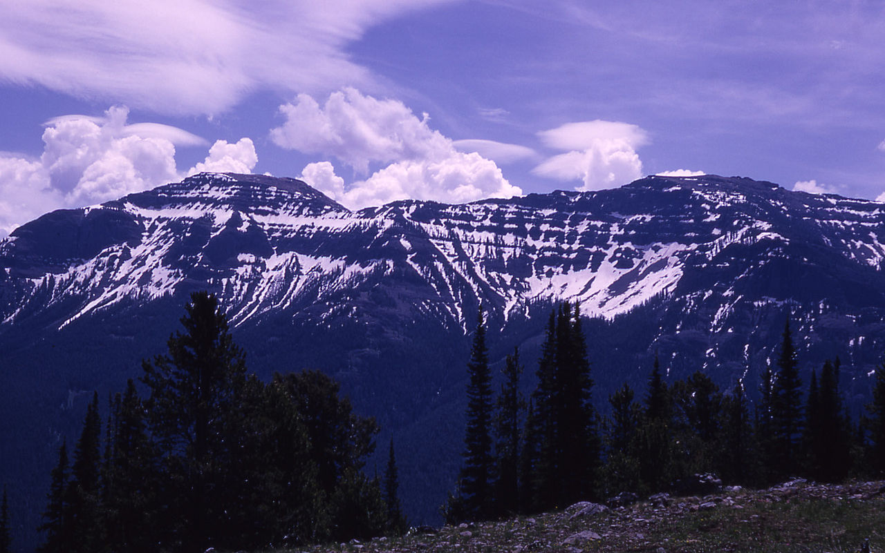 The ThundererSummitPhoto: RG Johnsson, Public domain (via Wikimedia Commons)2.9 mi
 Abiathar PeakSummitPhoto: Mike Cline, Public domain (via Wikimedia Commons)3.8 mi
- Eye of the NeedleNatural arch4.1 mi
- Barronette Ski TrailSki touring4.1 mi
- Cache CreekCanoeing4.2 mi
 Thunderer Cutoff TrailHikingPhoto: Greg Willis, CC BY-SA 3.0 (via Wikimedia Commons)4.5 mi
- Pilot CreekCanoeing7.2 mi
- Soda Butte CampgroundCamping8.3 mi
Source: Roamze catalog (indexable pages within 10 miles, PostGIS distance)
 Pebble Creek CampgroundCamping · ~9 min drivePhoto: Yellowstone National Park from Yellowstone NP, USA, Public domain (via Wikimedia Commons)
- Lower Cache CreekCamping · ~10 min drive
- Upper Pebble Creek FordCamping · ~12 min drive
- Pebble CreekCamping · ~12 min drive
- Republic Lot-001Camping · ~13 min drive
- Republic Lot-002Camping · ~13 min drive
- Bliss Pass JctCamping · ~13 min drive
- Woody-003Camping · ~13 min drive
- Woody-001Camping · ~13 min drive
- Miller-001Camping · ~13 min drive
Best time to visit Upper Cache Creek
Best months: July–August. Best months have typical highs of 55–85 °F, lows of 30 °F or warmer (32 °F where the station doesn't record snow), at most one snowy day and no more than 12 wet days.
Jan
24° / 6°
17 wet
Feb
29° / 7°
13 wet
Mar
37° / 14°
13 wet
Apr
43° / 21°
13 wet
May
54° / 28°
14 wet
Jun
64° / 34°
14 wet
Jul
74° / 39°
11 wet
Aug
71° / 38°
11 wet
Sep
62° / 31°
10 wet
Oct
47° / 24°
11 wet
Nov
31° / 13°
14 wet
Dec
22° / 6°
17 wet
Typical high / low (°F) and days with rain or snow, 1991–2020. Measured at Cooke City 2 W, MT, 6.2 mi away at 7,483 ft. This station doesn't record snowfall. Source: NOAA NCEI U.S. Climate Normals 1991–2020.
Map and trail data © OpenStreetMap contributors
