Pine Island Group Area
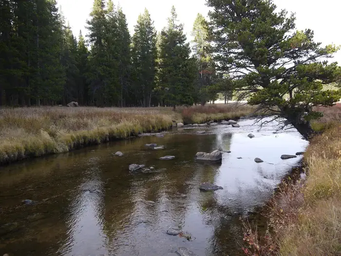 Photo: Recreation.gov (RIDB) / public domain
- 1
- sites
- Jun–Sep
- best months
Caution at last check
Agency alerts are in effect for this area; weather is good · USFS, OpenWeather · checked 15 h ago
Is Pine Island Group Area open right now?
No closures listed
The Forest Service lists no closures for Bighorn National Forest.
As of · Source: USFS · Bighorn National Forest. Agencies don't list every closure — check before you go.
- 1 site for group and tent and RV campingReservable on Recreation.gov
- At 7,655 ft
- Near DaytonTongue Ranger District · Bighorn National Forest
Pine Island Group Area is located along the Bighorn Scenic Byway (U.S. Highway 14) near the Burgess Junction at an elevation of 8,400 feet. The Bighorn National Forest offers a wide variety of activities, including hiking, fishing, scenic driving and a number of historic sites. The administering organization is Gallatin Canyon Campgrounds; e-mail: gccampgrounds13@gmail.com Recreation Off-road vehicle trails, scenic jeep roads, hiking, fishing and canoeing are available in the surrounding area. Diverse hikes vary from loop trails to treks along creeks and over mountain peaks; many trails access the Cloud Peak Wilderness. Nearby Sibley Lake is open to non-motorized craft and offers an accessible fishing dock on the shoreline. Anglers fish for rainbow, brown and brook trout.
 Pine Island Group CampgroundCampingPhoto: David Haile, CC BY-SA 4.0 (via Wikimedia Commons)0.1 mi
- Prune CreekCamping0.8 mi
- South Tongue RiverCanoeing3.5 mi
- Cutler HillHiking3.8 mi
- Copper CreekHiking4.4 mi
- Bear RocksRock climbing5.5 mi
 The Wall of LoveRock climbingPhoto: hakkun, CC BY-SA 3.0 (via Wikimedia Commons)6.1 mi
 Tongue RiverCanoeingPhoto: USGS, Public domain (via Wikimedia Commons)8.2 mi
Source: Roamze catalog (indexable pages within 10 miles, PostGIS distance)
 Ranger Creek CampgroundCamping · ~30 min drivePhoto: G Mack, CC BY-SA 3.0 (via Wikimedia Commons)
 Bald Mountain CampgroundCamping · ~32 min drivePhoto: Bas van Oorschot, CC BY-SA 3.0 (via Wikimedia Commons)
- West Tensleep LakeCamping · ~1h 5m drive
 Deer Park CampgroundCamping · ~1h 7m drivePhoto: Martin Kraft, CC BY-SA 3.0 (via Wikimedia Commons)
- Hunter CampgroundCamping · ~1h 8m drive
- Pine Island Group CampgroundCamping · Next doorPhoto: David Haile, CC BY-SA 4.0 (via Wikimedia Commons)
- Sibley LakeCamping · ~3 min drive
 Sibley Lake CampgroundCamping · ~4 min drivePhoto: David Haile, CC BY-SA 4.0 (via Wikimedia Commons)
- North TongueCamping · ~5 min drive
- Tie FlumeCamping · ~8 min drive
Best time to visit Pine Island Group Area
Best months: June–September. Best months have typical highs of 55–85 °F, lows of 30 °F or warmer (32 °F where the station doesn't record snow), at most one snowy day and no more than 12 wet days.
Jan
30° / 8°
Feb
29° / 7°
Mar
35° / 13°
Apr
41° / 18°
May
50° / 28°
Jun
61° / 35°
Jul
71° / 42°
Aug
70° / 41°
Sep
61° / 33°
Oct
46° / 23°
Nov
36° / 15°
Dec
29° / 8°
Typical high / low (°F) and days with rain or snow, 1991–2020. Measured at Burgess Junction, WY, 2.2 mi away at 8,060 ft. This station doesn't record snowfall. Source: NOAA NCEI U.S. Climate Normals 1991–2020.
Pine Island Group Area
1 site for group and tent and RV camping
