Oak Hills West
- 1.5 mi
- round trip
- 202 ft
- climb
- 940 ft
- high point
- Out and back
- route
- May, Jul–Oct
- best months
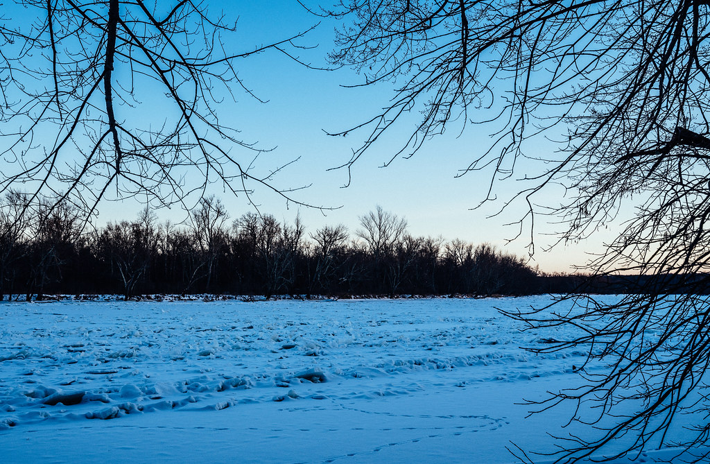
Oak Hills West is a cross-country ski route in Wisconsin's Governor Knowles State Forest, managed by the State Department of Natural Resources. The trail is an out-and-back of about 2.9 miles, with a low point of 905 feet and a high of 940 feet. The climb is gentle, with a total elevation gain of 22 feet, and the steepest stretch comes at about 0.75 miles in, with a grade of 3 percent. Winter is the natural season for this route. Typical averages from the nearby Grantsburg weather station show January highs around 22°F and lows near 1°F, while February is slightly milder at about 28°F. Spring and fall bring more moderate conditions, with May highs near 69°F and October highs around 57°F. Several other ski routes sit close by. Oak Hills and River View are each about 0.3 miles away, and Ridge Line is a similar distance. Ravine, about a mile off, offers another option within the state forest.
Best time to go · May, Jul–Oct
Best time to visit Oak Hills West
Best months: May and July–October. Best months have typical highs of 55–85 °F, lows of 30 °F or warmer (32 °F where the station doesn't record snow), at most one snowy day and no more than 12 wet days.
Jan
22° / 1°
8 wet
Feb
28° / 5°
6 wet
Mar
41° / 18°
8 wet
Apr
56° / 31°
10 wet
May
69° / 44°
12 wet
Jun
78° / 53°
13 wet
Jul
82° / 58°
12 wet
Aug
80° / 56°
10 wet
Sep
72° / 47°
11 wet
Oct
57° / 35°
11 wet
Nov
41° / 22°
8 wet
Dec
27° / 9°
9 wet
Typical high / low (°F) and days with rain or snow, 1991–2020. Measured at Grantsburg, WI, 7.2 mi away at 990 ft. This station doesn't record snowfall. Source: NOAA NCEI U.S. Climate Normals 1991–2020.
Keep exploring — more snow worth the drive
SKI
Ridge Line
Next door
1.47-mile out-and-back ski trail on a ridge line in Wisconsin.
SKI
River View
Next door
1.21-mile out-and-back route in Wisconsin with 199 feet of elevation gain.
SKI
Trillium Trail
~39 min drive
0.90-mile out-and-back route in Wisconsin with 96 ft of elevation gain.
SKI
Ravine
~2 min drive
1.23-mile out-and-back route in Wisconsin with 82 ft of elevation gain.
SKI
River View
~2 min drive
0.52-mile out-and-back ski trail in Wisconsin with 108 ft of elevation gain.
SKI
Old Logging Trail
~40 min drive
0.26-mile out-and-back logging trail in Wisconsin state park.
SKI
Oak Hills East
~2 min drive
1.48-mile out-and-back ski route in Wisconsin with 189 ft gain.
SKI
Nevers Dam Trail
~40 min drive
0.98-mile out-and-back trail in Wisconsin with 186 ft of elevation gain.
SKI
Sunrise Trail
~38 min drive
4.62-mile out-and-back trail in Wisconsin with 364 ft of elevation gain.
SKI
Malter F. Mondale River Trail
~40 min drive
0.96-mile out-and-back route with 188 ft elevation gain in Wisconsin.
Map and trail data © OpenStreetMap contributors
