Head of the Rapids
- May, Jul–Oct
- best months
Is Head of the Rapids open right now?
Closure in the area
There's a closure order in Saint Croix National Scenic Riverway. It doesn't name Head of the Rapids, so check the source for the area it covers.
North Parking Lot at Osceola Landing to Close for Bridge Construction
Park closure covering Saint Croix National Scenic Riverway · NPS · Saint Croix National Scenic Riverway
As of · Source: NPS · Saint Croix National Scenic Riverway. Agencies don't list every closure — check before you go.
Head of the Rapids is a boat launch on the Saint Croix National Scenic Riverway in Minnesota, about 8 miles from Grantsburg, Wisconsin, the nearest town. It serves as a put-in on the riverway, which runs along the state line between Minnesota and Wisconsin. Summer is the most comfortable time to visit. Typical averages from a nearby weather station in Grantsburg, Wisconsin, show July highs around 82°F with lows near 58°F, while January highs average about 22°F. The launch sits close to several cross-country ski areas, including Oak Hills East about a mile away and Oak Hills West and River View, each about 2.5 miles off. For hiking, the Matthew Loury State Trail is roughly 6 miles away.
- Oak Hills EastCross-country skiing1.3 mi
- Oak Hills WestCross-country skiing2.3 mi
- Oak HillsCross-country skiing2.5 mi
- River ViewCross-country skiing2.5 mi
- Ridge LineCross-country skiing2.5 mi
- RavineCross-country skiing3.3 mi
- Matthew Loury State TrailHiking5.7 mi
Source: Roamze catalog (indexable pages within 10 miles, PostGIS distance)
 Sunrise RiverCanoeing · ~59 min drivePhoto: Tim Kiser, CC BY-SA 4.0 (via Wikimedia Commons)
- Maple IslandBoat launch · ~8 min drive
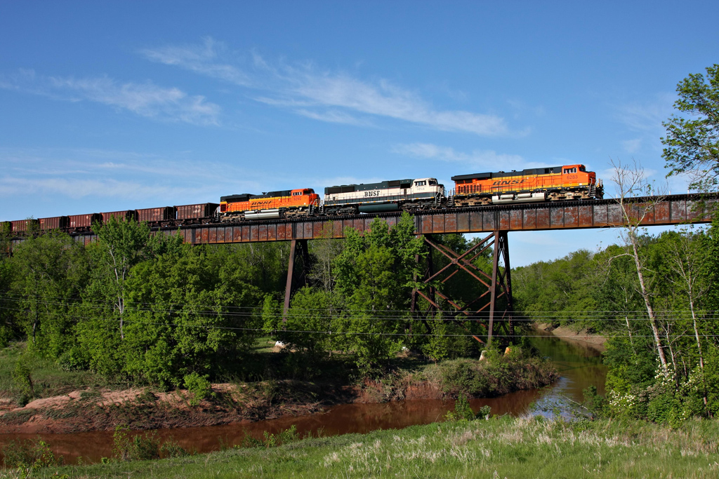 Nemadji RiverCanoeing · ~1h 10m drivePhoto: Jerry Huddleston, CC BY 2.0 (via Wikimedia Commons)
- Soderbeck LandingBoat launch · ~11 min drive
 Kettle RiverCanoeing · ~1h 18m drivePhoto: Brwerner at English Wikipedia, CC BY-SA 3.0 (via Wikimedia Commons)
- Snake River LandingBoat launch · ~11 min drive
- Kettle River State Water TrailCanoeing · ~35 min drive
- Little Yellow BanksBoat launch · ~15 min drive
- North Fork Clam RiverCanoeing · ~54 min drive
- Stevens Creek LandingBoat launch · ~24 min drive
Best time to visit Head of the Rapids
Best months: May and July–October. Best months have typical highs of 55–85 °F, lows of 30 °F or warmer (32 °F where the station doesn't record snow), at most one snowy day and no more than 12 wet days.
Jan
22° / 1°
8 wet
Feb
28° / 5°
6 wet
Mar
41° / 18°
8 wet
Apr
56° / 31°
10 wet
May
69° / 44°
12 wet
Jun
78° / 53°
13 wet
Jul
82° / 58°
12 wet
Aug
80° / 56°
10 wet
Sep
72° / 47°
11 wet
Oct
57° / 35°
11 wet
Nov
41° / 22°
8 wet
Dec
27° / 9°
9 wet
Typical high / low (°F) and days with rain or snow, 1991–2020. Measured at Grantsburg, WI, 9.1 mi away at 990 ft. This station doesn't record snowfall. Source: NOAA NCEI U.S. Climate Normals 1991–2020.
Map and trail data © OpenStreetMap contributors
