Spirit River Flowage - Mill Landing
- Jun–Sep
- best months
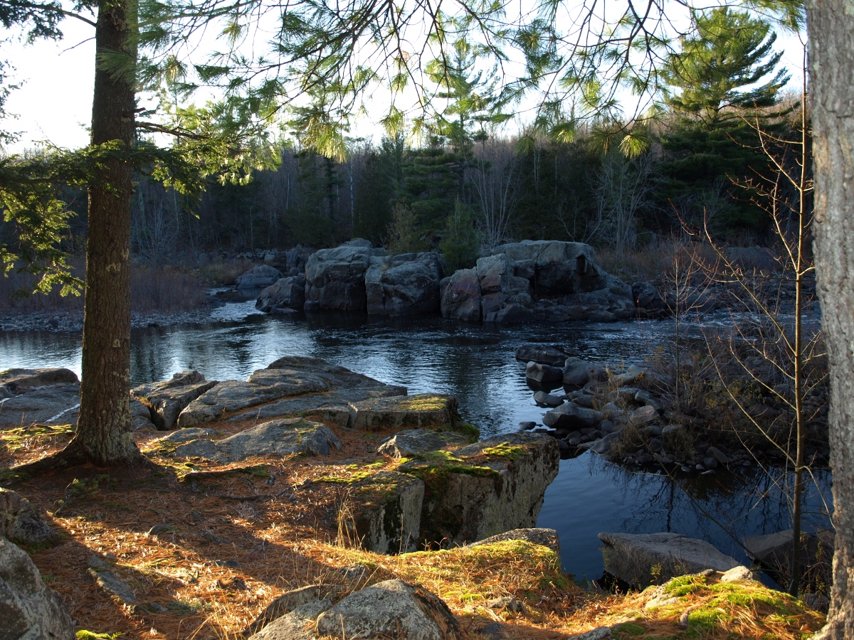
Spirit River Flowage - Mill Landing is a boat launch on the Spirit River Flowage in northern Wisconsin, about 2.7 miles from the town of Tomahawk. It serves as a put-in point for getting onto the water, and its location close to town makes it an easy stop for anyone already in the area. Summer is the most comfortable time to visit. Typical averages from a nearby weather station show July highs around 77°F with lows near 57°F, while winter highs stay in the 20s. For time off the water, the Iat - Grandfather Falls-Turtle Rock Connection hike lies about 9.3 miles away.
Source: Roamze catalog (indexable pages within 10 miles, PostGIS distance)
 Black RiverCanoeing · ~56 min drivePhoto: Originally uploaded by Iulus Ascanius (Transferred by Royalbroil), Public domain (via Wikimedia Commons)
- Spirit River Flowage - Spirit Haven RoadBoat launch · ~4 min drive
 Flambeau RiverCanoeing · ~1h 22m drivePhoto: Unknown author or not provided, Public domain (via Wikimedia Commons)
- Spirit River Flowage - Anchor Bay LaneBoat launch · ~6 min drive
- Big Rib RiverCanoeing · ~41 min drive
- Spirit River Flowage - Hwy 86Boat launch · ~8 min drive
- Little Rib RiverCanoeing · ~45 min drive
- Willow Flowage DamBoat launch · ~33 min drive
- South Fork Jump RiverCanoeing · ~46 min drive
- Sandy LandingBoat launch · ~33 min drive
Best time to visit Spirit River Flowage - Mill Landing
Best months: June–September. Best months have typical highs of 55–85 °F, lows of 30 °F or warmer (32 °F where the station doesn't record snow), at most one snowy day and no more than 12 wet days.
Jan
21° / 2°
11 wet
Feb
26° / 3°
9 wet
Mar
37° / 15°
10 wet
Apr
50° / 29°
12 wet
May
64° / 43°
13 wet
Jun
73° / 53°
12 wet
Jul
77° / 57°
11 wet
Aug
74° / 55°
11 wet
Sep
66° / 48°
11 wet
Oct
53° / 36°
12 wet
Nov
38° / 23°
10 wet
Dec
26° / 11°
11 wet
Typical high / low (°F) and days with rain or snow, 1991–2020. Measured at Rice Rsvr Tomahawk-2, WI, 6.4 mi away at 1,460 ft. This station doesn't record snowfall. Source: NOAA NCEI U.S. Climate Normals 1991–2020.
Map and trail data © OpenStreetMap contributors
