Little Platte River
- 32.0 mi
- distance
- 988 ft
- high point
- Apr, Jun–Oct
- best months
The Little Platte River is a canoeing route in Wisconsin, about 2.3 miles from the town of Platteville. It is a paddling destination rather than a trail, so there is no climb or distance to plan around, and the route is measured in miles of water rather than steps on foot. Summer is the most comfortable time to paddle. Typical averages from a nearby weather station in Platteville show July highs around 82°F with lows near 62°F, while winter brings highs in the 20s and regular snow days from December through February. Several trails sit within a few miles of the river, including the Knoll Wood Single Track Trail and Knollwood Trail, both about 2.4 miles away, and the David Canny Rountree Branch Trail at about 3.1 miles. For more paddling, the Galena River is about 8.6 miles away.
Local outfitters
- WI River Outings29 mi away
- Wisconsin Canoe Company38 mi away
Not on Roamze yet. Their page has how to reach them.
- Knoll Wood Single Track TrailHiking2.4 mi
- Knollwood TrailHiking2.4 mi
- David Canny Rountree Branch TrailHiking3.1 mi
- Mound View Single Track TrailHiking3.3 mi
- Rountree Branch TrailHiking4.2 mi
- Tagged Slab AreaRock climbing6.1 mi
- The M (Platte Mound)Rock climbing6.2 mi
 Galena RiverCanoeingPhoto: IvoShandor, CC BY-SA 3.0 (via Wikimedia Commons)8.6 mi
Source: Roamze catalog (indexable pages within 10 miles, PostGIS distance)
- Galena RiverCanoeing · ~15 min drivePhoto: IvoShandor, CC BY-SA 3.0 (via Wikimedia Commons)
- Grant River Recreation Area Boat LaunchBoat launch · ~19 min drive
 Grant RiverCanoeing · ~26 min drivePhoto: Tony Webster from Minneapolis, Minnesota, CC BY-SA 2.0 (via Wikimedia Commons)
- AY McDonald Park put_inBoat launch · ~28 min drive
 Apple RiverCanoeing · ~50 min drivePhoto: IvoShandor, CC BY-SA 3.0 (via Wikimedia Commons)
- Schmitt Island Boat RampBoat launch · ~29 min drive
- Platte RiverCanoeing · ~20 min drive
- Rivers Edge PlazaBoat launch · ~31 min drive
- Dubuque Water TrailCanoeing · ~32 min drive
- East Dubuque RampBoat launch · ~31 min drive
Also worth it near here
 Grant River CampgroundCamping · ~19 min drivePhoto: Tony Webster — CC BY-SA 2.0 (via Flickr)
 John Deere Marsh TrailHiking · ~24 min drivePhoto: Zonie_Zambonie, CC BY 2.0 (via Flickr)
- Great River RoadScenic drive · ~32 min drive
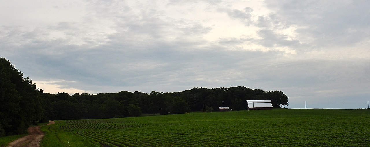 Charles MoundSummit · ~37 min drivePhoto: Skye Marthaler, CC BY-SA 3.0 (via Wikimedia Commons)
Best time to visit Little Platte River
Best months: April and June–October. Best months have typical highs of 55–85 °F, lows of 30 °F or warmer (32 °F where the station doesn't record snow), at most one snowy day and no more than 12 wet days.
Jan
26° / 10°
9 wet · 7 snow
Feb
31° / 14°
8 wet · 5 snow
Mar
43° / 25°
9 wet · 3 snow
Apr
57° / 35°
11 wet · 1 snow
May
69° / 47°
13 wet
Jun
78° / 58°
12 wet
Jul
82° / 62°
11 wet
Aug
80° / 60°
10 wet
Sep
73° / 51°
9 wet
Oct
60° / 39°
10 wet
Nov
45° / 28°
9 wet · 2 snow
Dec
32° / 17°
9 wet · 6 snow
Typical high / low (°F) and days with rain or snow, 1991–2020. Measured at Platteville, WI, 2.9 mi away at 990 ft. Source: NOAA NCEI U.S. Climate Normals 1991–2020.
