Oliver Charley Trail
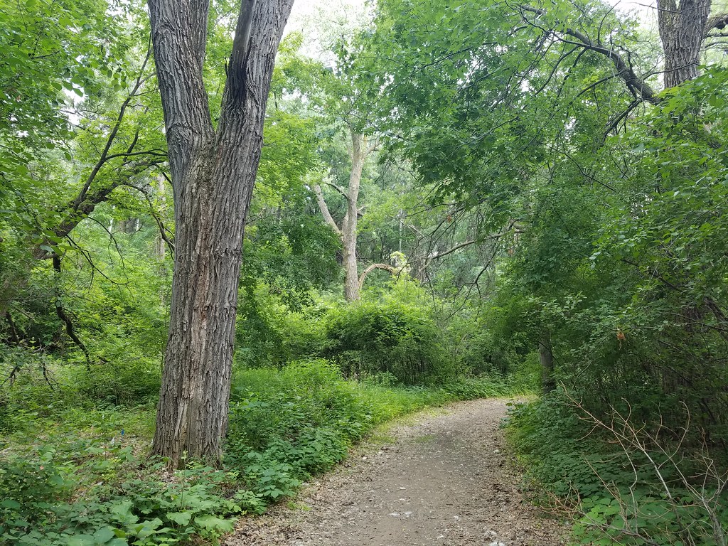
 Photo: McGhiever, CC BY-SA 3.0 (via Wikimedia Commons)
- 0.9 mi
- round trip
- 535 ft
- climb
- 967 ft
- high point
- Out and back
- route
- Apr–Oct
- best months
The Oliver Charley Trail is a short, easy hike in Afton State Park in western Wisconsin, managed by State Park and Recreation. The trail is about 0.86 miles long, and the round trip adds up to roughly 1.7 miles with a total climb of about 535 feet. The route is an out-and-back, and the steepest stretch comes early on, around 0.34 miles in, with a grade of about 12 percent. Summer is the most comfortable time to go. Typical averages from the nearby River Falls weather station show July highs around 81°F and lows near 58°F, while winter highs stay in the 20s. Several other trails sit close by. The Prairie Loop, a cross-country ski route, is about 0.4 miles away, and the North River Trail is about 0.5 miles off. The Bobolink Loop and South River Trail, both cross-country ski routes, are within a mile.
Local outfitters
- Paddlefish Adventures37 mi away
Not on Roamze yet. Their page has how to reach them.
- Prairie LoopCross-country skiing0.4 mi
- North River TrailHikingPhoto: McGhiever, CC BY-SA 3.0 (via Wikimedia Commons)0.5 mi
- Bobolink LoopCross-country skiing0.6 mi
- South River TrailCross-country skiing0.8 mi
 Interpretive TrailHikingPhoto: McGhiever, CC BY-SA 3.0 (via Wikimedia Commons)1.2 mi
- Maitake MayhemMountain biking3.4 mi
- Lost MorelMountain biking3.6 mi
- PuffballMountain biking3.6 mi
Source: Roamze catalog (indexable pages within 10 miles, PostGIS distance)
- North River TrailHiking · Next doorPhoto: McGhiever, CC BY-SA 3.0 (via Wikimedia Commons)
 Lone Rock LoopHiking · ~33 min drivePhoto: Sank63, CC BY 2.0 (via Flickr)
- Mississippi River TrailHiking · ~20 min drive
- Bobolink LoopHiking · ~1 min drivePhoto: McGhiever, CC BY-SA 3.0 (via Wikimedia Commons)
 Voyageur TrekHiking · ~34 min drivePhoto: Joe Passe, CC BY-SA 2.0 (via Flickr)
- Interpretive TrailHiking · ~2 min drivePhoto: McGhiever, CC BY-SA 3.0 (via Wikimedia Commons)
- Prairie Loop (South)Hiking · ~25 min drive
 Plum Tree TrailHiking · ~14 min drivePhoto: Gabriel Vanslette, CC BY 3.0 (via Wikimedia Commons)
- Sam Morgan Regional TrailHiking · ~25 min drive
 Big WheezyHiking · ~22 min drivePhoto: Joe Passe, CC BY-SA 2.0 (via Flickr)
Best time to visit Oliver Charley Trail
Best months: April–October. Best months have typical highs of 55–85 °F, lows of 30 °F or warmer (32 °F where the station doesn't record snow), at most one snowy day and no more than 12 wet days.
Jan
22° / 4°
Feb
27° / 8°
Mar
40° / 20°
Apr
55° / 32°
May
68° / 43°
Jun
77° / 54°
Jul
81° / 58°
Aug
79° / 56°
Sep
71° / 49°
Oct
57° / 36°
Nov
41° / 24°
Dec
27° / 12°
Typical high / low (°F) and days with rain or snow, 1991–2020. Measured at River Falls, WI, 8.3 mi away at 940 ft. This station doesn't record snowfall. Source: NOAA NCEI U.S. Climate Normals 1991–2020.
Map and trail data © OpenStreetMap contributors
