Mound View State Trail
- 2.5 mi
- round trip
- 249 ft
- climb
- 1,136 ft
- high point
- Out and back
- route
- Apr, Jun–Oct
- best months
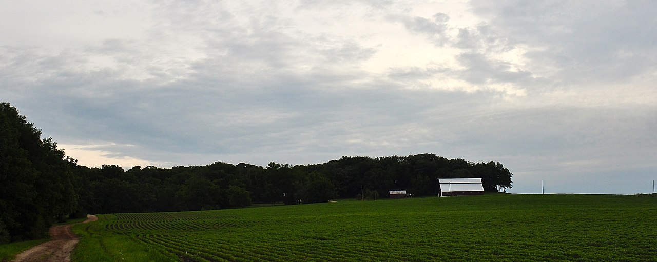
Mound View State Trail is a 2.45-mile out-and-back hike in Wisconsin, about 2.7 miles from the town of Platteville. The trail rises from a low point of 963 feet to a high of 1136 feet, with a total elevation gain of 249 feet over the round trip. The climb is gentle, with the steepest stretch at about 0.94 miles in, where the grade reaches 7 percent. The most comfortable months for a visit are late spring through early fall. Typical averages from a nearby weather station in Platteville show June highs around 78°F and September highs around 73°F, with July the warmest at about 82°F. Winters are cold, with January highs near 26°F and several snowy days each month from December through February. The hike takes about two hours. The trail is easy, and the route is short enough to fit into a day of exploring the surrounding area. Rountree Branch Trail lies less than a mile away, and Mound View Single Track Trail is about 1.6 miles off. Climbers can head to Tagged Slab Area, about 2 miles away, and paddlers can reach the Little Platte River, roughly 4.9 miles from the trail.
- Rountree Branch TrailHiking0.8 mi
- Mound View Single Track TrailHiking1.6 mi
- David Canny Rountree Branch TrailHiking2 mi
- Tagged Slab AreaRock climbing2 mi
- The M (Platte Mound)Rock climbing2.3 mi
- Knollwood TrailHiking2.9 mi
- Little Platte RiverCanoeing4.9 mi
 Galena RiverCanoeingPhoto: IvoShandor, CC BY-SA 3.0 (via Wikimedia Commons)5.5 mi
Source: Roamze catalog (indexable pages within 10 miles, PostGIS distance)
 John Deere Marsh TrailHiking · ~29 min drivePhoto: Zonie_Zambonie, CC BY 2.0 (via Flickr)
 Heritage TrailHiking · ~37 min drivePhoto: Mitch199811, CC BY-SA 4.0 (via Wikimedia Commons)
 Excavator RidgeHiking · ~32 min drivePhoto: Zonie_Zambonie, CC BY 2.0 (via Flickr)
- Pecatonica State TrailHiking · ~23 min drive
- Skidder LoopHiking · ~32 min drivePhoto: Zonie_Zambonie, CC BY 2.0 (via Flickr)
- Cheese Country TrailHiking · ~26 min drive
- Dozer DriveHiking · ~32 min drivePhoto: Zonie_Zambonie, CC BY 2.0 (via Flickr)
- Rountree Branch TrailHiking · ~1 min drive
- Mound View Single Track TrailHiking · ~3 min drive
- Mound View State TrailHiking · ~3 min drive
Also worth it near here
- Galena RiverCanoeing · ~9 min drivePhoto: IvoShandor, CC BY-SA 3.0 (via Wikimedia Commons)
 Grant River CampgroundCamping · ~26 min drivePhoto: Tony Webster — CC BY-SA 2.0 (via Flickr)
- Grant River Recreation Area Boat LaunchBoat launch · ~26 min drive
 Charles MoundSummit · ~32 min drivePhoto: Skye Marthaler, CC BY-SA 3.0 (via Wikimedia Commons)
Best time to visit Mound View State Trail
Best months: April and June–October. Best months have typical highs of 55–85 °F, lows of 30 °F or warmer (32 °F where the station doesn't record snow), at most one snowy day and no more than 12 wet days.
Jan
26° / 10°
9 wet · 7 snow
Feb
31° / 14°
8 wet · 5 snow
Mar
43° / 25°
9 wet · 3 snow
Apr
57° / 35°
11 wet · 1 snow
May
69° / 47°
13 wet
Jun
78° / 58°
12 wet
Jul
82° / 62°
11 wet
Aug
80° / 60°
10 wet
Sep
73° / 51°
9 wet
Oct
60° / 39°
10 wet
Nov
45° / 28°
9 wet · 2 snow
Dec
32° / 17°
9 wet · 6 snow
Typical high / low (°F) and days with rain or snow, 1991–2020. Measured at Platteville, WI, 2.2 mi away at 990 ft. Source: NOAA NCEI U.S. Climate Normals 1991–2020.
Map and trail data © OpenStreetMap contributors
