Iat - Averill-Kelly Creek Wilderness-New Wood Connection
- 0.6 mi
- one way
- 11 ft
- climb
- 1,418 ft
- high point
- Point to point
- route
- Jul–Oct
- best months
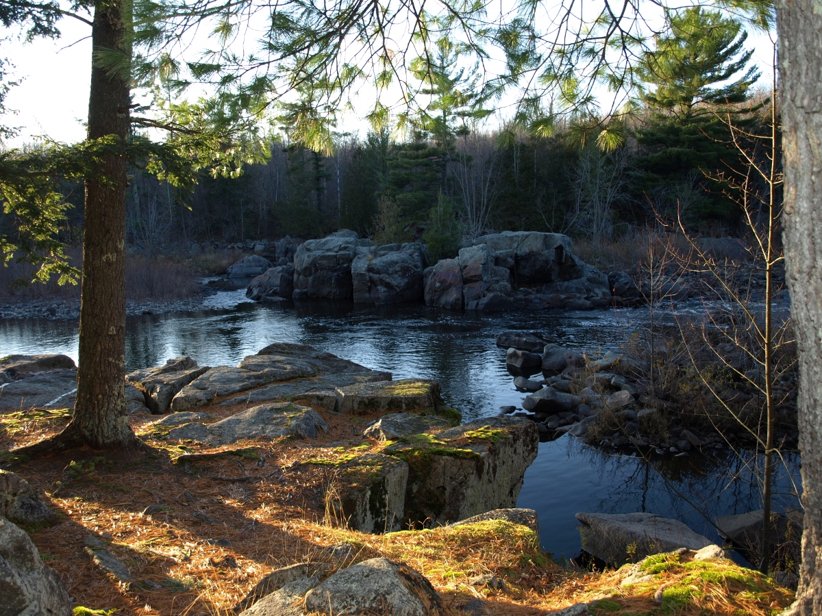
The Iat - Averill-Kelly Creek Wilderness-New Wood Connection is a short, easy hike in northern Wisconsin, about 10 miles from the town of Otis. It links the Averill-Kelly Creek Wilderness with the New Wood area, and the route is a flat, point-to-point walk of about 0.6 miles with a total elevation gain of 11 feet. The climb is nearly flat, with the steepest stretch at about 0.48 miles, and the route starts and ends at roughly 1,418 feet. Summer is the most comfortable time to go. Typical averages from the nearby Merrill weather station show July highs around 80°F with lows near 57°F, while winter highs stay in the 20s. The Iat - Averill-Kelly Creek Wilderness Segment lies about 0.6 miles away, and the Iat - Turtle Rock Segment is about 3 miles off. The Iat - Camp 27 Segment and the Iat - New Wood Segment are each about 4 miles away.
- Iat - Averill-Kelly Creek Wilderness SegmentHiking0.6 mi
- Iat - Turtle Rock SegmentHiking3.1 mi
- Iat - Camp 27 SegmentHiking4.1 mi
- Iat - New Wood SegmentHiking4.1 mi
- Iat - Grandfather Falls SegmentHiking4.8 mi
- Iat - Underdown-Grandfather Falls ConnectionHiking4.8 mi
- Iat - Grandfather Falls-Turtle Rock ConnectionHiking5.3 mi
- Iat - Timberland Wilderness SegmentHiking7 mi
Source: Roamze catalog (indexable pages within 10 miles, PostGIS distance)
 Mondeaux River West HwtHiking · ~45 min drivePhoto: Aarongunnar, CC BY-SA 3.0 (via Wikimedia Commons)
 South Twin West HwtHiking · ~45 min drivePhoto: Aarongunnar, CC BY-SA 3.0 (via Wikimedia Commons)
- Iat - Underdown-Grandfather Falls ConnectionHiking · ~8 min drive
- South Twin West a HwtHiking · ~46 min drivePhoto: Aarongunnar, CC BY-SA 3.0 (via Wikimedia Commons)
- Iat - New Wood SegmentHiking · ~7 min drive
- Iat - Wood Lake SegmentHiking · ~14 min drive
 South Twin East HwtHiking · ~47 min drivePhoto: Aarongunnar, CC BY-SA 3.0 (via Wikimedia Commons)
- Iat - Underdown SegmentHiking · ~22 min drive
- Iat - Harrison Hills SegmentHiking · ~28 min drive
- Mondeaux River East HwtHiking · ~45 min drivePhoto: Aarongunnar, CC BY-SA 3.0 (via Wikimedia Commons)
Best time to visit Iat - Averill-Kelly Creek Wilderness-New Wood Connection
Best months: July–October. Best months have typical highs of 55–85 °F, lows of 30 °F or warmer (32 °F where the station doesn't record snow), at most one snowy day and no more than 12 wet days.
Jan
22° / 3°
10 wet
Feb
27° / 5°
8 wet
Mar
39° / 17°
9 wet
Apr
53° / 30°
12 wet
May
67° / 43°
13 wet
Jun
76° / 53°
13 wet
Jul
80° / 57°
12 wet
Aug
78° / 55°
12 wet
Sep
70° / 46°
12 wet
Oct
55° / 34°
12 wet
Nov
40° / 23°
10 wet
Dec
27° / 11°
11 wet
Typical high / low (°F) and days with rain or snow, 1991–2020. Measured at Merrill, WI, 13.8 mi away at 1,250 ft. This station doesn't record snowfall. Source: NOAA NCEI U.S. Climate Normals 1991–2020.
Map and trail data © OpenStreetMap contributors
