Camp Chi and Perlstein Retreat Center
- Apr–Oct
- best months
- At 876 ft
Camp Chi and Perlstein Retreat Center is a campground in Wisconsin at about 876 feet.
Local outfitters
- Wisconsin Canoe Company32 mi away
- Mr. Duck's Canoe Rental40 mi away
Not on Roamze yet. Their page has how to reach them.
- Ishnala TrailCross-country skiing1.7 mi
 Cth a TrailHikingPhoto: Michael Barera, CC BY-SA 4.0 (via Wikimedia Commons)2 mi
- Wildwood PassCross-country skiing2.2 mi
- Pioneer TrailCross-country skiing2.2 mi
 Mirror Lake State ParkState parkPhoto: McGhiever, CC BY-SA 3.0 (via Wikimedia Commons)2.2 mi
- Kilbourne TrailCross-country skiing2.3 mi
 Rocky Arbor State ParkState parkPhoto: Archbob, CC0 (via Wikimedia Commons)3 mi
- Baraboo RangeRock climbing6.8 mi
Source: Roamze catalog (indexable pages within 10 miles, PostGIS distance)
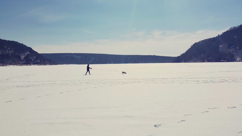 Devil’s Lake State Park CampgroundsCamping · ~21 min drivePhoto: erniedog1982 — CC BY 2.0 (via Flickr)
- BonanzaCamping · ~2 min drive
- Nature's Touch CampgroundCamping · ~2 min drive
- American Resort and CampgroundCamping · ~3 min drive
- Cliffwood CampgroundCamping · ~3 min drive
- Sandstone Ridge CampgroundCamping · ~4 min drive
- Group CampCamping · ~4 min drive
- Bluewater Bay CampgroundCamping · ~4 min drive
- Pioneer ParkCamping · ~4 min drive
- Rocky Arbor State Park CampgroundCamping · ~5 min drive
Best time to visit Camp Chi and Perlstein Retreat Center
Best months: April–October. Best months have typical highs of 55–85 °F, lows of 30 °F or warmer (32 °F where the station doesn't record snow), at most one snowy day and no more than 12 wet days.
Jan
26° / 8°
8 wet
Feb
31° / 11°
7 wet
Mar
43° / 22°
8 wet
Apr
57° / 33°
11 wet
May
69° / 45°
12 wet
Jun
79° / 56°
11 wet
Jul
82° / 60°
10 wet
Aug
81° / 57°
9 wet
Sep
73° / 49°
9 wet
Oct
60° / 37°
10 wet
Nov
44° / 26°
8 wet
Dec
32° / 15°
9 wet
Typical high / low (°F) and days with rain or snow, 1991–2020. Measured at Wisconsin Dells, WI, 2 mi away at 835 ft. This station doesn't record snowfall. Source: NOAA NCEI U.S. Climate Normals 1991–2020.
Map and trail data © OpenStreetMap contributors
