White Trail
- 1.2 mi
- round trip
- 817 ft
- climb
- 1,251 ft
- high point
- Out and back
- route
- Apr–Oct
- best months
White Trail is a short, out-and-back hike in West Virginia, about 2.8 miles from the town of Smith Crossroads. The route starts and ends at roughly the same elevation, with a steady climb to a high point of about 1,251 feet and a total round-trip gain of about 817 feet over a 2.5-mile length. The climb is easy to manage, and the trail reaches its steepest stretch at about mile 1, where the grade peaks at 22%. A one-way trip should take about an hour. The trail's low point sits at around 923 feet, and the start elevation is about 1,242 feet. Late spring and early fall are the most comfortable times to go. Typical averages from a nearby weather station run to highs around 73°F in May and 77°F in September, with summer highs reaching the mid-80s. The Cacapon River, a fishing spot, lies about 2.8 miles away. The Ziler Loop & Central Trail and the Central Trail are each about 4.6 miles off, and Little Orleans Campground is roughly 7 miles away.
- Cacapon RiverRiver fishing2.8 mi
- Ziler Loop & Central TrailHiking4.6 mi
- Central TrailHiking4.6 mi
- Ziler Loop TrailHiking4.6 mi
- Sleepy CreekCanoeing6.9 mi
- Little Orleans CampgroundCamping7.1 mi
- Devil's NoseRock climbing9 mi
- North East AreaRock climbing9.1 mi
Source: Roamze catalog (indexable pages within 10 miles, PostGIS distance)
 Chesapeake and Ohio Canal TrailHiking · ~11 min drivePhoto: John B. from Highland Park, NJ, United States, CC BY 2.0 (via Wikimedia Commons)
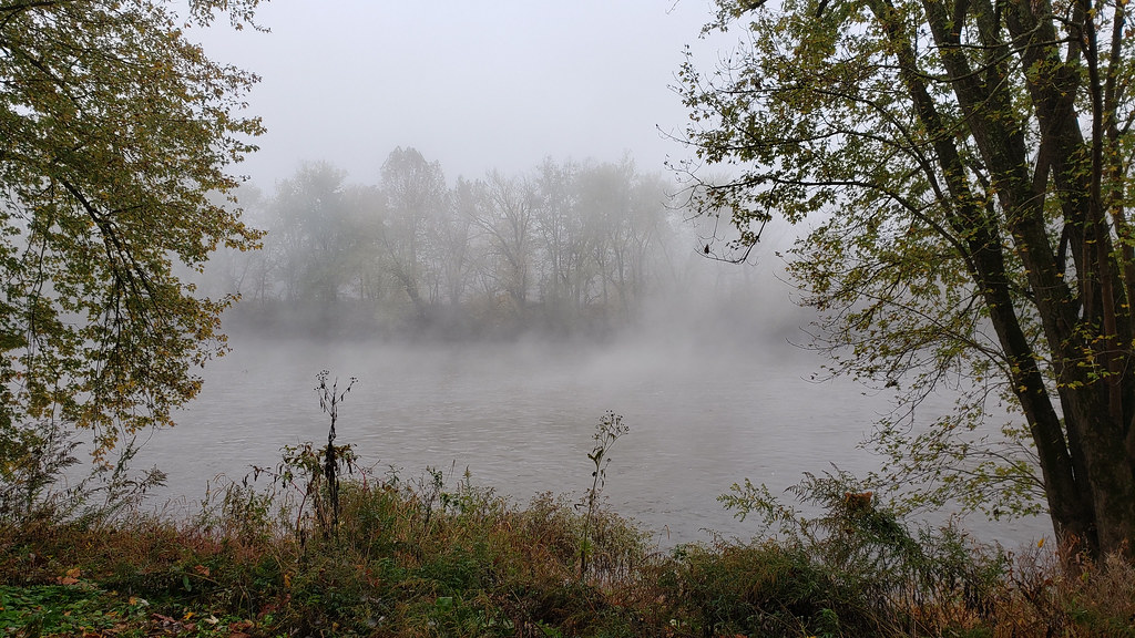 Long Pond Red TrailHiking · ~14 min drivePhoto: asciipip, CC BY-SA 2.0 (via Flickr)
- Chesapeake and Ohio Canal TrailHiking · ~10 min drive
- Chesapeake and Ohio Canal TrailHiking · ~11 min drive
 Chesapeake and Ohio Canal TrailHiking · ~17 min drivePhoto: Fredlyfish4, CC BY-SA 4.0 (via Wikimedia Commons)
- Ziler Loop & Central TrailHiking · ~8 min drive
- Sleepy Creek Mountain Trail (partial)Hiking · ~11 min drive
- Great Eastern Trail - Green Ridge State ForestHiking · ~17 min drive
- Ziler Loop TrailHiking · ~8 min drive
- Central TrailHiking · ~8 min drive
Best time to visit White Trail
Best months: April–October. Best months have typical highs of 55–85 °F, lows of 30 °F or warmer (32 °F where the station doesn't record snow), at most one snowy day and no more than 12 wet days.
Jan
40° / 21°
7 wet
Feb
43° / 23°
6 wet
Mar
52° / 30°
8 wet
Apr
64° / 40°
10 wet
May
73° / 49°
11 wet
Jun
81° / 58°
10 wet
Jul
85° / 62°
9 wet
Aug
83° / 60°
9 wet
Sep
77° / 53°
8 wet
Oct
66° / 42°
7 wet
Nov
54° / 32°
6 wet
Dec
44° / 25°
7 wet
Typical high / low (°F) and days with rain or snow, 1991–2020. Measured at Cacapon St Pk #2, WV, 4.9 mi away at 958 ft. This station doesn't record snowfall. Source: NOAA NCEI U.S. Climate Normals 1991–2020.
Map and trail data © OpenStreetMap contributors
