Spruce Creek Trail
- 1.4 mi
- round trip
- 943 ft
- climb
- 1,386 ft
- high point
- Out and back
- route
- Mar–Nov
- best months
Spruce Creek Trail is a 2.8-mile out-and-back hike in Cabwaylingo State Forest in West Virginia, managed by the State Department of Natural Resources. The trail starts at about 832 feet and climbs to a high point of 1,386 feet, with a total elevation gain of 943 feet over the round trip. The climb is front-loaded, with the steepest stretch at about 0.5 miles in, where the grade reaches 23 percent. The most comfortable months for a visit are typically September and October, when typical averages from a nearby weather station run from highs of 78°F and lows of 57°F in September to highs of 66°F and lows of 45°F in October. That station sits about 270 feet lower than the trail's high point, so temperatures on the summit run a little cooler. The hike takes about 1.5 hours. Copley Trail and Ash Branch Trail are each about a mile away, and Indian Trail is about 1.5 miles off. East Fork, a river fishing spot, is about 9 miles away.
- Copley TrailHiking1 mi
- Ash Branch TrailHiking1.1 mi
- Indian TrailHiking1.5 mi
- Sleepy Hollow TrailHiking1.6 mi
- Martin Ridge TrailHiking1.7 mi
- Warfield Walking TrackHiking8.5 mi
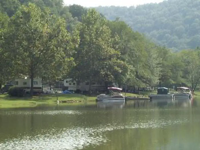 East ForkRiver fishing9 mi
 East Fork (wv)CampingPhoto: Recreation.gov (RIDB) / public domain9 mi
Source: Roamze catalog (indexable pages within 10 miles, PostGIS distance)
- Copley TrailHiking · ~2 min drive
- Martin Ridge TrailHiking · ~3 min drive
- Wilderness TrailHiking · ~32 min drive
- Great Eastern Trail - TunuguHiking · ~44 min drive
- Ash Branch TrailHiking · ~2 min drive
- Warfield Walking TrackHiking · ~15 min drive
- Coal Mine TrailHiking · ~32 min drive
- Rockhouse Trail 25 (MED)Hiking · ~50 min drive
- Indian TrailHiking · ~3 min drive
- Rattlesnake TrailHiking · ~32 min drive
Best time to visit Spruce Creek Trail
Best months: March–November. Best months have typical highs of 55–85 °F, lows of 30 °F or warmer (32 °F where the station doesn't record snow), at most one snowy day and no more than 12 wet days.
Jan
43° / 26°
12 wet
Feb
47° / 28°
12 wet
Mar
56° / 34°
12 wet
Apr
68° / 44°
11 wet
May
74° / 53°
12 wet
Jun
81° / 61°
11 wet
Jul
84° / 65°
11 wet
Aug
83° / 63°
9 wet
Sep
78° / 57°
7 wet
Oct
66° / 45°
9 wet
Nov
56° / 36°
9 wet
Dec
46° / 30°
12 wet
Typical high / low (°F) and days with rain or snow, 1991–2020. Measured at Dunlow 1 Sw, WV, 2.9 mi away at 1,113 ft. This station doesn't record snowfall. Source: NOAA NCEI U.S. Climate Normals 1991–2020.
Map and trail data © OpenStreetMap contributors
