Great Eastern Trail - Tunugu
- 77.5 mi
- one way
- 12,222 ft
- climb
- 2,309 ft
- high point
- Point to point
- route
- Apr, Jun
- best months
Clear at last check
Weather is good · OpenWeather · checked 19 h ago
The Great Eastern Trail - Tunugu is a 77.5-mile point-to-point route in West Virginia, crossing from the low of 734 feet to the high of 2,309 feet with a total elevation gain of 12,222 feet. It is an expert-level hike, and the nearest town is Buskirk, Kentucky, about a third of a mile away. Spring and fall are the most comfortable times to go. Typical averages from a nearby weather station in Williamson, WV, show October highs around 72°F with lows near 47°F, and May highs around 79°F. That station sits well below the trail's high point, so temperatures on the higher stretches run cooler. The trip takes about 32 hours. Plan for a long day on foot, with the climb spread across the full length of the route.
 Twin Rocks TrailHiking · ~35 min drivePhoto: Brian M. Powell (user Bitmapped on en.wikipedia), CC BY-SA 3.0 (via Wikimedia Commons)
- Buzzards Overlook TrailHiking · ~37 min drivePhoto: Brian M. Powell (user Bitmapped on en.wikipedia), CC BY-SA 3.0 (via Wikimedia Commons)
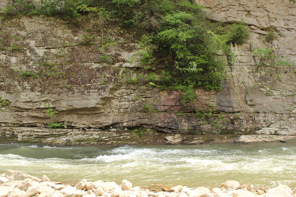 Pine Mountain State Scenic TrailHiking · ~41 min drivePhoto: Gamma Man, CC BY 2.0 (via Flickr)
- Rockhouse Trail 25 (MED)Hiking · ~22 min drive
- Loop TrailHiking · ~38 min drivePhoto: Brian M. Powell (user Bitmapped on en.wikipedia), CC BY-SA 3.0 (via Wikimedia Commons)
- Rockhouse Trail 45Hiking · ~22 min drive
- Wilderness TrailHiking · ~34 min drive
 Pine Mountain State Scenic Trail - Birch Knob SectionHiking · ~42 min drivePhoto: Gamma Man, CC BY 2.0 (via Flickr)
- Rockhouse Trail 45 (MED)Hiking · ~22 min drive
- Coal Mine TrailHiking · ~34 min drive
Also worth it near here
- Laurel LakeLake fishing · ~27 min drive
 Pool PointRock climbing · ~41 min drivePhoto: Gamma Man, CC BY 2.0 (via Flickr)
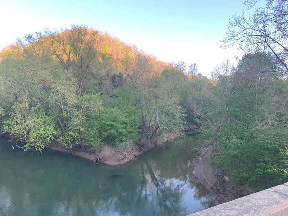 Big Harts CreekCanoeing · ~43 min drivePhoto: Brandon Ray Kirk, CC BY-SA 4.0 (via Wikimedia Commons)
- Skegg KnobSummit · ~44 min drive
- John W. Flannagan Day UseFloat trip · ~48 min drive
Best time to visit Great Eastern Trail - Tunugu
Best months: April, June and September–November. Best months have typical highs of 55–85 °F, lows of 30 °F or warmer (32 °F where the station doesn't record snow), at most one snowy day and no more than 12 wet days.
Jan
47° / 26°
12 wet · 2 snow
Feb
51° / 29°
11 wet · 2 snow
Mar
60° / 34°
13 wet · 1 snow
Apr
72° / 43°
12 wet
May
79° / 54°
13 wet
Jun
85° / 63°
12 wet
Jul
89° / 67°
12 wet
Aug
88° / 66°
10 wet
Sep
82° / 59°
9 wet
Oct
72° / 47°
10 wet
Nov
61° / 35°
11 wet
Dec
50° / 30°
12 wet · 1 snow
Typical high / low (°F) and days with rain or snow, 1991–2020. Measured at Williamson, WV, 6.7 mi away at 760 ft. The station sits about 1,500 ft lower than this place, so expect it a little cooler here. Source: NOAA NCEI U.S. Climate Normals 1991–2020.
Map and trail data © OpenStreetMap contributors
