Little Beaver State Park Campground
Campground
Campground · 4.3 mi from the trail
Mill Branch Trail is a short out-and-back hike in West Virginia, about a mile from the town of Johnstown. The route is easy to fit into a day, with a round trip of less than a mile and a total elevation gain of about 560 feet. It reaches a high point of about 2,300 feet. The trail's out-and-back shape makes it simple to time. Start at the lower end of the climb, and you'll pass a steep stretch early on, with a grade of about 28% at roughly a fifth of a mile in. The climb is rolling rather than a single, continuous push. Late summer and early fall are the most comfortable times to go. Typical averages from a nearby weather station in Beckley run to highs around 73°F in September, with September also seeing the fewest wet days of the year. Winter is cold, with January highs around 40°F. The trail sits close to several other short walks. Beckley Mill Trail is about a fifth of a mile away and Creek Crossing Trail about a third of a mile, with Rock Ridge Trail a little over a quarter of a mile off. For climbing, Piney Creek Watershed is about 1.5 miles away.
Little Beaver State Park Campground
Campground
Bro Marsh Barbecue
Barbecue restaurant
 If it rainsCoal town guy, CC BY-SA 3.0 · Wikimedia Commons
Places © OpenStreetMap contributors, Places © Overture Maps Foundation · Photos: Coal town guy, CC BY-SA 3.0 (commons)
More in Fayetteville Glade CreekCanoeingPhoto: Brian M. Powell (user Bitmapped on en.wikipedia), CC BY-SA 3.0 (via Wikimedia Commons)6 mi
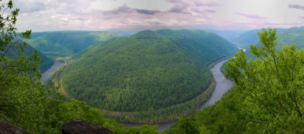 Grandview Shelter 4CampingPhoto: Recreation.gov (RIDB) / public domain6.1 mi
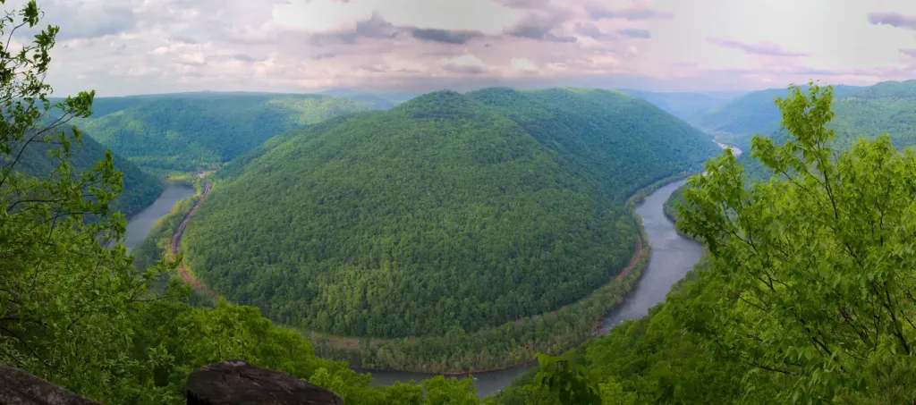 Grandview Shelter 1CampingPhoto: Recreation.gov (RIDB) / public domain6.1 mi
Source: Roamze catalog (indexable pages within 10 miles, PostGIS distance)
Best months: July–October. Best months have typical highs of 55–85 °F, lows of 30 °F or warmer (32 °F where the station doesn't record snow), at most one snowy day and no more than 12 wet days.
Jan
40° / 19°
14 wet
Feb
43° / 21°
13 wet
Mar
51° / 27°
14 wet
Apr
63° / 36°
13 wet
May
71° / 46°
14 wet
Jun
76° / 54°
13 wet
Jul
79° / 58°
12 wet
Aug
78° / 57°
11 wet
Sep
73° / 50°
9 wet
Oct
63° / 39°
10 wet
Nov
53° / 29°
11 wet
Dec
43° / 23°
14 wet
Typical high / low (°F) and days with rain or snow, 1991–2020. Measured at Beckley Va Hospital, WV, 2.5 mi away at 2,330 ft. This station doesn't record snowfall. Source: NOAA NCEI U.S. Climate Normals 1991–2020.
Map and trail data © OpenStreetMap contributors
