Pool Point
Pool Point is a Kentucky climbing area with 2 sport routes.
 Photo: Gamma Man, CC BY 2.0 (via Flickr)
- 2 routes
- 5.10 – 5.11
- Sport
Is Pool Point open right now?
Closure in the area
There's a closure order in George Washington and Jefferson National Forest. It doesn't name Pool Point, so check the source for the area it covers (2 listed).
Road Closures James River and Warm Springs Ranger District
Agency closure covering George Washington and Jefferson National Forest · USFS · George Washington and Jefferson National Forest
Bolar Mountain Recreation Area - Twin Ridge Road Closure
Agency closure covering George Washington and Jefferson National Forest · USFS · George Washington and Jefferson National Forest
Virginia Creeper National Recreation Trail Closure Update
Agency alert covering George Washington and Jefferson National Forest · USFS · George Washington and Jefferson National Forest
Mount Rogers National Recreation Area: Forest Service Road 84 Closed Beginning 9/1/25
Agency alert covering George Washington and Jefferson National Forest · USFS · George Washington and Jefferson National Forest
As of · Source: USFS · George Washington and Jefferson National Forest. Agencies don't list every closure — check before you go.
Best time to visit Pool Point
Best months: March–November. Best months have typical highs of 55–85 °F, lows of 30 °F or warmer (32 °F where the station doesn't record snow), at most one snowy day and no more than 12 wet days.
Jan
43° / 23°
Feb
47° / 26°
Mar
56° / 32°
Apr
67° / 40°
May
73° / 50°
Jun
80° / 58°
Jul
82° / 62°
Aug
82° / 62°
Sep
77° / 55°
Oct
66° / 43°
Nov
55° / 33°
Dec
46° / 27°
Typical high / low (°F) and days with rain or snow, 1991–2020. Measured at Breaks Interstate Park, VA, 2 mi away at 1,893 ft. The station sits about 900 ft higher than this place, so expect it a little warmer here. This station doesn't record snowfall. Source: NOAA NCEI U.S. Climate Normals 1991–2020.
Pool Point is a climbing area in Kentucky's Breaks Interstate Park, within the Clinch Ranger District of the George Washington and Jefferson National Forest. It sits right on the park's boundary, and the Coal Wall climbing area is just 0.2 miles away. The area has two sport routes, Eddy at 5.10 and Flowage at 5.11, both rated in the YDS system. The climbing is short and compact, so it pairs easily with a walk on the Pine Mountain State Scenic Trail, which passes within half a mile of the Coal Wall section. For timing, late spring and early fall are the most comfortable. Typical averages from a nearby weather station run from highs around 73°F in May to 77°F in September, while winter highs sit in the low 40s. That station sits about 900 feet lower than the park, so temperatures at the climbing area run cooler. Across the line in Virginia, The Escape Room and The Pavilion are each about a mile away. Fishtrap Lake Shelters, roughly 10 miles off, offers camping.
Routes (2)
River Access & Recreation Area(2)
Keep exploring — more climbs worth the drive
 Photo: Magnolia677, CC BY 4.0 (via Wikimedia Commons)
Jeopardy Wall
~3 min drive
Jeopardy Wall in Virginia has 5 climbing routes on 5 difficulty grades.
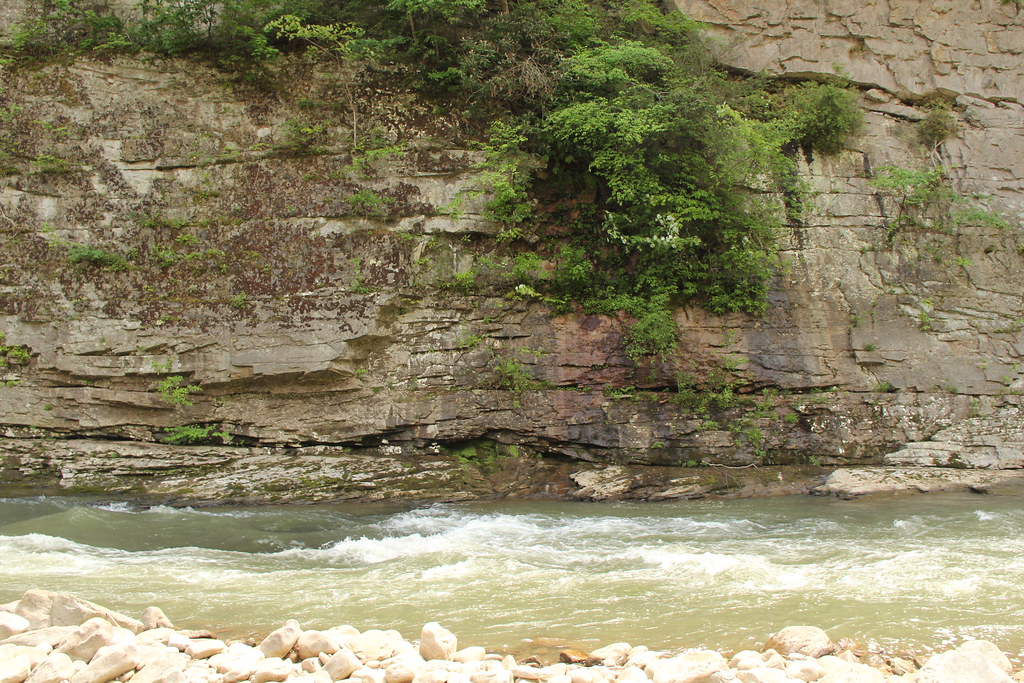 Photo: Gamma Man, CC BY 2.0 (via Flickr)
Coal Wall
~0 min drive
Coal Wall in Kentucky has 7 climbing routes across 3 grades.
The Pavilion
~2 min drive
Pavilion, Virginia climbing area with 13 routes across 10 grades.
Business Time Crag
~2 min drive
Business Time Crag in Virginia has 9 sport climbing routes across 7 difficulty grades.
Froopy Land Pillar
~2 min drive
Froopy Land Pillar in Virginia has 11 climbing routes across 8 grades.
Mid Prospectors
~2 min drive
Mid Prospectors in Virginia has 24 climbing routes across 14 grades.
The Notches
~2 min drive
The Notches in Virginia has 6 trad climbing routes across 5 difficulty grades.
Lower Lodges
~2 min drive
Lower Lodges in Virginia has 23 climbing routes across 13 grades.
The Homestead
~2 min drive
Homestead, The in Virginia has 16 climbing routes on 10 difficulty grades.
Ginger Wall
~2 min drive
Ginger Wall in Virginia has 11 climbing routes ranging from sport to trad.


