Red Creek Campground
Campground
Campground · 3.5 mi from the trail
 Photo: Nicolas Raymond from Bethesda, Maryland, USA, CC BY 2.0 (via Wikimedia Commons)
Closure in the area
There's a closure order in Monongahela National Forest. It doesn't name Fisher Spring Run Trail, so check the source for the area it covers.
NFS Road 76 Road Closure for Public Health and Safety
Agency closure covering Monongahela National Forest · USFS · Monongahela National Forest
National Forest System Road 86 Closure for Public Health and Safety
Agency alert covering Monongahela National Forest · USFS · Monongahela National Forest
As of · Source: USFS · Monongahela National Forest. Agencies don't list every closure — check before you go.
Fisher Spring Run Trail is a 4.8-mile out-and-back hike in the Dolly Sods Wilderness, part of the Potomac Ranger District of Monongahela National Forest in West Virginia. The Forest Service manages the land, and the trail runs on natural surface. It is a moderate route with about 860 feet of elevation gain one way, from a low of about 3,056 feet to a high of about 3,903 feet. Summer is the most comfortable time to go. Typical averages from a nearby weather station show July highs around 75°F with lows near 57°F, while winter highs stay around freezing. The trail is not accessible, and bikes are not allowed. Wildlife Trail and Rocky Point Trail both start within a mile. Red Creek Campground is about 3.5 miles away, and the Dolly Sods Region climbing area is about 5.4 miles off.
Red Creek Campground
Campground
Weiss Haus
Bar
 If it rainsBrian M. Powell (user Bitmapped on en.wikipedia ), CC BY-SA 3.0 · Wikimedia Commons
Sites Homestead
Museum
Places © OpenStreetMap contributors · Photos: Brian M. Powell (user Bitmapped on en.wikipedia ), CC BY-SA 3.0 (commons)
More in Harman Jess JudyCampingPhoto: Recreation.gov (RIDB) / public domain8.9 mi
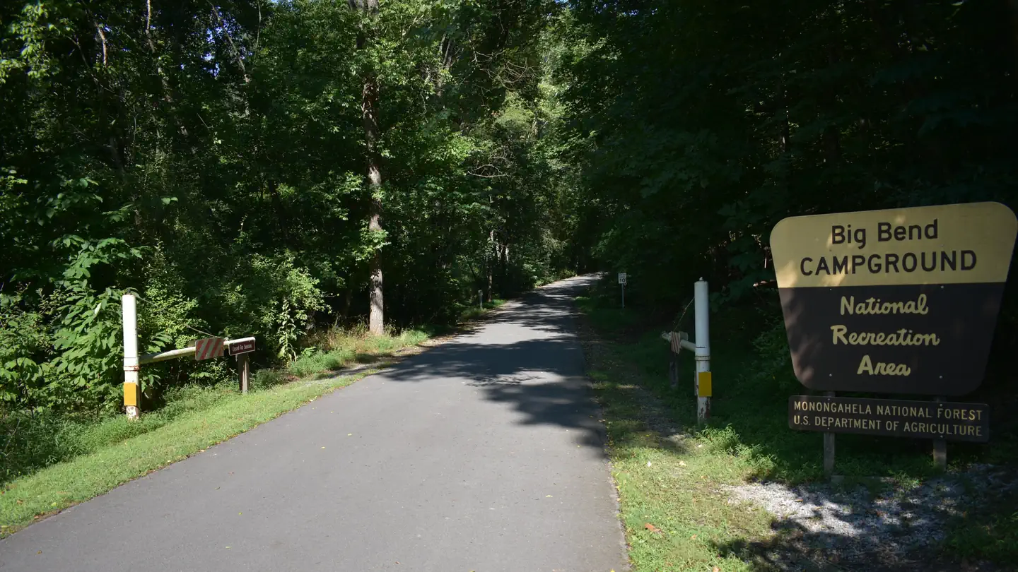 Big BendRiver fishing8.9 mi
Source: Roamze catalog (indexable pages within 10 miles, PostGIS distance)
South Prong TrailHiking · ~5 min drivePhoto: Nicolas Raymond from Bethesda, Maryland, USA, CC BY 2.0 (via Wikimedia Commons) Cabin Mountain TrailHiking · ~5 min drivePhoto: U. S. Fish and Wildlife Service - Northeast Region, Public domain (via Wikimedia Commons)
 Freeland TrailHiking · ~7 min drivePhoto: U. S. Fish and Wildlife Service - Northeast Region, Public domain (via Wikimedia Commons)
 Dobbin Grade TrailHiking · ~7 min drivePhoto: FishSpeaker, CC BY 3.0 (via Wikimedia Commons)Raven Ridge TrailHiking · ~10 min drivePhoto: FishSpeaker, CC BY 3.0 (via Wikimedia Commons)
 Beaver View TrailHiking · ~9 min drivePhoto: FishSpeaker, CC BY 3.0 (via Wikimedia Commons)Rocky Ridge TrailHiking · ~10 min drivePhoto: FishSpeaker, CC BY 3.0 (via Wikimedia Commons)
 Dobbin Slashings TrailHiking · ~9 min drivePhoto: FishSpeaker, CC BY 3.0 (via Wikimedia Commons)
Best months: September. Best months have typical highs of 55–85 °F, lows of 30 °F or warmer (32 °F where the station doesn't record snow), at most one snowy day and no more than 12 wet days.
Jan
32° / 16°
22 wet
Feb
35° / 17°
19 wet
Mar
43° / 24°
18 wet
Apr
56° / 34°
16 wet
May
64° / 45°
17 wet
Jun
72° / 53°
15 wet
Jul
75° / 57°
15 wet
Aug
74° / 55°
14 wet
Sep
68° / 49°
11 wet
Oct
57° / 38°
14 wet
Nov
46° / 29°
15 wet
Dec
36° / 21°
20 wet
Typical high / low (°F) and days with rain or snow, 1991–2020. Measured at Davis 3se, WV, 8.4 mi away at 3,715 ft. This station doesn't record snowfall. Source: NOAA NCEI U.S. Climate Normals 1991–2020.
