Yokum's Campground
Campground
Campground · 5.0 mi from the trail
Closure in the area
There's a closure order in Monongahela National Forest. It doesn't name Canyon Rim Trail, so check the source for the area it covers.
NFS Road 76 Road Closure for Public Health and Safety
Agency closure covering Monongahela National Forest · USFS · Monongahela National Forest
National Forest System Road 86 Closure for Public Health and Safety
Agency alert covering Monongahela National Forest · USFS · Monongahela National Forest
As of · Source: USFS · Monongahela National Forest. Agencies don't list every closure — check before you go.
Canyon Rim Trail is a 2.7-mile moderate hike in the Potomac Ranger District of Monongahela National Forest in West Virginia, managed by the Forest Service. The trail is an out-and-back that climbs about 985 feet one way, with the total round-trip gain reaching 1,620 feet. The route starts at roughly 4,260 feet and reaches a high point of about 4,614 feet, with the steepest stretch around mile 2.3, where the grade reaches about 11%. Summer is the most comfortable time to go. Typical averages from a nearby weather station in Elkins show July highs around 74°F with lows near 56°F, and September is the driest month, with about 11 wet days. That station sits well below the trail, so temperatures on the rim run cooler. Hidden Passage Trail and Tee Pee Trail are both within about 1.6 miles. Seneca Shadows campground and Seneca Creek, a canoeing spot, are about 6.5 miles away.
Yokum's Campground
Campground
 If it rainsBrian M. Powell (user Bitmapped on en.wikipedia ), CC BY-SA 3.0 · Wikimedia Commons
Sites Homestead
Museum
Places © OpenStreetMap contributors · Photos: Brian M. Powell (user Bitmapped on en.wikipedia ), CC BY-SA 3.0 (commons)
More in Harman Seneca CreekCanoeingPhoto: Brian M. Powell (user Bitmapped on en.wikipedia), CC BY-SA 3.0 (via Wikimedia Commons)5.6 mi
 Jess JudyCampingPhoto: Recreation.gov (RIDB) / public domain7.4 mi
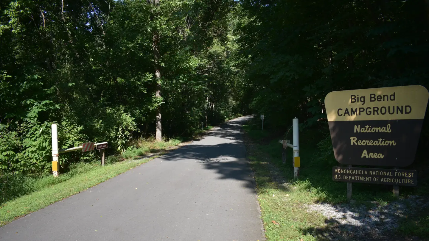 Big BendRiver fishing7.4 mi
Source: Roamze catalog (indexable pages within 10 miles, PostGIS distance)
 South Prong TrailHiking · ~4 min drivePhoto: Nicolas Raymond from Bethesda, Maryland, USA, CC BY 2.0 (via Wikimedia Commons)Fisher Spring Run TrailHiking · ~9 min drivePhoto: Nicolas Raymond from Bethesda, Maryland, USA, CC BY 2.0 (via Wikimedia Commons)
 Freeland TrailHiking · ~14 min drivePhoto: U. S. Fish and Wildlife Service - Northeast Region, Public domain (via Wikimedia Commons)
 Cabin Mountain TrailHiking · ~13 min drivePhoto: U. S. Fish and Wildlife Service - Northeast Region, Public domain (via Wikimedia Commons)
Also worth it near here
 North Peak - East FaceRock climbing · ~10 min drivePhoto: Famartin, CC BY-SA 4.0 (via Wikimedia Commons)Seneca CreekCanoeing · ~10 min drivePhoto: Brian M. Powell (user Bitmapped on en.wikipedia), CC BY-SA 3.0 (via Wikimedia Commons)
Best months: September. Best months have typical highs of 55–85 °F, lows of 30 °F or warmer (32 °F where the station doesn't record snow), at most one snowy day and no more than 12 wet days.
Jan
34° / 18°
21 wet
Feb
36° / 20°
18 wet
Mar
44° / 27°
18 wet
Apr
57° / 35°
16 wet
May
64° / 46°
17 wet
Jun
71° / 53°
16 wet
Jul
74° / 56°
16 wet
Aug
73° / 55°
14 wet
Sep
68° / 49°
11 wet
Oct
59° / 39°
13 wet
Nov
47° / 30°
15 wet
Dec
38° / 23°
18 wet
Typical high / low (°F) and days with rain or snow, 1991–2020. Measured at Elkins 21 Ene, WV, 8.4 mi away at 3,390 ft. The station sits about 1,200 ft lower than this place, so expect it a little cooler here. This station doesn't record snowfall. Source: NOAA NCEI U.S. Climate Normals 1991–2020.
Map and trail data © OpenStreetMap contributors
