Little Beaver State Park Campground
Campground
Campground · 4.1 mi from the trail
Ant Hill Trail is a short, easy out-and-back hike in West Virginia, about 1.3 miles from the town of Johnstown. The trail is 0.84 miles long, with a total elevation gain of 118 feet, and it reaches a high point of 2,431 feet. The climb is front-loaded, with the steepest stretch at about 0.2 miles in, and the trail returns to its starting elevation of 2,363 feet. The most comfortable months for a visit are typically late spring and early fall. Typical averages from a nearby weather station in Beckley show May highs around 72°F and September highs around 74°F, with September also seeing the fewest wet days of the year. The hike takes about half an hour to complete. Ship Rock Loop and the Grey Flats Trail (North and South) are all within about 0.4 miles. Piney Creek Watershed, a climbing area, is about 1.2 miles away.
Little Beaver State Park Campground
Campground
 If it rainsCoal town guy, CC BY-SA 3.0 · Wikimedia Commons
Places © OpenStreetMap contributors, Places © Overture Maps Foundation · Photos: Coal town guy, CC BY-SA 3.0 (commons)
More in Fayetteville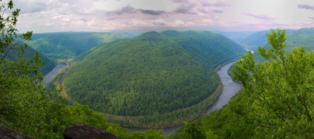 Grandview Shelter 4CampingPhoto: Recreation.gov (RIDB) / public domain5.7 mi
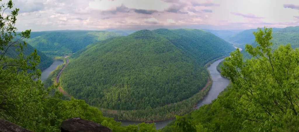 Grandview Shelter 1CampingPhoto: Recreation.gov (RIDB) / public domain5.7 mi
 Glade CreekCanoeingPhoto: Brian M. Powell (user Bitmapped on en.wikipedia), CC BY-SA 3.0 (via Wikimedia Commons)5.9 mi
Source: Roamze catalog (indexable pages within 10 miles, PostGIS distance)
Best months: August–October. Best months have typical highs of 55–85 °F, lows of 30 °F or warmer (32 °F where the station doesn't record snow), at most one snowy day and no more than 12 wet days.
Jan
40° / 24°
15 wet
Feb
44° / 27°
14 wet
Mar
52° / 33°
16 wet
Apr
64° / 43°
14 wet
May
72° / 51°
15 wet
Jun
78° / 59°
14 wet
Jul
81° / 62°
13 wet
Aug
80° / 61°
12 wet
Sep
74° / 55°
10 wet
Oct
64° / 44°
11 wet
Nov
53° / 35°
12 wet
Dec
44° / 28°
14 wet
Typical high / low (°F) and days with rain or snow, 1991–2020. Measured at Beckley Raleigh Co Ap, WV, 1.2 mi away at 2,514 ft. This station doesn't record snowfall. Source: NOAA NCEI U.S. Climate Normals 1991–2020.
Map and trail data © OpenStreetMap contributors
