Gatewood Group
Campground
Campground · 2.1 mi from the trail
Closure in the area
There's a closure order in Monongahela National Forest. It doesn't name Seneca Creek, so check the source for the area it covers.
NFS Road 76 Road Closure for Public Health and Safety
Agency closure covering Monongahela National Forest · USFS · Monongahela National Forest
National Forest System Road 86 Closure for Public Health and Safety
Agency alert covering Monongahela National Forest · USFS · Monongahela National Forest
As of · Source: USFS · Monongahela National Forest. Agencies don't list every closure — check before you go.
Seneca Creek is a river fishing spot in West Virginia's Monongahela National Forest, within the Potomac Ranger District. The USDA Forest Service manages the land, and the creek sits in a cluster of trails and climbing areas, making it an easy addition to a day spent exploring the surrounding forest. Summer and early fall are the most comfortable times to visit. Typical averages from a nearby weather station show July highs around 78°F with lows near 55°F, and September highs around 72°F with the fewest wet days of the year. That station sits a few hundred feet lower than the creek, so temperatures here run slightly cooler. The Seneca Creek Trail starts just 0.4 miles away, and the Lumberjack Trail and Tom Lick Trail are both within about a mile. Climbers can head to the Spruce Knob bouldering area, about 1.5 miles off.
Gatewood Group
Campground
 If it rainsBrian M. Powell (user Bitmapped on en.wikipedia ), CC BY-SA 3.0 · Wikimedia Commons
Sites Homestead
Museum
Places © OpenStreetMap contributors · Photos: Brian M. Powell (user Bitmapped on en.wikipedia ), CC BY-SA 3.0 (commons)
More in HarmanNot on Roamze yet. Their page has how to reach them.
Best months: August–October. Best months have typical highs of 55–85 °F, lows of 30 °F or warmer (32 °F where the station doesn't record snow), at most one snowy day and no more than 12 wet days.
Jan
35° / 16°
18 wet
Feb
38° / 17°
16 wet
Mar
47° / 24°
17 wet
Apr
59° / 33°
15 wet
May
68° / 43°
16 wet
Jun
75° / 51°
14 wet
Jul
78° / 55°
14 wet
Aug
77° / 54°
12 wet
Sep
72° / 47°
10 wet
Oct
61° / 35°
12 wet
Nov
49° / 26°
13 wet
Dec
39° / 21°
17 wet
Typical high / low (°F) and days with rain or snow, 1991–2020. Measured at Glady 1 N, WV, 11.1 mi away at 2,840 ft. This station doesn't record snowfall. Source: NOAA NCEI U.S. Climate Normals 1991–2020.
SEE
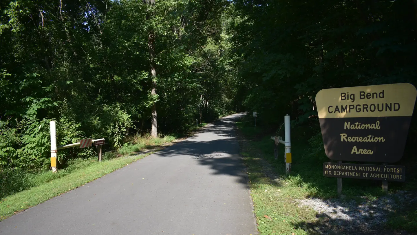
Big Bend
~35 min drive
SEE
North Fork South Branch Potomac River
~44 min drive
North Fork South Branch Potomac River is a river in West Virginia.
SEE
Mossy Creek
~1h 2m drive
Mossy Creek is a stream in Virginia.
SEE
Elk River
~1h 4m drive
Elk River is a river in West Virginia.
SEE
Buffalo Lake
~26 min drive
Buffalo Lake is a 21-acre lake near BARTOW, West Virginia, at about 3,066 feet. It is managed by the U.S. Forest Service.
SEE
Williams River Fishing Pier
~1h 18m drive
SEE
North River Ranger District
~1h 10m drive
SEE
Trout Run
~1h 18m drive
Trout Run is a stream in Maryland.
SEE
Tygart Lake
~1h 19m drive
Tygart Lake is a 1,585-acre reservoir in West Virginia.
SEE
Brandywine Lake
~34 min drive
Brandywine Lake is a 5-acre lake near Brandywine, West Virginia, at about 1,834 feet.