Cascade Peaks Family Campground
Campground
Campground · 2.5 mi from the trail
Closure in the area
There's a closure order in Cowlitz Valley Ranger District. It doesn't name Pompey Peak, so check the source for the area it covers.
Backbone Fire Area, Road, and Trail Closure
Agency closure covering Cowlitz Valley Ranger District · Order 06-03-05-26-07 · USFS · Cowlitz Valley Ranger District
Backbone Fire Area, Road, and Trail Closure
Agency alert covering Cowlitz Valley Ranger District · Order 06-03-05-26-07 · USFS · Cowlitz Valley Ranger District
Fire Restrictions
Agency alert covering Gifford Pinchot National Forest · USFS · Gifford Pinchot National Forest
Seasonal Road Closures
Agency alert covering Gifford Pinchot National Forest · USFS · Gifford Pinchot National Forest
Road Repairs & Road Closures in 2026
Agency alert covering Gifford Pinchot National Forest · USFS · Gifford Pinchot National Forest
As of · Source: USFS · Cowlitz Valley Ranger District. Agencies don't list every closure — check before you go.
Pompey Peak is a summit of 5,173 feet in the Cowlitz Valley Ranger District of Gifford Pinchot National Forest in Washington, about 9 miles from the town of Packwood. Summer is the most comfortable time to go. Typical averages from a nearby weather station at a similar elevation show July and August highs around 62 to 64°F with lows in the mid-40s, while winter highs stay in the low to mid 30s. The closest trails are the Klickitat Trail #7, about 1.3 miles away, and the Pompey Peak Trail #128, about 2.2 miles away. North Fork Elk Group Camp is about 3.5 miles off, and the Southwest Cascades climbing area is about 8.6 miles away.
Cascade Peaks Family Campground
Campground
 If it rainsSteven Pavlov, CC BY-SA 4.0 · Wikimedia Commons
Places © OpenStreetMap contributors · Photos: Steven Pavlov, CC BY-SA 4.0 (commons)
More in PackwoodDaily highs and lows, wind and the chance of precipitation at the summit and route start for the next 7 days, from the Open-Meteo model.
Elevation from USGS 3D Elevation Program terrain data (about 10 m resolution).
5,173 ft (1,577 m).
One: POMPEY PEAK.
Source: Roamze catalog (indexable pages within 10 miles, PostGIS distance)
 Old Snowy MountainSummit · ~26 min drivePhoto: Walter Siegmund (talk), CC BY 2.5 (via Wikimedia Commons)
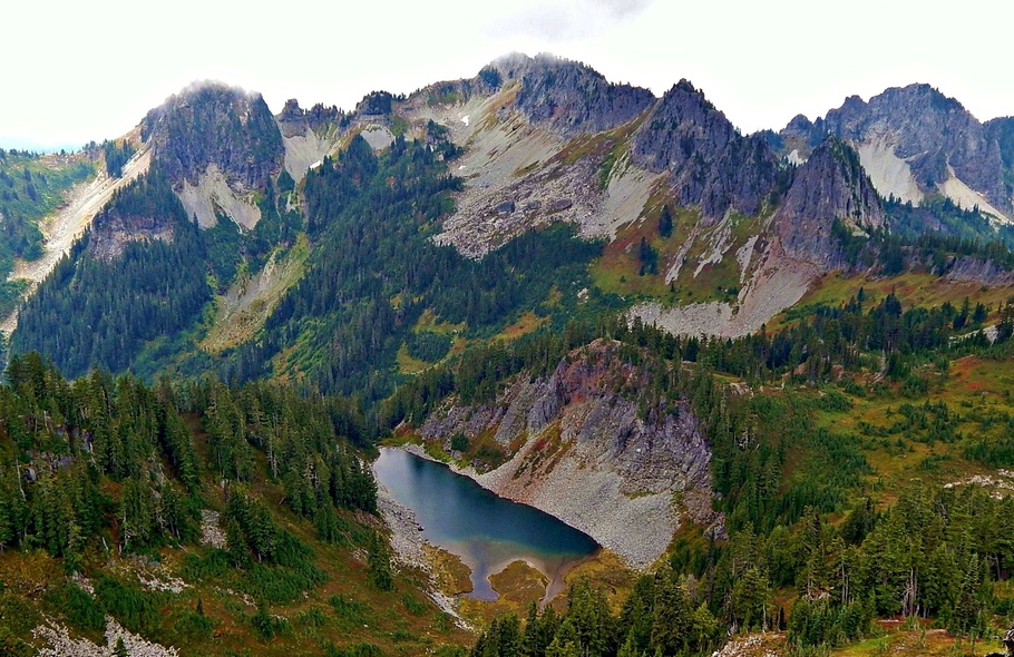 Wahpenayo PeakSummit · ~29 min drivePhoto: Ron Clausen, CC BY-SA 4.0 (via Wikimedia Commons)
 Unicorn PeakSummit · ~29 min drivePhoto: Ron Clausen, CC BY-SA 4.0 (via Wikimedia Commons)
 Gilbert PeakSummit · ~29 min drivePhoto: No machine-readable author provided. Wsiegmund assumed (based on copyright claims)., CC BY 2.5 (via Wikimedia Commons)
 Plummer PeakSummit · ~30 min drivePhoto: Peter Stevens (Nordique), CC BY 2.0 (via Wikimedia Commons)
 Eagle PeakSummit · ~30 min drivePhoto: Ron Clausen, CC BY-SA 4.0 (via Wikimedia Commons)
 Denman PeakSummit · ~30 min drivePhoto: Ron Clausen, CC BY-SA 4.0 (via Wikimedia Commons)
 Lane PeakSummit · ~30 min drivePhoto: Ron Clausen, CC BY-SA 4.0 (via Wikimedia Commons)
 Pinnacle PeakSummit · ~31 min drivePhoto: SolYoun, CC BY 2.0 (via Wikimedia Commons)
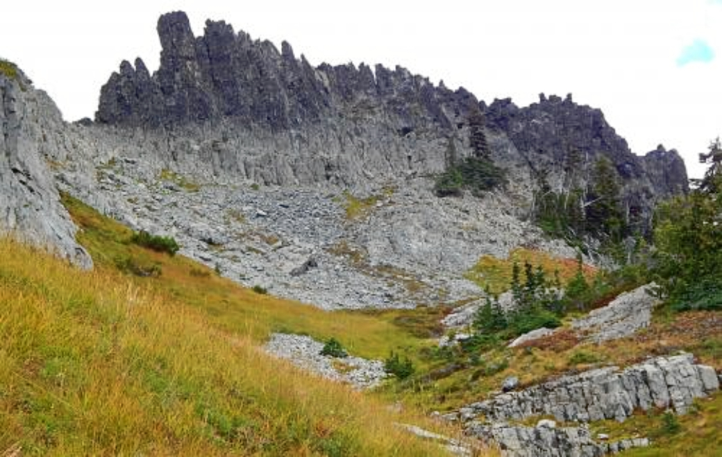 The CastleSummit · ~31 min drivePhoto: Ron Clausen, CC BY-SA 4.0 (via Wikimedia Commons)
Best months: July–September. Best months have typical highs of 55–85 °F, lows of 30 °F or warmer (32 °F where the station doesn't record snow), at most one snowy day and no more than 12 wet days.
Jan
34° / 24°
Feb
34° / 23°
Mar
36° / 24°
Apr
40° / 26°
May
48° / 33°
Jun
54° / 37°
Jul
62° / 44°
Aug
64° / 45°
Sep
57° / 41°
Oct
46° / 33°
Nov
37° / 26°
Dec
33° / 22°
Typical high / low (°F) and days with rain or snow, 1991–2020. Measured at Rainier Paradise Rs, WA, 19.7 mi away at 5,427 ft. This station doesn't record snowfall. Source: NOAA NCEI U.S. Climate Normals 1991–2020.
