
Mount Thomson
About
Mount Thomson is a summit of about 6,540 feet in King County, Washington, inside the Alpine Lakes Wilderness. The peak lies within the Snoqualmie Ranger District of Mt. Baker-Snoqualmie National Forest, which the Forest Service manages. The nearest town is Snoqualmie Pass, about 5.4 miles away. The Western Alpine Lakes climbing area is about a mile away, and Burnboot Creek offers canoeing at a similar distance. The Pacific Crest National Scenic Trail and the Goldmyer Hot Springs Trail both pass within about 1.6 miles.
Summit Facts
Summit elevation
6,540 ft
Land manager
Forest Service
Elevation from USGS 3D Elevation Program terrain data (about 10 m resolution).
Location
Mount Thomson
Washington
Name and location: U.S. Geological Survey, Geographic Names Information System (GNIS). Elevation: USGS 3D Elevation Program. View the GNIS record.
Facts about this place
Where it is
- Alpine Lakes Wilderness · Wilderness
- Snoqualmie Ranger District · Ranger district
- Mt. Baker-Snoqualmie National Forest · National forest
- Nearest town
- Snoqualmie Pass, Washington · 5.4 mi
- Managed by
- Forest Service
Source: Wilderness.net boundaries; USFS EDW boundaries; USGS PAD-US 4.1; USGS GNIS populated places
Conditions
Active alerts for Snoqualmie Ranger District as of Oct 9, 2026:
Road Damages/Closures - Snoqualmie District - Enumclaw Area
information · posted Aug 24, 2026
critical · posted Aug 24, 2026
Motorized Use Restriction on the Cle Elum Ranger District
information · posted Aug 24, 2026
Source: USFS forest alerts
Nearby
- Western Alpine LakesRock climbing1.1 mi
- Burnboot CreekCanoeing1.2 mi
- Pacific Crest National Scenic TrailHiking1.5 mi
- Goldmyer Hot Springs TrailHiking1.6 mi
- Gold CreekCanoeing3 mi
- Summer-Fall (rock)Rock climbing4.8 mi
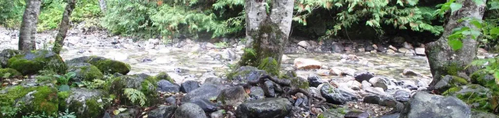 Denny Creek CampgroundCampingPhoto: Recreation.gov (RIDB) / public domain5.6 mi
- OwhiCamping9.5 mi
Source: Roamze catalog (indexable pages within 10 miles, PostGIS distance)
Is Mount Thomson open right now?
Closure in the area
There's a closure order in Mt. Baker-Snoqualmie National Forest. It doesn't name Mount Thomson, so check the source for the area it covers (3 listed).
Grand Park 2 Fire Closure Update
Agency closure covering Mt. Baker-Snoqualmie National Forest · Order 06-05-26-16 · USFS · Mt. Baker-Snoqualmie National Forest
Grand Park 2 Fire Closure
Agency closure covering Snoqualmie Ranger District · Order 06-05-26-13 · USFS · Snoqualmie Ranger District
Bell Creek Bridge Damaged
Agency closure covering Mt. Baker-Snoqualmie National Forest · USFS · Mt. Baker-Snoqualmie National Forest
Rescission of Shooting Restrictions
Agency alert covering Mt. Baker-Snoqualmie National Forest · USFS · Mt. Baker-Snoqualmie National Forest
Electric Fire Closure Order
Agency alert covering Mt. Baker-Snoqualmie National Forest · Order 06-05-26-19 · USFS · Mt. Baker-Snoqualmie National Forest
As of · Source: USFS · Mt. Baker-Snoqualmie National Forest. Agencies don't list every closure — check before you go.
