Mountain · 2 routes
Grant Peak
10,777 ft · Washington
- Summit
- 10,777 ft
- Routes
- 2 ways up
Routes up Grant Peak
- Coxcomb Ridge RouteEasyabout 800 ft of climbingScramble0.6 mi round tripSee the route
- North Ridge RouteExpertabout 5,178 ft of climbingScramble6.2 mi round tripSee the route
| Coxcomb Ridge Route | North Ridge Route | |
|---|---|---|
| Climbing | About 800 ft | About 5,178 ft |
| Round trip | 0.6 mi | 6.2 mi |
| Difficulty | Easy | Expert |
| Terrain | Scramble | Scramble |
About Grant Peak
Grant Peak is a summit in the Mount Baker Wilderness, part of the Mt. Baker Ranger District of Mt. Baker-Snoqualmie National Forest in Washington. The nearest town is Glacier, about 10 miles away. They cover the Sibley Creek/Hidden Lake Trailhead Road (FSR 1540) and the Anderson-Watson Road (FSR 1107). The Coxcomb Ridge Route starts just 0.3 miles from the peak, and the North Ridge Route is about 2.6 miles away. For a base, Boulder Creek Campground sits roughly 7 miles off. The Middle Fork Nooksack River, about 5.6 miles away, offers paddling.
Forecast on Grant Peak
Daily highs and lows, wind and the chance of precipitation at the summit and route start for the next 7 days, from the Open-Meteo model.
Questions about Grant Peak
How tall is Grant Peak?
10,777 ft (3,285 m).
How many routes go to the summit of Grant Peak?
2: Coxcomb Ridge Route and North Ridge Route.
What is the shortest route up Grant Peak?
Coxcomb Ridge Route, about 0.6 mi round trip.
Mountains nearby
- Park Butte5,453 ft · Washington1 route4.6 mi away
 Table Mountain5,740 ft · Washington3 routes6.8 mi awayPhoto: Ron Clausen, CC BY-SA 4.0 (via Wikimedia Commons)
- Panorama Dome5,041 ft · Washington1 route8.2 mi away
- Excelsior Peak5,702 ft · Washington2 routes11 mi away
- Ruth Mountain7,106 ft · Washington1 route14 mi away
- Winchester Mountain6,507 ft · Washington1 route15 mi away
Facts about this place
Where it is
- Mount Baker Wilderness · Wilderness
- Mt. Baker Ranger District · Ranger district
- Mt. Baker-Snoqualmie National Forest · National forest
- Nearest town
- Glacier, Washington · 9.6 mi
Source: Wilderness.net boundaries; USFS EDW boundaries; USGS GNIS populated places
Conditions
Active alerts for Mt. Baker Ranger District as of Oct 9, 2026:
Sibley Creek/Hidden Lake Trailhead Road (FSR 1540) Closure, Mt. Baker Ranger District
information · posted Aug 24, 2026
Anderson-Watson Road (FSR 1107) Closure, Mt. Baker Ranger District
information · posted Aug 24, 2026
Source: USFS forest alerts
Nearby
 Coxcomb Ridge RouteHikingPhoto: Gonzalo Lopez de Haro, Public domain (via Wikimedia Commons)0.3 mi
- North Ridge RouteHiking2.6 mi
- Bar CreekCanoeing5.1 mi
- Middle Fork Nooksack RiverCanoeing5.6 mi
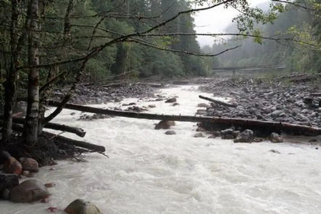 Boulder Creek CampgroundCampingPhoto: Recreation.gov (RIDB) / public domain6.9 mi
- Park Creek CampgroundCamping7.3 mi
- The PumphouseRock climbing9 mi
- Cobblestone WallRock climbing9.9 mi
Source: Roamze catalog (indexable pages within 10 miles, PostGIS distance)
Is Grant Peak open right now?
Closure in the area
There's a closure order in Mt. Baker-Snoqualmie National Forest. It doesn't name Grant Peak, so check the source for the area it covers (2 listed).
Grand Park 2 Fire Closure Update
Agency closure covering Mt. Baker-Snoqualmie National Forest · Order 06-05-26-16 · USFS · Mt. Baker-Snoqualmie National Forest
Bell Creek Bridge Damaged
Agency closure covering Mt. Baker-Snoqualmie National Forest · USFS · Mt. Baker-Snoqualmie National Forest
Rescission of Shooting Restrictions
Agency alert covering Mt. Baker-Snoqualmie National Forest · USFS · Mt. Baker-Snoqualmie National Forest
Electric Fire Closure Order
Agency alert covering Mt. Baker-Snoqualmie National Forest · Order 06-05-26-19 · USFS · Mt. Baker-Snoqualmie National Forest
Mountain Goats Have Been Present on Yellow Aster Butte
Agency alert covering Mt. Baker-Snoqualmie National Forest · USFS · Mt. Baker-Snoqualmie National Forest
As of · Source: USFS · Mt. Baker-Snoqualmie National Forest. Agencies don't list every closure — check before you go.
