Bridle Trails
- State Park and Recreation
- managed by
- May–Sep
- best months
Bridle Trails is a Washington state park managed by State Park and Recreation, about 2.3 miles from the town of Yarrow Point. It serves as a base for a cluster of trails and climbing areas, with Bridle Crest Trail about 2.2 miles away and the PSE Trail and Beach Walk within roughly 4 miles. Summer is the most comfortable time to visit. Typical averages from a nearby weather station show July and August highs around 76 to 77°F with only about six wet days a month, while winter brings highs in the mid-40s and rain on most days. Climbers will find the South Face & S. Dihedral and North Face areas about 2.9 miles away. Bear Creek, a canoeing spot, is about 5.7 miles off.
Park size
489 acres
 Bridle Crest TrailHikingPhoto: Tradnor (talk · contribs), CC BY-SA 3.0 (via Wikimedia Commons)2.2 mi
- South Face & S. DihedralRock climbing2.9 mi
- North FaceRock climbing2.9 mi
- East SlabRock climbing2.9 mi
- East faces & DihedralRock climbing2.9 mi
- PSE TrailHiking3.8 mi
- Beach WalkHiking3.9 mi
 Bear CreekCanoeingPhoto: Brianhe, CC BY-SA 4.0 (via Wikimedia Commons)5.7 mi
Source: Roamze catalog (indexable pages within 10 miles, PostGIS distance)
 Saint EdwardState park · ~11 min drivePhoto: Joe Mabel, CC BY-SA 3.0 (via Wikimedia Commons)
 Lake SammamishState park · ~14 min drivePhoto: Mggkitsap, CC BY 3.0 (via Wikimedia Commons)
 ManchesterState park · ~32 min drivePhoto: Lumpytrout, CC BY-SA 3.0 (via Wikimedia Commons)
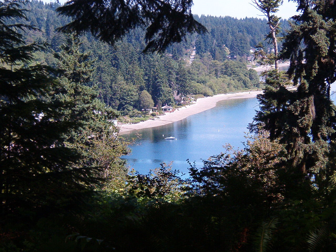 IllaheeState park · ~35 min drivePhoto: Dyknowsore at en.wikipedia, CC BY-SA 3.0 (via Wikimedia Commons)
 Saltwater State ParkState park · ~35 min drivePhoto: Joe Mabel, CC BY-SA 3.0 (via Wikimedia Commons)
 Kitsap MemorialState park · ~43 min drivePhoto: Scazon, CC BY 2.0 (via Wikimedia Commons)
 Kanaskat-PalmerState park · ~45 min drivePhoto: Steven Pavlov, CC BY-SA 4.0 (via Wikimedia Commons)
 OlallieState park · ~46 min drivePhoto: ODrums600 at English Wikipedia, Public domain (via Wikimedia Commons)
 Flaming GeyserState park · ~46 min drivePhoto: Steven Pavlov, CC BY-SA 4.0 (via Wikimedia Commons)
 NolteState park · ~49 min drivePhoto: martialstax, CC BY 2.0 (via Wikimedia Commons)
Best time to visit Bridle Trails
Best months: May–September. Best months have typical highs of 55–85 °F, lows of 30 °F or warmer (32 °F where the station doesn't record snow), at most one snowy day and no more than 12 wet days.
Jan
47° / 37°
19 wet · 1 snow
Feb
50° / 37°
16 wet · 1 snow
Mar
54° / 39°
18 wet
Apr
59° / 43°
15 wet
May
65° / 48°
12 wet
Jun
70° / 53°
10 wet
Jul
76° / 57°
6 wet
Aug
77° / 57°
6 wet
Sep
71° / 53°
9 wet
Oct
61° / 47°
14 wet
Nov
52° / 41°
18 wet
Dec
46° / 37°
20 wet · 1 snow
Typical high / low (°F) and days with rain or snow, 1991–2020. Measured at Seattle Sand Pt Wsfo, WA, 4.5 mi away at 60 ft. We don't have this place's elevation, so higher spots nearby can run cooler. Source: NOAA NCEI U.S. Climate Normals 1991–2020.
