

Pro Guiding Service
Rock Climbing business nearby (~24 mi away) — hasn't claimed their Roamze page yet
Mid-range climb among 18 routes at Beetle Bailey Slab.
Closure in the area
There's a closure order in Mt. Baker-Snoqualmie National Forest. It doesn't name Index Archeology, so check the source for the area it covers (2 listed).
Grand Park 2 Fire Closure Update
Agency closure covering Mt. Baker-Snoqualmie National Forest · Order 06-05-26-16 · USFS · Mt. Baker-Snoqualmie National Forest
Bell Creek Bridge Damaged
Agency closure covering Mt. Baker-Snoqualmie National Forest · USFS · Mt. Baker-Snoqualmie National Forest
Rescission of Shooting Restrictions
Agency alert covering Mt. Baker-Snoqualmie National Forest · USFS · Mt. Baker-Snoqualmie National Forest
Electric Fire Closure Order
Agency alert covering Mt. Baker-Snoqualmie National Forest · Order 06-05-26-19 · USFS · Mt. Baker-Snoqualmie National Forest
Mountain Goats Have Been Present on Yellow Aster Butte
Agency alert covering Mt. Baker-Snoqualmie National Forest · USFS · Mt. Baker-Snoqualmie National Forest
As of · Source: USFS · Mt. Baker-Snoqualmie National Forest. Agencies don't list every closure — check before you go.
Best months: July–September. Best months have typical highs of 55–85 °F, lows of 30 °F or warmer (32 °F where the station doesn't record snow), at most one snowy day and no more than 12 wet days.
Jan
42° / 31°
20 wet · 4 snow
Feb
47° / 32°
17 wet · 2 snow
Mar
52° / 34°
19 wet · 2 snow
Apr
59° / 38°
18 wet
May
66° / 44°
16 wet
Jun
69° / 48°
13 wet
Jul
77° / 52°
7 wet
Aug
77° / 52°
7 wet
Sep
71° / 48°
11 wet
Oct
58° / 41°
16 wet
Nov
47° / 36°
20 wet · 2 snow
Dec
41° / 32°
20 wet · 5 snow
Typical high / low (°F) and days with rain or snow, 1991–2020. Measured at Baring, WA, 5.4 mi away at 770 ft. Source: NOAA NCEI U.S. Climate Normals 1991–2020.
Campfire Ban in Effect Forest-wide
Mt. Baker-Snoqualmie National Forest · Order dated July 21, 2026; seen Aug 23, 2026 → lifted Sep 15, 2026 · Forest Service
One of 18 routes catalogued at Beetle Bailey Slab, this climb sits in the middle of the crag's range from 5.6 to 5.11b.
Photo of the crag

 Photo: Laurel Fan, CC BY-SA 2.0 (via Flickr)
The Wart
~0 min drive
Wart, The is a climbing area in Washington with 8 routes.
 Photo: Laurel Fan, CC BY-SA 2.0 (via Flickr)
Toxic - Tang Area
~0 min drive
Toxic - Tang Area in Washington has 12 climbing routes across 9 difficulty grades.
Photo: Laurel Fan, CC BY-SA 2.0 (via Flickr)Grandeur Buttress
~0 min drive
Grandeur Buttress in Washington has 7 climbing routes across 6 grades, offering mixed and trad options.
Photo: Laurel Fan, CC BY-SA 2.0 (via Flickr)Inner Walls
~0 min drive
Inner Walls in Washington has 4 routes with 4 difficulty grades, offering sport and trad climbing.
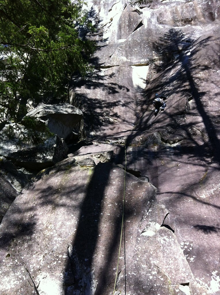 Photo: Laurel Fan, CC BY-SA 2.0 (via Flickr)
Inner Wall Trail
~0 min drive
Inner Wall Trail is a climbing area in Washington with 5 routes.
Photo: Laurel Fan, CC BY-SA 2.0 (via Flickr)(B) Sonic Slab
~0 min drive
Sonic Slab in Washington has 6 routes ranging across 6 difficulty grades.
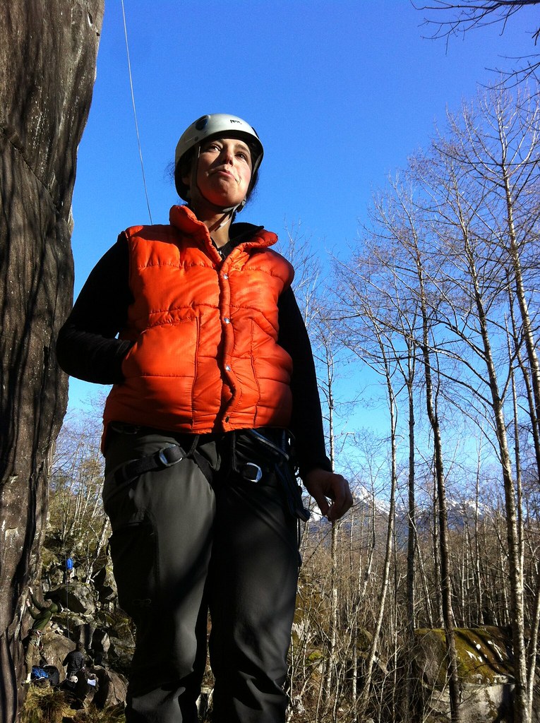 Photo: Laurel Fan, CC BY-SA 2.0 (via Flickr)
(Ca) Dihedral Wall
~1 min drive
Dihedral Wall in Washington has 5 trad climbing routes across 5 difficulty grades.
Photo: Laurel Fan, CC BY-SA 2.0 (via Flickr)(C) Main Wall, left side
~1 min drive
(C) Main Wall, left side is a climbing area in Washington with 47 routes.
 Photo: Laurel Fan, CC BY-SA 2.0 (via Flickr)
The Country
~1 min drive
Country, The in Washington has 42 climbing routes across 19 difficulty grades.
Photo: Laurel Fan, CC BY-SA 2.0 (via Flickr)Upper Rhythm
~1 min drive
Upper Rhythm in Washington has 5 climbing routes across 4 grades, offering sport and trad options.
Outfitters and businesses near Index. They haven’t set up their Roamze page yet.
Pro Guiding Service
Rock Climbing business nearby (~24 mi away) — hasn't claimed their Roamze page yet
International Sherpa Guide (ISG)
Rock Climbing business nearby (~27 mi away) — hasn't claimed their Roamze page yet
Uplift Climbing
Rock Climbing business nearby (~35 mi away) — hasn't claimed their Roamze page yet
