The Bird Watching Boulder
12-route climbing area in Washington with mixed, sport, and trad styles.
- 12 routes
- 5.6 – 5.12a
- Sport · Trad · Mixed
Best time to visit The Bird Watching Boulder
Best months: April–June and September–October. Best months have typical highs of 55–85 °F, lows of 30 °F or warmer (32 °F where the station doesn't record snow), at most one snowy day and no more than 12 wet days.
Jan
38° / 26°
14 wet
Feb
42° / 27°
12 wet
Mar
51° / 32°
13 wet
Apr
60° / 37°
11 wet
May
70° / 44°
10 wet
Jun
76° / 50°
8 wet
Jul
87° / 56°
4 wet
Aug
86° / 55°
3 wet
Sep
76° / 47°
6 wet
Oct
60° / 38°
10 wet
Nov
45° / 31°
13 wet
Dec
37° / 26°
15 wet
Typical high / low (°F) and days with rain or snow, 1991–2020. Measured at Spokane Felts Fld, WA, 7.6 mi away at 1,953 ft. The station sits about 1,300 ft lower than this place, so expect it a little cooler here. This station doesn't record snowfall. Source: NOAA NCEI U.S. Climate Normals 1991–2020.
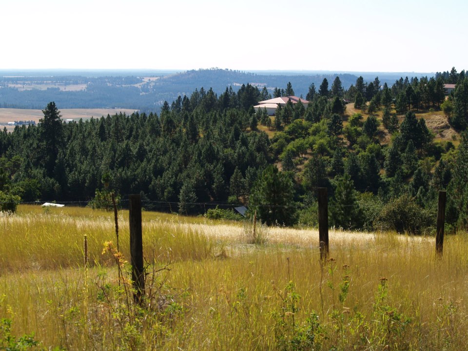
The Bird Watching Boulder is a climbing area in Washington's Iller Creek Conservation Area - Big Rock Addition, on county land. It sits among a cluster of climbing spots, with Rocks of Sharon and West Face each about 0.1 mile away and Big Rock about 0.2 mile off. The name points to the boulder itself, a natural anchor for the sport and trad routes that make up this corner of the conservation area. The climbing here is sport and trad, with 12 routes in total. The grades run from 5.6 up to 5.12a, and the hardest is The Snipe Hunt. The Vulture is a 5.10b sport route, and Flipping The Bird is a 5.11c. The area also has a mixed route, The Worm, at 5.6. Summer is the most comfortable time to climb. Typical averages from a nearby weather station in Spokane show July highs around 87°F with only about four wet days, while winter highs stay near freezing. That station sits roughly 1,300 feet lower than the boulder, so temperatures on the rock run cooler. For a walk, Stevens Creek Trail is about 0.3 mile away and Upper Valley Trail about 0.5 mile. Iller Creek Loop is roughly 1.8 miles off.
Routes (12)
Keep exploring — more climbs worth the drive
 Photo: waterarchives, CC BY-SA 2.0 (via Flickr)
Outback Wall
~30 min drive
Outback Wall in Idaho has 12 climbing routes across 8 grades, offering sport and trad options.
Photo: waterarchives, CC BY-SA 2.0 (via Flickr)Death Fall Wall
~30 min drive
Idaho climbing crag with varied routes and natural appeal.
Photo: waterarchives, CC BY-SA 2.0 (via Flickr)Rocky Wall
~31 min drive
Rocky Wall in Idaho has 7 sport climbing routes with 6 difficulty grades.
Rocks of Sharon
~0 min drive
Rocks of Sharon in Washington has 18 climbing routes across 14 grades, offering bouldering, sport, and trad.
West Face
~0 min drive
West Face in Washington has 23 climbing routes across 12 grades.
Big Rock
~0 min drive
Big Rock in Washington has 5 climbing routes across 4 grades, offering sport and trad options.
East Face
~0 min drive
East Face in Washington has 20 climbing routes across 11 grades.
Dishman
~9 min drive
Accessible Washington crag with varied climbing for developing climbers.
Dishman Bouldering Wall
~9 min drive
Dishman Bouldering Wall is a 15-route bouldering crag in Washington with 12 difficulty grades.
Main Wall
~9 min drive
Main Wall in Washington has 31 climbing routes across 17 grades, offering bouldering and sport styles.