West Fork Grays River
- 5.8 mi
- distance
- 1,555 ft
- high point
- Jun–Sep
- best months
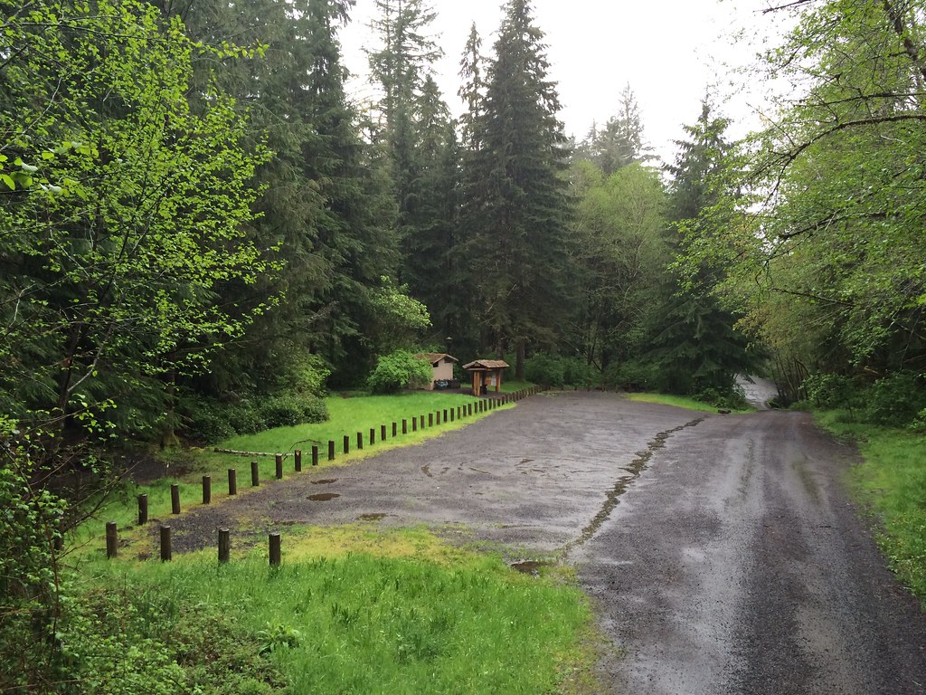
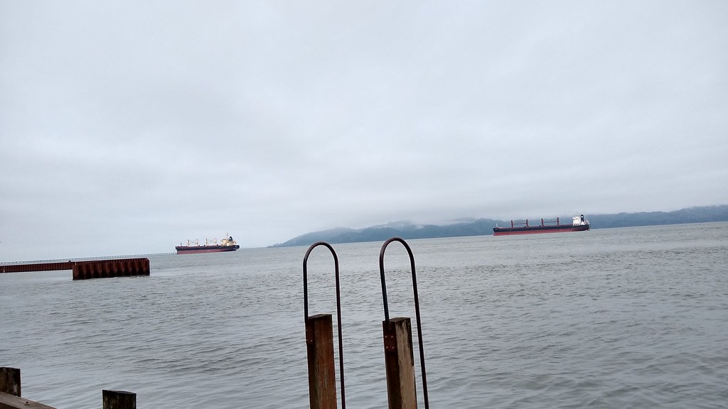
West Fork Grays River is a canoeing destination in Washington, managed by the State Department of Natural Resources. The river lies about 6 miles from the Grays River, and the paddling routes that branch off from it make it a natural base for exploring several waterways in a cluster of small rivers and creeks. Summer is the most comfortable time to paddle. At the nearby Grays River Hatchery weather station, typical July and August highs run around 77°F with only about six wet days a month, while winter months see highs near 50°F and rain on most days. Paddlers can easily combine trips on Hull Creek, about 4 miles away, and the Naselle River, about 4 miles away. Fossil Creek and Alder Creek are each within about 5.5 miles.
Local outfitters
- Ocean Park Camp & Retreat Center24 mi away
- River's Edge RV Resort and Camping29 mi away
Not on Roamze yet. Their page has how to reach them.
- Hull CreekCanoeing3.8 mi
 Naselle RiverCanoeingPhoto: Adbar, CC BY-SA 3.0 (via Wikimedia Commons)4 mi
- Ellis CreekCanoeing4.3 mi
- Salmon CreekCanoeing4.4 mi
- Pack TrailHiking4.8 mi
- Fossil CreekCanoeing5.1 mi
- Alder CreekCanoeing5.5 mi
- Grays RiverCanoeing6 mi
Source: Roamze catalog (indexable pages within 10 miles, PostGIS distance)
- Naselle RiverCanoeing · ~7 min drivePhoto: Adbar, CC BY-SA 3.0 (via Wikimedia Commons)
- Deep River Boat LaunchBoat launch · ~19 min drive
 Willapa RiverCanoeing · ~14 min drivePhoto: Joe Mabel, CC BY-SA 3.0 (via Wikimedia Commons)
- Aldrich Point Boat RampBoat launch · ~23 min drive
- Hull CreekCanoeing · ~7 min drive
- Ellis CreekCanoeing · ~7 min drive
- Salmon CreekCanoeing · ~7 min drive
- Fossil CreekCanoeing · ~9 min drive
- Alder CreekCanoeing · ~9 min drive
- Grays RiverCanoeing · ~10 min drive
Best time to visit West Fork Grays River
Best months: June–September. Best months have typical highs of 55–85 °F, lows of 30 °F or warmer (32 °F where the station doesn't record snow), at most one snowy day and no more than 12 wet days.
Jan
50° / 34°
20 wet
Feb
54° / 33°
17 wet
Mar
56° / 35°
20 wet
Apr
61° / 38°
18 wet
May
67° / 43°
14 wet
Jun
70° / 46°
10 wet
Jul
77° / 50°
6 wet
Aug
77° / 50°
6 wet
Sep
74° / 46°
9 wet
Oct
64° / 40°
15 wet
Nov
55° / 36°
19 wet
Dec
49° / 34°
21 wet
Typical high / low (°F) and days with rain or snow, 1991–2020. Measured at Grays Rvr Hatchery, WA, 3 mi away at 100 ft. The station sits about 1,500 ft lower than this place, so expect it a little cooler here. This station doesn't record snowfall. Source: NOAA NCEI U.S. Climate Normals 1991–2020.