Wildcat Trail
- 2.0 mi
- round trip
- 1,538 ft
- climb
- Out and back
- route
- Jun–Sep
- best months
Wildcat Trail is a mountain biking route in Washington, managed by the State Department of Natural Resources. It is an out-and-back ride of about 3.9 miles, with a one-way climb of roughly 640 feet from a low point of about 530 feet to a high of about 1,148 feet. The steepest stretch comes early on, around 0.3 miles in, with a grade of about 22 percent. Summer is the most comfortable time to ride. Typical averages from a nearby weather station in Bremerton show July and August highs around 77°F with only about six wet days a month, while winter months bring highs in the mid-40s and rain on most days. That station sits well below the trail, so temperatures on the route run cooler. Several other routes lie within a short drive. Vista Trail is about 1.2 miles away, and Solar and Plummer Trail are both within about 1.4 miles. Eagle Rock (a.k.a School Rock) is a climbing area about 1.6 miles off.
Local outfitters
- John Wayne's Waterfront Resort35 mi away
- Blue Sky RV Park40 mi away
Not on Roamze yet. Their page has how to reach them.
Best time to go · Jun–Sep
Best time to visit Wildcat Trail
Best months: June–September. Best months have typical highs of 55–85 °F, lows of 30 °F or warmer (32 °F where the station doesn't record snow), at most one snowy day and no more than 12 wet days.
Jan
47° / 36°
19 wet
Feb
49° / 35°
16 wet
Mar
54° / 38°
19 wet
Apr
59° / 41°
16 wet
May
66° / 46°
13 wet
Jun
70° / 51°
10 wet
Jul
77° / 55°
6 wet
Aug
77° / 55°
6 wet
Sep
72° / 51°
9 wet
Oct
61° / 45°
15 wet
Nov
51° / 39°
18 wet
Dec
46° / 35°
20 wet
Typical high / low (°F) and days with rain or snow, 1991–2020. Measured at Bremerton, WA, 5.2 mi away at 110 ft. The station sits about 1,000 ft lower than this place, so expect it a little cooler here. Source: NOAA NCEI U.S. Climate Normals 1991–2020.
Keep exploring — more rides worth the drive
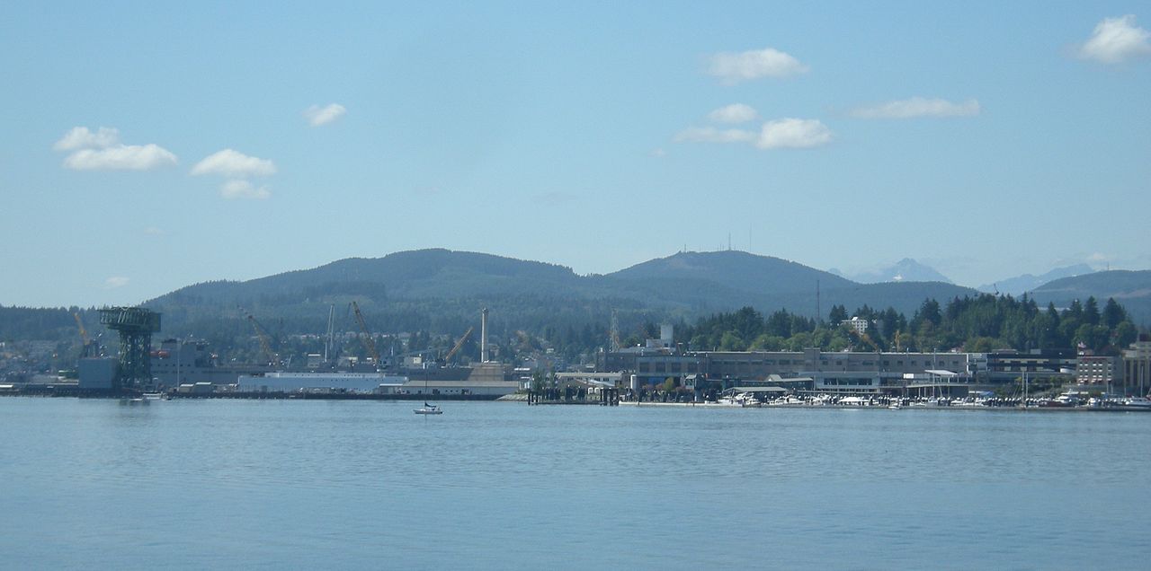
 Photo: Jamey Fenske, CC BY 3.0 (via Wikimedia Commons)
Mt. Ellinor
~38 min drive
3.18-mile trail in Mount Ellinor Lower Trailhead, Washington
RIDE
Westwood Link Trail
~18 min drive
0.19-mile easy singletrack out-and-back in Washington.
RIDE
Grand Forest North Trail System
~22 min drive
0.77-mile singletrack loop in Washington with 200 ft elevation gain.
RIDE
Derailed
~31 min drive
1.09-mile out-and-back trail in Washington rated Black Diamond / Difficult
 Photo: U.S. Forest Service- Pacific Northwest Region, Public domain (via Wikimedia Commons)
Mt. Rose
~39 min drive
0.70-mile trail in Mount Ellinor Lower Trailhead, Washington
RIDE
Gazzam Lake Main Trail
~19 min drive
0.98-mile out-and-back trail with 127 ft gain in Washington.
Photo: U.S. Forest Service- Pacific Northwest Region, Public domain (via Wikimedia Commons)Upper Mount Ellinor Trail #812.1
~38 min drive
0.26-mile trail at Mount Ellinor Lower Trailhead, 29 ft elevation gain.
RIDE
Gazzam Lake Main Trail
~19 min drive
0.35-mile out-and-back trail in Washington with 49 ft elevation gain.
RIDE
Wildcat Trail
~2 min drive
1.74-mile out-and-back trail in Washington with 564 ft of elevation gain.
RIDE
Kojima Trail
~20 min drive
0.30-mile easy singletrack out-and-back in Washington with 11 ft gain.
Map and trail data © OpenStreetMap contributors
