Raging Tiger
- 2.7 mi
- distance
- 555 ft
- climb
- Intermediate
- difficulty
- Gravel
- surface
- Jul–Sep
- best months
Raging Tiger is a 2.69-mile gravel trail in Washington with 563 feet of elevation gain. It is part of the Raging River trail system managed by the State Department of Natural Resources.
Local outfitters
- Blue Sky RV Park5 mi away
Not on Roamze yet. Their page has how to reach them.
 Return PolicyMountain biking · ~4 min drivePhoto: Steven Pavlov, CC BY-SA 4.0 (via Wikimedia Commons)
- Raging TigerMountain biking · Next door
 Easy Tiger (upper)Mountain biking · ~4 min drivePhoto: brewbooks from near Seattle, USA, CC BY-SA 2.0 (via Wikimedia Commons)
- Raging TigerMountain biking · Next door
- The LegendMountain biking · ~4 min drivePhoto: brewbooks from near Seattle, USA, CC BY-SA 2.0 (via Wikimedia Commons)
- Raging TigerMountain biking · Next door
- Physical Therapy (Middle)Mountain biking · Next door
- Executive Decision (ED)Mountain biking · Next door
- Physical TherapyMountain biking · Next door
- Physical Therapy (Lower)Mountain biking · Next door
Also worth it near here
 Raging RiverCanoeing · ~2 min drivePhoto: Steven Pavlov, CC BY-SA 4.0 (via Wikimedia Commons)
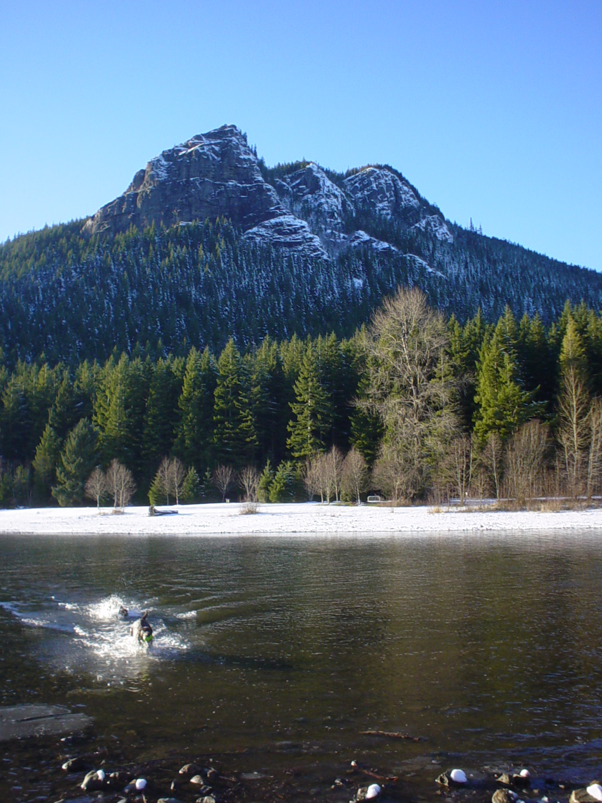 Rattlesnake MountainSummit · ~5 min drivePhoto: No machine-readable author provided. Kgrr assumed (based on copyright claims)., CC BY 2.5 (via Wikimedia Commons)
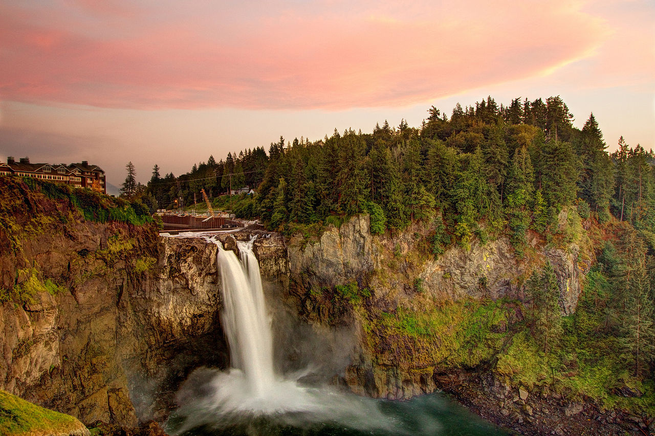 Snoqualmie FallsWaterfall · ~7 min drivePhoto: Meher Anand Kasam, CC BY-SA 3.0 (via Wikimedia Commons)
- Snoqualmie Falls Forest Theater CampsitesCamping · ~7 min drive
Best time to visit Raging Tiger
Best months: July–September. Best months have typical highs of 55–85 °F, lows of 30 °F or warmer (32 °F where the station doesn't record snow), at most one snowy day and no more than 12 wet days.
Jan
39° / 32°
19 wet · 5 snow
Feb
42° / 32°
17 wet · 4 snow
Mar
46° / 33°
20 wet · 4 snow
Apr
51° / 36°
19 wet · 1 snow
May
59° / 42°
17 wet
Jun
63° / 46°
15 wet
Jul
70° / 51°
9 wet
Aug
71° / 52°
8 wet
Sep
64° / 47°
12 wet
Oct
54° / 41°
17 wet
Nov
44° / 36°
20 wet · 2 snow
Dec
39° / 31°
20 wet · 5 snow
Typical high / low (°F) and days with rain or snow, 1991–2020. Measured at Cedar Lake, WA, 6.5 mi away at 1,560 ft. Source: NOAA NCEI U.S. Climate Normals 1991–2020.
Map and trail data © OpenStreetMap contributors
