Executive Decision (ED)
- 0.9 mi
- distance
- 411 ft
- climb
- Dirt
- surface
- Jul–Sep
- best months
Executive Decision (ED) is a 0.90-mile trail in the Raging River trail system in Washington. The trail gains 509 feet of elevation and is surfaced with dirt.
Local outfitters
- Blue Sky RV Park4 mi away
Not on Roamze yet. Their page has how to reach them.
 Return PolicyMountain biking · ~4 min drivePhoto: Steven Pavlov, CC BY-SA 4.0 (via Wikimedia Commons)
- Raging TigerMountain biking · Next door
 Easy Tiger (upper)Mountain biking · ~4 min drivePhoto: brewbooks from near Seattle, USA, CC BY-SA 2.0 (via Wikimedia Commons)
- Raging TigerMountain biking · ~1 min drive
- The LegendMountain biking · ~5 min drivePhoto: brewbooks from near Seattle, USA, CC BY-SA 2.0 (via Wikimedia Commons)
- Raging TigerMountain biking · ~1 min drive
- Raging TigerMountain biking · Next door
- Physical TherapyMountain biking · Next door
- Pacific Climbing Trail (PCT)Mountain biking · Next door
- Pacific Climbing Trail (PCT) OptionalMountain biking · Next door
Also worth it near here
 Raging RiverCanoeing · ~2 min drivePhoto: Steven Pavlov, CC BY-SA 4.0 (via Wikimedia Commons)
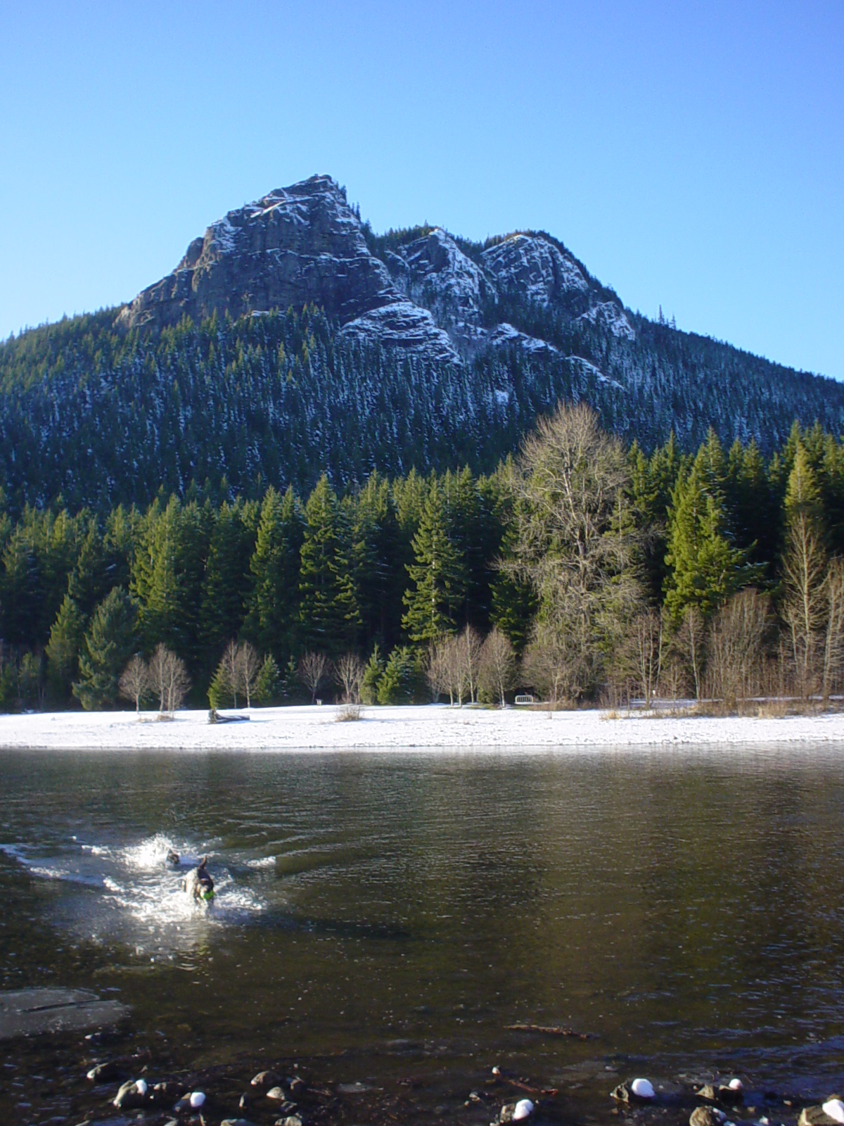 Rattlesnake MountainSummit · ~6 min drivePhoto: No machine-readable author provided. Kgrr assumed (based on copyright claims)., CC BY 2.5 (via Wikimedia Commons)
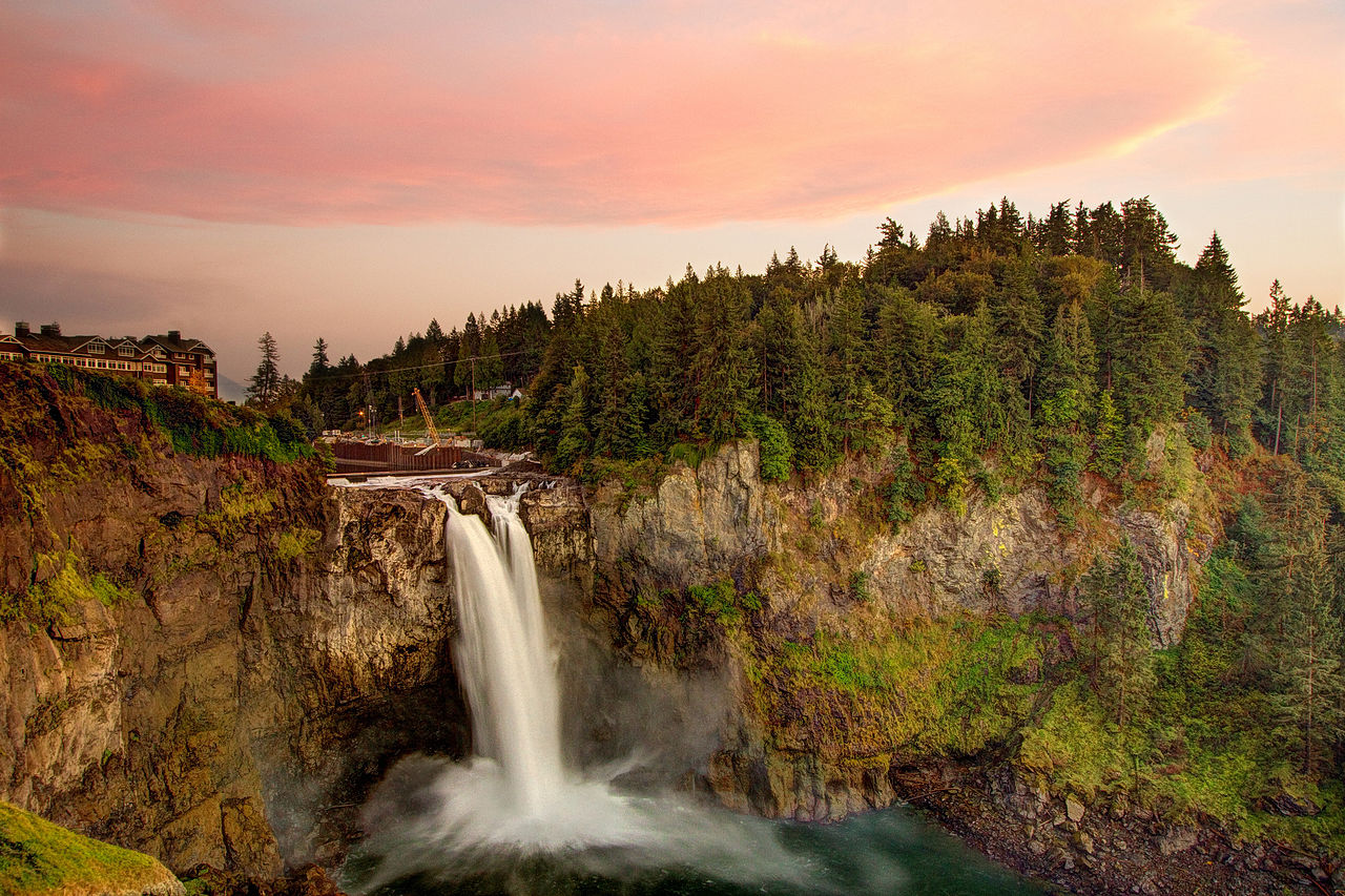 Snoqualmie FallsWaterfall · ~6 min drivePhoto: Meher Anand Kasam, CC BY-SA 3.0 (via Wikimedia Commons)
- Snoqualmie Falls Forest Theater CampsitesCamping · ~7 min drive
Best time to visit Executive Decision (ED)
Best months: July–September. Best months have typical highs of 55–85 °F, lows of 30 °F or warmer (32 °F where the station doesn't record snow), at most one snowy day and no more than 12 wet days.
Jan
39° / 32°
19 wet · 5 snow
Feb
42° / 32°
17 wet · 4 snow
Mar
46° / 33°
20 wet · 4 snow
Apr
51° / 36°
19 wet · 1 snow
May
59° / 42°
17 wet
Jun
63° / 46°
15 wet
Jul
70° / 51°
9 wet
Aug
71° / 52°
8 wet
Sep
64° / 47°
12 wet
Oct
54° / 41°
17 wet
Nov
44° / 36°
20 wet · 2 snow
Dec
39° / 31°
20 wet · 5 snow
Typical high / low (°F) and days with rain or snow, 1991–2020. Measured at Cedar Lake, WA, 6.5 mi away at 1,560 ft. The station sits about 700 ft lower than this place, so expect it a little cooler here. Source: NOAA NCEI U.S. Climate Normals 1991–2020.
Map and trail data © OpenStreetMap contributors
