Park Lane RV Park
Campground
Campground · 2.8 mi from the trail
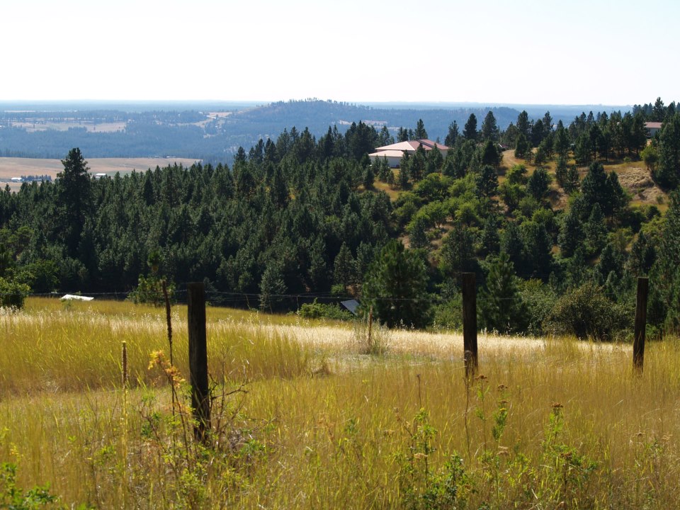
Tire Trail is a short, easy hike in Washington, about 1.3 miles from the town of Parkwater. The trail is an out-and-back that starts and ends at about 2,558 feet, with a high point of 2,558 feet and a low of 2,333 feet. The climb is back-loaded, with the steepest stretch around 0.3 miles in, and the total elevation change over the round trip is about 245 feet. Summer is the most comfortable time to go. At a nearby weather station in Spokane, July typically averages highs near 87°F and lows around 56°F, with only about four wet days. The station sits roughly 605 feet lower than the trail, so expect temperatures on the trail to run a bit cooler. The hike takes about half an hour. Granite Trail is about 0.3 miles away, and the climbing areas of Minnehaha and Hallway Boulder are about 0.6 miles off. Esmeralda Trail is just under a mile away.
Park Lane RV Park
Campground
 If it rainsSpokanevalleymuseum, CC BY-SA 4.0 · Wikimedia Commons
Spokane Valley Heritage Museum
Museum
Places © OpenStreetMap contributors, Places © Overture Maps Foundation · Photos: Spokanevalleymuseum, CC BY-SA 4.0 (commons)
More in Post FallsNot on Roamze yet. Their page has how to reach them.
Daily highs and lows, wind and the chance of precipitation at the summit and route start for the next 7 days, from the Open-Meteo model.
Source: Roamze catalog (indexable pages within 10 miles, PostGIS distance)
 Polly Judd TrailHiking · ~11 min drivePhoto: Loco Steve, CC BY 3.0 (via Wikimedia Commons)
 Iller Creek LoopHiking · ~12 min drivePhoto: Robert Ashworth from Bellingham, WA., USA, CC BY 2.0 (via Wikimedia Commons)Trolley TrailHiking · ~13 min drivePhoto: Loco Steve, CC BY 3.0 (via Wikimedia Commons)
Best months: April–June and September–October. Best months have typical highs of 55–85 °F, lows of 30 °F or warmer (32 °F where the station doesn't record snow), at most one snowy day and no more than 12 wet days.
Jan
38° / 26°
14 wet
Feb
42° / 27°
12 wet
Mar
51° / 32°
13 wet
Apr
60° / 37°
11 wet
May
70° / 44°
10 wet
Jun
76° / 50°
8 wet
Jul
87° / 56°
4 wet
Aug
86° / 55°
3 wet
Sep
76° / 47°
6 wet
Oct
60° / 38°
10 wet
Nov
45° / 31°
13 wet
Dec
37° / 26°
15 wet
Typical high / low (°F) and days with rain or snow, 1991–2020. Measured at Spokane Felts Fld, WA, 1 mi away at 1,953 ft. The station sits about 600 ft lower than this place, so expect it a little cooler here. This station doesn't record snowfall. Source: NOAA NCEI U.S. Climate Normals 1991–2020.
About 0.4 mi round trip.
About 245 ft of climbing round trip.
It is rated easy.
About 0 hours round trip.
2: Esmeralda Trail and Tire Trail.
Map and trail data © OpenStreetMap contributors