Phelps Creek Trail
- 6.7 mi
- round trip
- 4,106 ft
- climb
- 6,281 ft
- high point
- Out and back
- route
Is Phelps Creek Trail open right now?
Closure in the area
There's a closure order in Okanogan-Wenatchee National Forest. It doesn't name Phelps Creek Trail, so check the source for the area it covers (2 listed).
Little Giant Fire Closure Superseding
Agency closure covering Okanogan-Wenatchee National Forest · Order 06-17-07-2026-48 · USFS · Okanogan-Wenatchee National Forest
Railroad and Preston Creek Road Closure
Agency closure covering Okanogan-Wenatchee National Forest · Order 06-17-05-26-04 · USFS · Okanogan-Wenatchee National Forest
Little Giant Fire Closure Order Reduced on the Wenatchee River and Entiat Ranger District
Agency alert covering Wenatchee River Ranger District · Order 06-17-07-2026-46 · USFS · Wenatchee River Ranger District
Cle Elum River Restoration Area Closure on the Cle Elum Ranger District
Agency alert covering Okanogan-Wenatchee National Forest · USFS · Okanogan-Wenatchee National Forest
Gold Creek Restoration Project Area Closure on Cle Elum Ranger District
Agency alert covering Okanogan-Wenatchee National Forest · USFS · Okanogan-Wenatchee National Forest
As of · Source: USFS · Okanogan-Wenatchee National Forest. Agencies don't list every closure — check before you go.
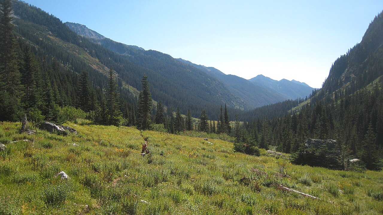
Phelps Creek Trail is a 13.5-mile out-and-back hike in the Glacier Peak Wilderness, part of the Wenatchee River Ranger District of the Okanogan-Wenatchee National Forest in Washington. The Forest Service manages the land, and the route climbs from about 3,600 feet to a high point of 6,281 feet, with a total elevation gain of 4,106 feet over the course of the trip. The trail is rated expert, and the steepest stretch comes at about 6 miles in, where the grade reaches 51 percent. The route is long and steep, and the climb is roughly twice the elevation gain of the 6.7-mile distance listed in the title. Plan on about 6.5 hours for the round trip, and expect the most demanding part of the hike to come in the middle. The trail starts close to the Leroy Creek Trail and the Leroy Creek High Route, both about 0.1 mile away. Phelps Creek Campground sits about 3.9 miles off, and Alpine Meadows is about 5.5 miles away.
Local outfitters
- Triangle Recreation Camp35 mi away
- Icicle River RV Resort41 mi away
Not on Roamze yet. Their page has how to reach them.
- Leroy Creek TrailHiking0.1 mi
- LEROY CREEK HIGH ROUTEHiking0.1 mi
- Carne High Route TrailHiking1.5 mi
- Leroy High Route TrailHiking1.5 mi
- Phelps Creek CgCamping3.9 mi
- Alpine MeadowsCamping5.5 mi
- HoldenCamping5.6 mi
 Suiattle RiverCanoeingPhoto: Jason Hollinger, CC BY 2.0 (via Wikimedia Commons)9.4 mi
Source: Roamze catalog (indexable pages within 10 miles, PostGIS distance)
 LYMAN LAKES TRAILHiking · ~6 min drivePhoto: brewbooks, CC BY-SA 2.0 (via Wikimedia Commons)
 TriadHiking · ~10 min drivePhoto: Walter Siegmund, CC BY 2.5 (via Wikimedia Commons)
 Flower Dome TrailHiking · ~10 min drivePhoto: Walter Siegmund, CC BY 2.5 (via Wikimedia Commons)
 Cloudy Pass TrailHiking · ~10 min drivePhoto: Marshmallow from Seattle, WA, USA, CC BY 2.0 (via Wikimedia Commons)
 RUBIN RIDGEHiking · ~9 min drivePhoto: U.S. Forest Service- Pacific Northwest Region, Public domain (via Wikimedia Commons)
- Liberty Cap Trail #1562.2Hiking · ~10 min drivePhoto: Walter Siegmund, CC BY 2.5 (via Wikimedia Commons)
- Carne High Route TrailHiking · ~3 min drive
- Leroy High Route TrailHiking · ~3 min drive
- Pass No Pass TrailHiking · ~9 min drivePhoto: Walter Siegmund, CC BY 2.5 (via Wikimedia Commons)
- Buck Creek Pass Trail #789Hiking · ~10 min drivePhoto: Walter Siegmund, CC BY 2.5 (via Wikimedia Commons)
Map and trail data © OpenStreetMap contributors
