Paul's Trail
- 2.5 mi
- round trip
- 1,343 ft
- climb
- 3,778 ft
- high point
- Out and back
- route
- Jul–Sep
- best months
Clear today
Weather is good · OpenWeather · checked 6 h ago
Paul's Trail is a moderate out-and-back hike in Washington, about 1.6 miles from the town of Ronald. The route is roughly 4.9 miles long, with a total elevation gain of 1,343 feet, and it reaches a high point of 3,778 feet. The climb is steady, and the steepest stretch comes at about 1.9 miles in, where the grade reaches 14 percent. Summer is the most comfortable time to go. Typical averages from the Stampede Pass weather station, about 16 miles away, show July and August highs near 68 to 69°F with only seven or eight wet days a month, while winter months bring highs around freezing and rain on most days. The trip takes about 2.5 hours. Cable Trail and Coal Mines Trail both lie within about 1.6 miles, and Sad Face Boulder offers climbing about 2.1 miles away. For an overnight stay, Wish Poosh Campground is about 4.3 miles off.
Local outfitters
- Icicle River RV Resort25 mi away
- Valley Camp35 mi away
Not on Roamze yet. Their page has how to reach them.
- Cable TrailHiking1.5 mi
- Coal Mines TrailHiking1.6 mi
- Sad Face BoulderRock climbing2.1 mi
- Tara BoulderRock climbing2.1 mi
- West Fork Teanaway RiverCanoeing3.6 mi
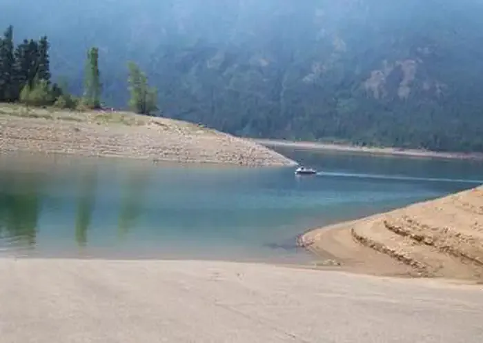 Wish Poosh CampgroundCampingPhoto: Recreation.gov (RIDB) / public domain4.3 mi
- RV Trailer ParkingCamping4.3 mi
- Middle Fork Teanaway RiverCanoeing6.2 mi
Source: Roamze catalog (indexable pages within 10 miles, PostGIS distance)
 Lower Frog Pond TrailHiking · ~7 min drivePhoto: brewbooks from near Seattle, USA, CC BY-SA 2.0 (via Wikimedia Commons)
 Easton Ridge Trail #1212Hiking · ~10 min drivePhoto: brewbooks from near Seattle, USA, CC BY-SA 2.0 (via Wikimedia Commons)
- Canyon No. 6Hiking · ~4 min drive
- TEANAWAY TRAILHiking · ~6 min drive
- Upper Frog Pond TrailHiking · ~8 min drivePhoto: brewbooks from near Seattle, USA, CC BY-SA 2.0 (via Wikimedia Commons)
- Middle Fork Teanaway TrailHiking · ~6 min drive
- Coal Mines TrailHiking · ~4 min drive
- BEAR CREEK LOOP SOUTHHiking · ~7 min drive
- Lower Frog Pond TrailHiking · ~8 min drivePhoto: brewbooks from near Seattle, USA, CC BY-SA 2.0 (via Wikimedia Commons)
- DOMERIE PEAKHiking · ~8 min drive
Best time to visit Paul's Trail
Best months: July–September. Best months have typical highs of 55–85 °F, lows of 30 °F or warmer (32 °F where the station doesn't record snow), at most one snowy day and no more than 12 wet days.
Jan
32° / 25°
20 wet
Feb
35° / 26°
17 wet
Mar
40° / 29°
20 wet
Apr
46° / 33°
19 wet
May
53° / 38°
17 wet
Jun
60° / 43°
14 wet
Jul
68° / 50°
8 wet
Aug
69° / 51°
7 wet
Sep
63° / 47°
10 wet
Oct
49° / 38°
16 wet
Nov
38° / 30°
19 wet
Dec
32° / 24°
20 wet
Typical high / low (°F) and days with rain or snow, 1991–2020. Measured at Stampede Pass, WA, 15.8 mi away at 3,959 ft. This station doesn't record snowfall. Source: NOAA NCEI U.S. Climate Normals 1991–2020.
Map and trail data © OpenStreetMap contributors
