Domerie Peak
- 9.5 mi
- round trip
- 7,806 ft
- climb
- 5,521 ft
- high point
- Out and back
- route
- Jul–Sep
- best months
Domerie Peak is an out-and-back hike in Washington's Wenatchee National Forest, managed by the Forest Service. The trail starts at about 3,184 feet and climbs to 5,521 feet, with a total gain of 7,806 feet over 19 miles. The route is rated expert, and the steepest stretch comes within the first half mile, where the grade reaches 48%. Summer is the most comfortable time to go. Typical averages from the Stampede Pass weather station, about 11 miles away, show July and August highs near 68 to 69°F with only seven or eight wet days a month. That station sits roughly 1,600 feet below the peak, so temperatures on top run cooler. The Domerie Peak Trail #1308 lies just 0.3 miles away, and the Easton Ridge Trail #1212 is about 1.4 miles off. Wish Poosh Campground, 1.9 miles away, offers a place to stay. Paddlers can head to Little Creek, about 6 miles from the peak.
Local outfitters
- Icicle River RV Resort28 mi away
- Valley Camp31 mi away
Not on Roamze yet. Their page has how to reach them.
Conditions and forecast on Thomas Mountain
Daily highs and lows, wind and the chance of precipitation at the summit and route start for the next 7 days, from the Open-Meteo model.
- Domerie Peak Trail #1308Hiking0.3 mi
 Easton Ridge Trail #1212HikingPhoto: brewbooks from near Seattle, USA, CC BY-SA 2.0 (via Wikimedia Commons)1.4 mi
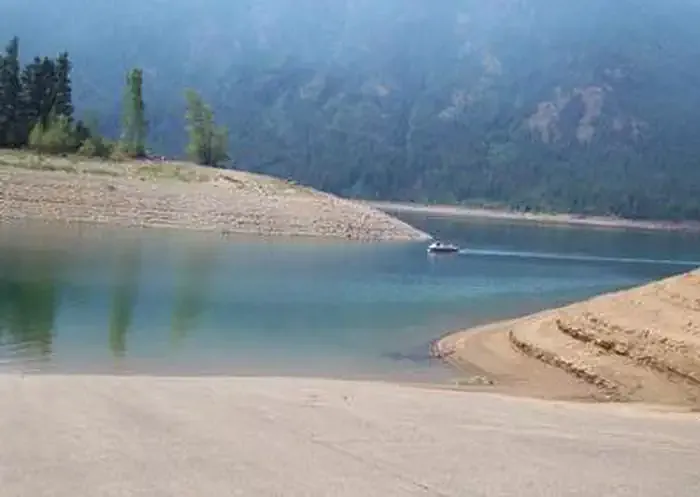 Wish Poosh CampgroundCampingPhoto: Recreation.gov (RIDB) / public domain1.9 mi
- Little CreekCanoeing6 mi
- Tara BoulderRock climbing6.1 mi
- Choss Boss BoulderRock climbing6.1 mi
- West Fork Teanaway RiverCanoeing6.3 mi
 Cle Elum River Group SiteCampingPhoto: Recreation.gov (RIDB) / public domain6.5 mi
Source: Roamze catalog (indexable pages within 10 miles, PostGIS distance)
- Easton Ridge Trail #1212Hiking · ~2 min drivePhoto: brewbooks from near Seattle, USA, CC BY-SA 2.0 (via Wikimedia Commons)
 Domerie Divide Trail #1308.2Hiking · ~4 min drivePhoto: U.S. Forest Service- Pacific Northwest Region, Public domain (via Wikimedia Commons)
- Pipeline TrailHiking · ~5 min drivePhoto: brewbooks from near Seattle, USA, CC BY-SA 2.0 (via Wikimedia Commons)
- Kachess Beacon Trail #1315.3Hiking · ~6 min drivePhoto: U.S. Forest Service- Pacific Northwest Region, Public domain (via Wikimedia Commons)
- Kachess Ridge Trail #1315Hiking · ~6 min drive
 HOWSON CREEKHiking · ~11 min drivePhoto: Trystian Sky from Birch Bay, WA, USA, CC BY-SA 2.0 (via Wikimedia Commons)
- Salmon Viewing TrailHiking · ~4 min drive
 Silver Creek Tie #1308.1Hiking · ~9 min drivePhoto: brewbooks from near Seattle, USA, CC BY-SA 2.0 (via Wikimedia Commons)
- KACHESS RIDGEHiking · ~6 min drive
- Domerie Peak Trail #1308Hiking · Next door
Best time to visit DOMERIE PEAK
Best months: July–September. Best months have typical highs of 55–85 °F, lows of 30 °F or warmer (32 °F where the station doesn't record snow), at most one snowy day and no more than 12 wet days.
Jan
32° / 25°
20 wet
Feb
35° / 26°
17 wet
Mar
40° / 29°
20 wet
Apr
46° / 33°
19 wet
May
53° / 38°
17 wet
Jun
60° / 43°
14 wet
Jul
68° / 50°
8 wet
Aug
69° / 51°
7 wet
Sep
63° / 47°
10 wet
Oct
49° / 38°
16 wet
Nov
38° / 30°
19 wet
Dec
32° / 24°
20 wet
Typical high / low (°F) and days with rain or snow, 1991–2020. Measured at Stampede Pass, WA, 10.9 mi away at 3,959 ft. The station sits about 1,600 ft lower than this place, so expect it a little cooler here. This station doesn't record snowfall. Source: NOAA NCEI U.S. Climate Normals 1991–2020.

Route details
- Distance
- 9.5 mi round trip
- Climbing
- About 7,806 ft
- Summit
- 5,267 ft
- Difficulty
- Expert
- Time
- About 5.5 hours
Questions about this route
How long is the DOMERIE PEAK on Thomas Mountain?
About 9.5 mi round trip.
How much elevation gain is on the DOMERIE PEAK?
About 7,806 ft of climbing round trip.
How hard is the DOMERIE PEAK?
It is rated expert.
How long does the DOMERIE PEAK take?
About 5.5 hours round trip.
