Old Growth Trail
- 1.1 mi
- round trip
- 1,320 ft
- climb
- 4,460 ft
- high point
- Out and back
- route
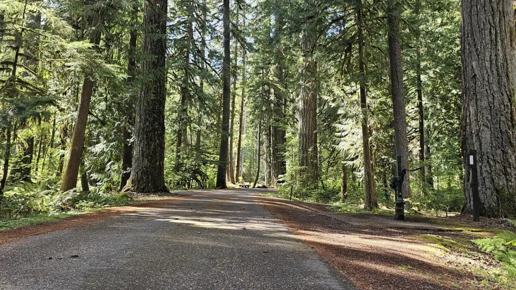
Old Growth Trail is a moderate out-and-back hike in Washington, about 5 miles from the town of Kulshan. The route is roughly 2.3 miles long, with a total elevation gain of 1,320 feet, and it reaches a high point of about 4,460 feet. The climb is front-loaded, with the steepest stretch at about 0.64 miles in, where the grade reaches 21 percent. The trail starts at an elevation of about 3,881 feet and ends at a similar level, so the round trip involves about 1,320 feet of climbing and the same amount of descent. Plan on about 1.5 hours for the hike. Canyon Lake Loop is the closest nearby trail, about 1.2 miles away. Clearwater Creek and Hedrick Creek offer canoeing within about 5 miles, and Douglas Fir Campground is about 8 miles off.
Local outfitters
- WHATCOM MEADOWS17 mi away
- Lutherwood Camp & Retreat Center21 mi away
Not on Roamze yet. Their page has how to reach them.
- Canyon Lake LoopHiking1.2 mi
- Clearwater CreekCanoeing2.7 mi
- Hedrick CreekCanoeing4.9 mi
 Jake's TrailHikingPhoto: brewbooks from near Seattle, USA, CC BY-SA 2.0 (via Wikimedia Commons)5.8 mi
- Glacier Creek RoadCross-country skiing5.9 mi
- Glacier CreekCanoeing6.1 mi
- HELIOTROPE RIDGEHiking6.4 mi
 Douglas Fir CampgroundCampingPhoto: Recreation.gov (RIDB) / public domain7.9 mi
Source: Roamze catalog (indexable pages within 10 miles, PostGIS distance)
- Jake's TrailHiking · ~10 min drivePhoto: brewbooks from near Seattle, USA, CC BY-SA 2.0 (via Wikimedia Commons)
- West Ridge RouteHiking · ~12 min drivePhoto: brewbooks from near Seattle, USA, CC BY-SA 2.0 (via Wikimedia Commons)
 Ridley Creek TrailHiking · ~18 min drivePhoto: Walter Siegmund (talk), CC BY 2.5 (via Wikimedia Commons)
- North Ridge RouteHiking · ~14 min drive
 The New TrailHiking · ~16 min drivePhoto: Melissa Wright, CC BY-SA 3.0 (via Wikimedia Commons)
 Deadhorse Camp TrailHiking · ~15 min drivePhoto: Walter Siegmund, CC BY 2.5 (via Wikimedia Commons)
- Canyon Lake LoopHiking · ~2 min drive
- Church Mountain TrailHiking · ~17 min drive
 Coxcomb Ridge RouteHiking · ~18 min drivePhoto: Gonzalo Lopez de Haro, Public domain (via Wikimedia Commons)
- Ridge TrailHiking · ~16 min drivePhoto: Melissa Wright, CC BY-SA 3.0 (via Wikimedia Commons)
Map and trail data © OpenStreetMap contributors
