Canyon Lake Loop
- 1.5 mi
- round trip
- 2,628 ft
- climb
- 2,622 ft
- high point
- Out and back
- route
Canyon Lake Loop is a 3-mile out-and-back hike in Washington, about 3.7 miles from the town of Kulshan. The route climbs steadily from a starting point near 2,587 feet to a high point of 2,622 feet, with a total elevation gain of 2,628 feet over the course of the trip. The climb is hardest around the 0.8-mile mark, where the grade reaches about 14 percent, and the trail is rated hard. The trip takes about 2.5 hours. The route is a steady climb, and the return is a repeat of the same descent. Plan for a full day, and consider pairing the hike with another outing in the area. Old Growth Trail lies about 1.2 miles away, and Clearwater Creek offers canoeing about 3.9 miles off. For an overnight stay, Douglas Fir Campground is about 8.4 miles away.
Local outfitters
- WHATCOM MEADOWS17 mi away
- Lutherwood Camp & Retreat Center20 mi away
Not on Roamze yet. Their page has how to reach them.
- Old Growth TrailHiking1.2 mi
- Clearwater CreekCanoeing3.9 mi
- Hedrick CreekCanoeing5.1 mi
 Jake's TrailHikingPhoto: brewbooks from near Seattle, USA, CC BY-SA 2.0 (via Wikimedia Commons)6.5 mi
- Skull TrailHiking6.6 mi
- Bay to Baker TrailHiking6.7 mi
- Glacier CreekCanoeing7.1 mi
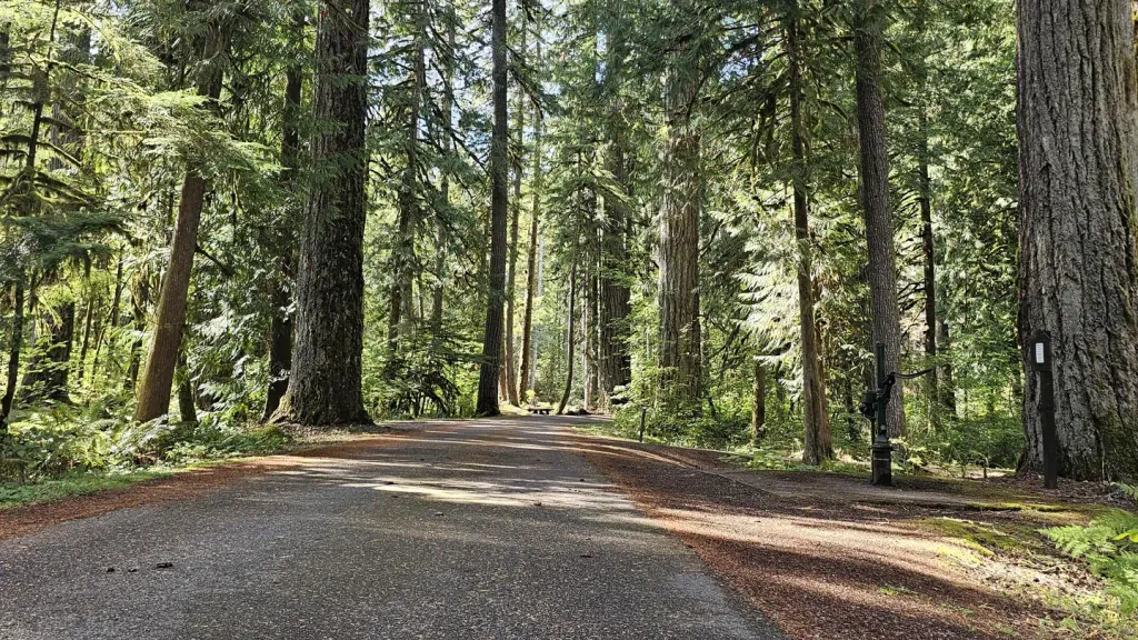 Douglas Fir CampgroundCampingPhoto: Recreation.gov (RIDB) / public domain8.4 mi
Source: Roamze catalog (indexable pages within 10 miles, PostGIS distance)
- Jake's TrailHiking · ~11 min drivePhoto: brewbooks from near Seattle, USA, CC BY-SA 2.0 (via Wikimedia Commons)
- West Ridge RouteHiking · ~13 min drivePhoto: brewbooks from near Seattle, USA, CC BY-SA 2.0 (via Wikimedia Commons)
- Elbow Lake TrailHiking · ~15 min drive
- North Ridge RouteHiking · ~16 min drive
 The New TrailHiking · ~14 min drivePhoto: Melissa Wright, CC BY-SA 3.0 (via Wikimedia Commons)
- Ridge TrailHiking · ~14 min drivePhoto: Melissa Wright, CC BY-SA 3.0 (via Wikimedia Commons)
- RIDLEY CREEKHiking · ~18 min drive
- Church Mountain TrailHiking · ~19 min drive
- Skull TrailHiking · ~11 min drive
 Deadhorse Camp TrailHiking · ~17 min drivePhoto: Walter Siegmund, CC BY 2.5 (via Wikimedia Commons)
Map and trail data © OpenStreetMap contributors
